2020s Maps of Hancock County, Georgia
Explore 34 historic maps of Hancock County from the 2020s. These maps offer a rare glimpse into what life looked like during the 2020s — showing old roads, neighborhoods, homes, and landmarks that have changed or disappeared over time.
Whether you're researching your family's past, planning a metal detecting trip, or studying how Hancock County's landscape evolved across the 2020s, these high-resolution maps are a powerful tool for exploring the history of this region.
- Focus on a specific era: All maps on this page are from the 2020s, giving you a focused view of this time period.
- See what’s changed: Compare century-old streets, trails, and buildings to today's modern landscape using overlays and satellite layers.
- Research with precision: Use these maps for genealogy, historical research, land use analysis, or educational projects.
- View, download, or print: Maps are fully viewable online in high resolution, and can be downloaded or printed for your own records.
Start exploring Hancock County's history through authentic maps from the 2020s. This is your window into the past.
Hancock County, GA maps
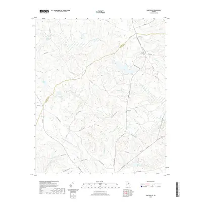
(34)- 2020 Map of Deepstep, 2020 Print
 2020 Deepstep2020 Print · USGSCovers Hancock County, including Deepstep, Goat Town, and other nearby areas
 - 2020 Map of Sparta, 2020 Print
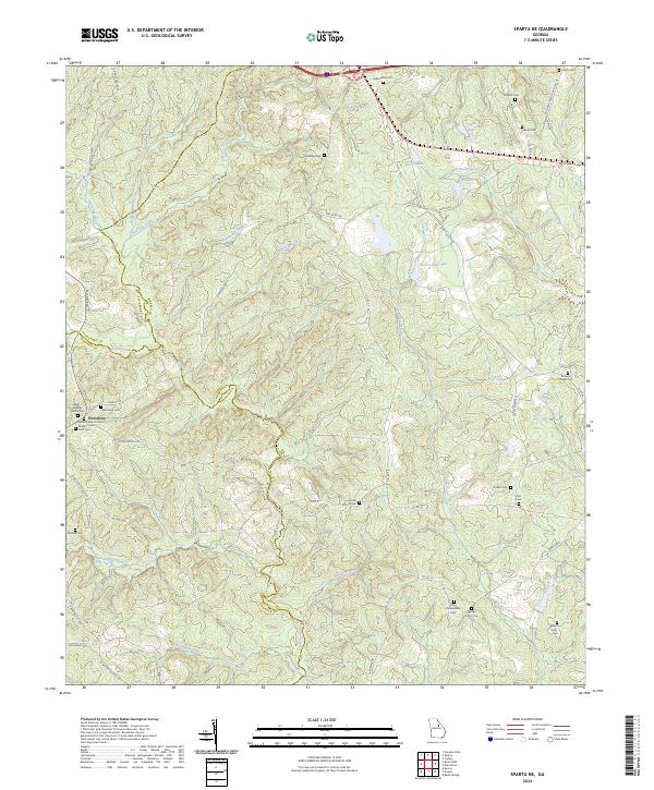
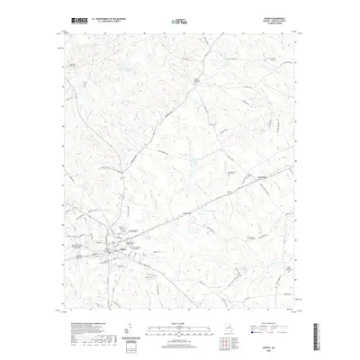 2020 Sparta2020 Print · USGSCovers Hancock County, including Sparta, Dixie, and other nearby areas
 - 2020 Map of Sparta NE, 2020 Print
 2020 Sparta NE2020 Print · USGSCovers Hancock County, including Powelton, Warren County, and other nearby areas
 - 2020 Map of Jewell, 2020 Print
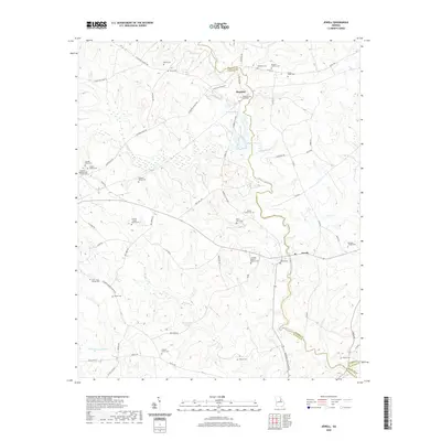 2020 Jewell2020 Print · USGSCovers Hancock County, including Jewell, Mayfield, and other nearby areas
 - 2020 Map of Sparta NW, 2020 Print
 2020 Sparta NW2020 Print · USGSCovers Hancock County, including Springfield, Greene County, and other nearby areas
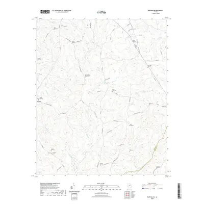
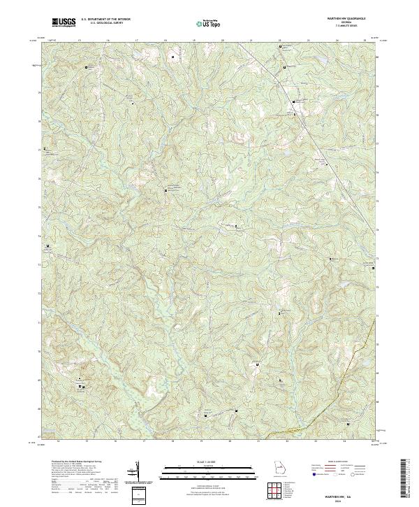
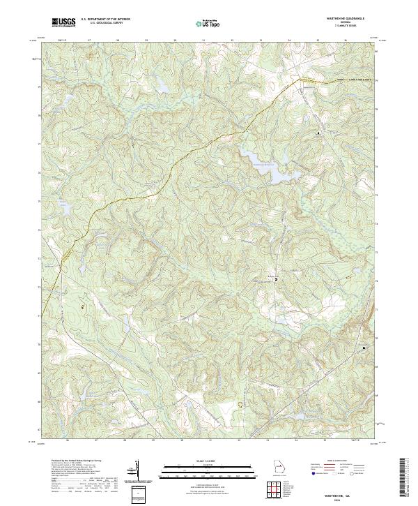
 - 2020 Map of Warthen NE, 2020 Print
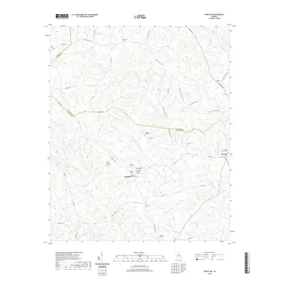
 2020 Warthen NE2020 Print · USGSCovers Hancock County, including Washington County, Glascock County, and other nearby areas
 - 2020 Map of Warthen NW, 2020 Print
 2020 Warthen NW2020 Print · USGSCovers Hancock County, including Washington County, United States, and other nearby areas
 - 2020 Map of Mitchell, 2020 Print
 2020 Mitchell2020 Print · USGSCovers Hancock County, including Mitchell, Agricola, and other nearby areas
 - 2020 Map of Meda, 2020 Print
 2020 Meda2020 Print · USGSCovers Hancock County, including Eatonton, Crooked Creek, and other nearby areas
 - 2020 Map of Devereux, 2020 Print
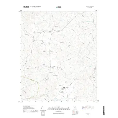 2020 Devereux2020 Print · USGSCovers Hancock County, including Beulah, Underwood, and other nearby areas
 - 2020 Map of Lake Sinclair West, 2020 Print
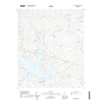
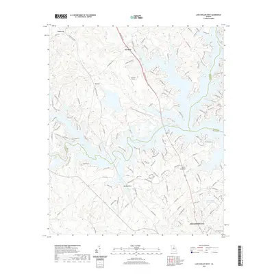 2020 Lake Sinclair West2020 Print · USGSCovers Hancock County, including Milledgeville, Flat Rock, and other nearby areas
 - 2020 Map of Rockville, 2020 Print
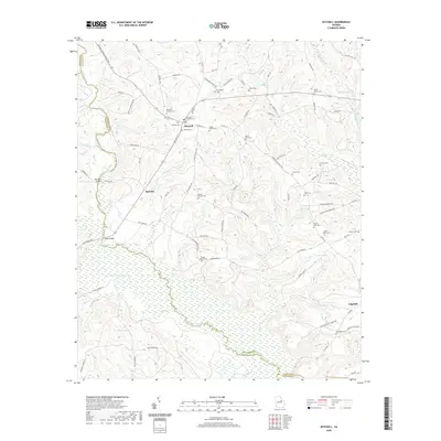
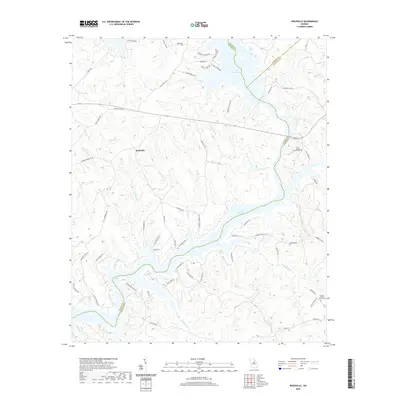 2020 Rockville2020 Print · USGSCovers Hancock County, including Oconee Springs, Rockville, and other nearby areas
 - 2020 Map of Shoulderbone, 2020 Print
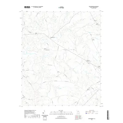 2020 Shoulderbone2020 Print · USGSCovers Hancock County, including Howell Grove, Shoulderbone, and other nearby areas
 - 2020 Map of Liberty, 2020 Print
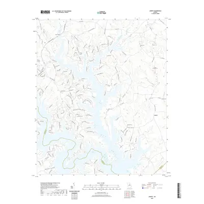 2020 Liberty2020 Print · USGSCovers Hancock County, including Liberty, Lake Oconee, and other nearby areas
 - 2020 Map of Lake Sinclair East, 2020 Print
 2020 Lake Sinclair East2020 Print · USGSCovers Hancock County, including Milledgeville, Sandtown, and other nearby areas
 - 2020 Map of Friendship, 2020 Print
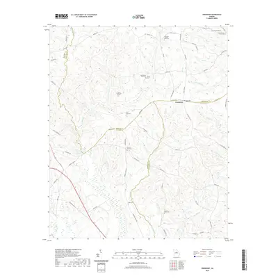 2020 Friendship2020 Print · USGSCovers Hancock County, including Pleasant Grove, Griffin, and other nearby areas
 - 2020 Map of White Plains, 2020 Print
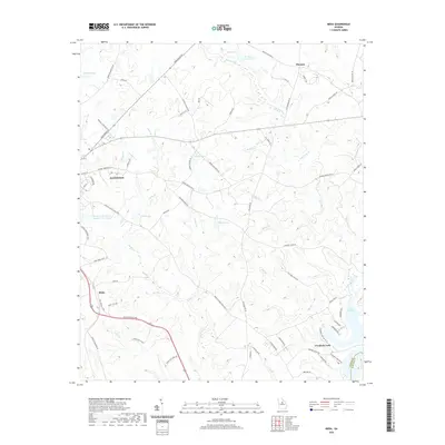
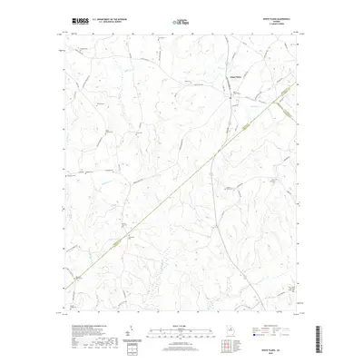 2020 White Plains2020 Print · USGSCovers Hancock County, including White Plains, Mosquito Crossing, and other nearby areas
 - 2024 Map of Warthen NW, 2024 Print
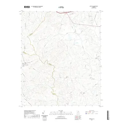
 2024 Warthen NW2024 Print · USGSHancock and Washington Counties are shown in the twenty-first century, revealing a rural landscape defined by family heritage and historic congregations. Researchers can trace numerous family burial sites like the Dickson Family Cem Number 2 and Garland Family Cem near Buffalo Creek.
 - 2024 Map of Sparta NE, 2024 Print
 2024 Sparta NE2024 Print · USGSThe convergence of three Georgia counties near Powelton comes to life in this contemporary survey of a deeply historic landscape. Genealogists can trace family lines through a wealth of local sites like Ivey Confederate Cem and New Hope Cem.
 - 2024 Map of Jewell, 2024 Print
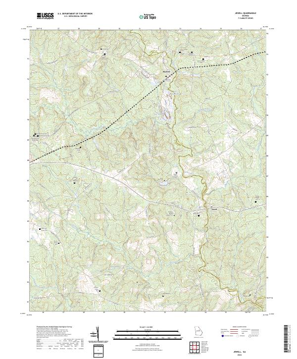 2024 Jewell2024 Print · USGSHancock County's riverfront settlements and family farmsteads are documented in this recent survey. Genealogists can trace family lines through numerous sites like Jewell Cem, Rock Mills Cem, and the John McCown Gravesite.
 - 2024 Map of White Plains, 2024 Print
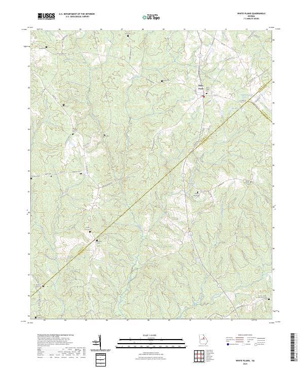 2024 White Plains2024 Print · USGSGeorgia's rural Greene County and its neighboring borders are captured here in the modern era. Genealogists can trace family heritage at White Plains Cem, Centennial Cem, and The Blue Hole.
 - 2024 Map of Warthen NE, 2024 Print
 2024 Warthen NE2024 Print · USGSThe Hancock and Washington county line runs through this Georgia landscape during the early twenty-first century. Researchers can trace rural cemetery locations like Mineral Springs Cem and historic water features including Hamburgh Millpond.
 - 2024 Map of Sparta NW, 2024 Print
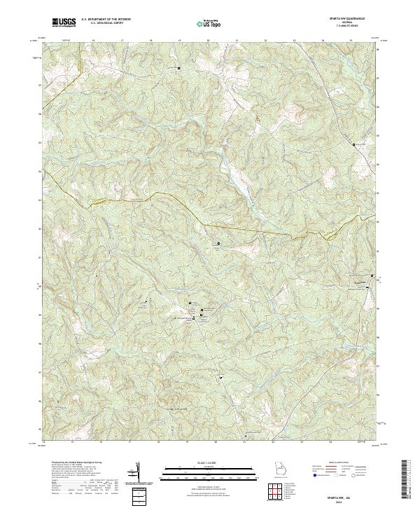 2024 Sparta NW2024 Print · USGSIn the rural Georgia Piedmont during the twenty-first century, this area preserves a landscape of family-run farms and old churchyards. Genealogists can trace family names at the Johnston Family Cem and Hubert Family Cem, or locate the historic center of Powelton.
 - 2024 Map of Devereux, 2024 Print
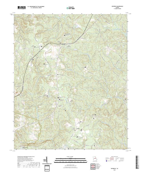 2024 Devereux2024 Print · USGSHancock County's rural communities and family legacies are preserved here as they appear in the twenty-first century. Researchers can trace ancestral sites like the Kennedy Family Graveyard and Stanton Grove Baptist Church Cem near the historic crossroads of Devereux.
 - 2024 Map of Sparta, 2024 Print
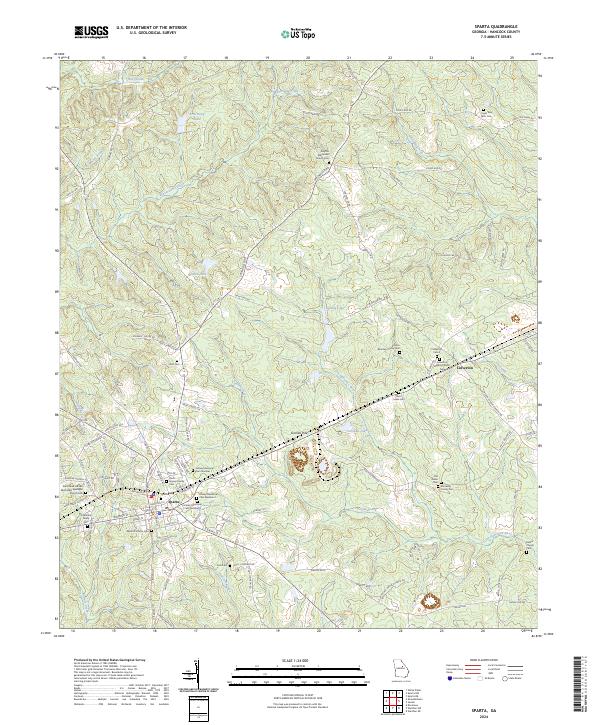 2024 Sparta2024 Print · USGSHancock County in the modern era maintains its deep connection to 19th-century settlement patterns and family heritage. Researchers can trace land tracts near Sparta and find numerous historic sites like Culverton, the Old Indian Cem, and the Georgia RR corridor.
Showing maps 1-25 of 34
Top cities of Hancock County
Frequently asked questions
- What are the different types of historical maps available for Hancock County?
- What is the oldest map of Hancock County?
- Where can I purchase historical maps of Hancock County for my home or office?
- Where can I download high-res historical maps of Hancock County?
- Are there historical topographic maps available for Hancock County?
- Is there historical aerial imagery available for Hancock County?
- Where are historical maps of Hancock County sourced from?