2010s Maps of Hancock County, Georgia
Explore 51 historic maps of Hancock County from the 2010s. These maps offer a rare glimpse into what life looked like during the 2010s — showing old roads, neighborhoods, homes, and landmarks that have changed or disappeared over time.
Whether you're researching your family's past, planning a metal detecting trip, or studying how Hancock County's landscape evolved across the 2010s, these high-resolution maps are a powerful tool for exploring the history of this region.
- Focus on a specific era: All maps on this page are from the 2010s, giving you a focused view of this time period.
- See what’s changed: Compare century-old streets, trails, and buildings to today's modern landscape using overlays and satellite layers.
- Research with precision: Use these maps for genealogy, historical research, land use analysis, or educational projects.
- View, download, or print: Maps are fully viewable online in high resolution, and can be downloaded or printed for your own records.
Start exploring Hancock County's history through authentic maps from the 2010s. This is your window into the past.
Hancock County, GA maps
(51)- 2011 Map of Liberty, 2011 Print
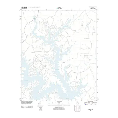 2011 Liberty2011 Print · USGSThe community of Liberty and the expansive waters of Lake Oconee are captured here at the start of the 2010s. Researchers can trace numerous family landmarks, including Hendricks Cemetery, Old Salem Cemetery, and the Fuller Bridge crossing.
 - 2011 Map of Lake Sinclair East, 2011 Print
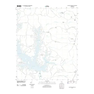 2011 Lake Sinclair East2011 Print · USGSThe intricate eastern shoreline of Lake Sinclair is captured here during a period of modern lakeside development and established rural heritage. Researchers can locate many small family burial grounds, including the Bob Jones Family Cemetery and James Butts Family Cemetery, alongside local landmarks like the Baldwin County Airport.
 - 2011 Map of Lake Sinclair West, 2011 Print
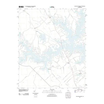 2011 Lake Sinclair West2011 Print · USGSThe western shores of Lake Sinclair are captured here in the early twenty-first century, showing a mix of lakeside residential growth and quiet rural crossroads. Genealogists and local historians can trace family roots near Meriwether, Howe Cemetery, and the community of Nona.
 - 2011 Map of Friendship, 2011 Print
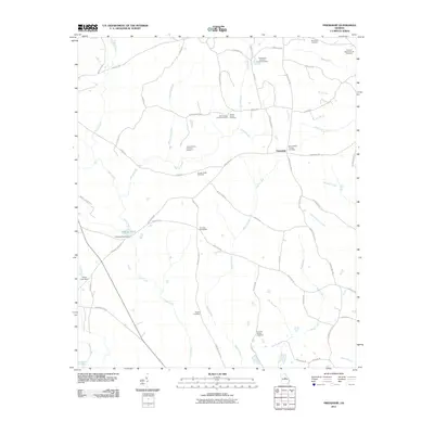 2011 Friendship2011 Print · USGSFriendship and its surrounding farmsteads are documented here in the early twenty-first century, revealing a landscape steeped in family history. Genealogists can trace lineage through numerous local sites including the Rogers Cemetery, Mount Nebo Church Cemetery, and Harmony Churchyard.
 - 2011 Map of Devereux, 2011 Print
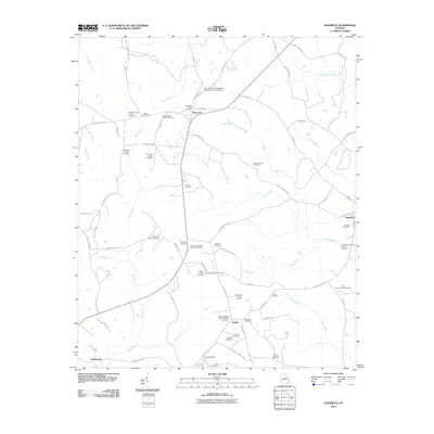 2011 Devereux2011 Print · USGSHancock County’s rural landscape is mapped here in the early twenty-first century, showing a remarkable density of family-owned land and ancestral sites. Genealogists can trace hundreds of years of local history through dozens of named plots like the Stanton Family Cemetery and the Thornton Family Cemetery.
 - 2011 Map of Shoulderbone, 2011 Print
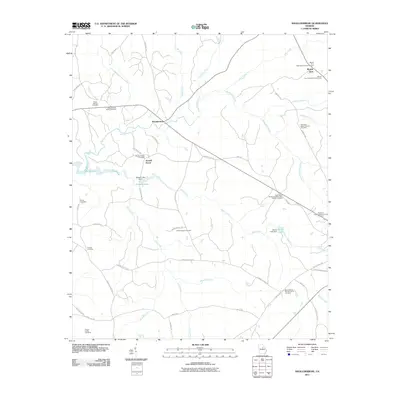 2011 Shoulderbone2011 Print · USGSHancock County at the dawn of the new millennium preserves a landscape of family landholdings and small church communities. Genealogists can trace deep local roots through several family burial sites like the Green-Hudson Family Cemetery and the Barnes-Rives-Warren Family Cemetery.
 - 2011 Map of Rockville, 2011 Print
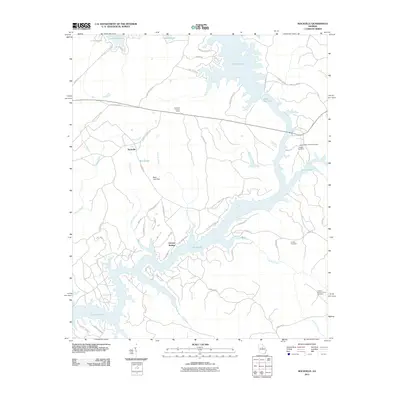 2011 Rockville2011 Print · USGSPutnam County's lakefront communities are captured here in the early twenty-first century as the landscape centers around the waters of Lake Sinclair. Local historians can locate family landmarks like the Harper Cemetery or trace old routes such as Ferry Rd and Texas Chapel Rd.
 - 2011 Map of White Plains, 2011 Print
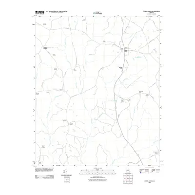 2011 White Plains2011 Print · USGSWhite Plains and its surrounding Georgia countryside are shown here at the start of the twenty-first century, revealing a landscape deeply rooted in local family history. Genealogists can trace numerous ancestral sites including the Moons Academy Cemetery, Swaggy Valley, and the White Plains Cemetery.
 - 2011 Map of Meda, 2011 Print
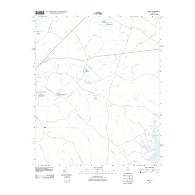 2011 Meda2011 Print · USGSPutnam County at the start of the 2010s shows a landscape of rural crossroads and extensive water management. Genealogists and local historians can trace family-named landmarks and settlements like Phoenix and Meda or explore the development around Lake Sinclair.
 - 2011 Map of Warthen NW, 2011 Print
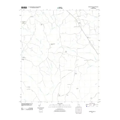 2011 Warthen NW2011 Print · USGSThis rural Georgia landscape near Zebulon is characterized by its numerous family-named landmarks and historical churchyards during the early twenty-first century. Genealogists can trace deep local roots through sites like Browns Chapel African Methodist Episcopal Cemetery, Nazareth Church Cemetery, and the Barnes Family Cemetery.
 - 2011 Map of Jewell, 2011 Print
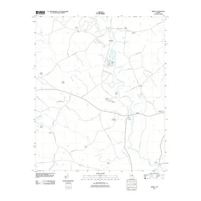 2011 Jewell2011 Print · USGSJewell and the banks of the Ogeechee River appear in detail during the early twenty-first century. Genealogists can locate numerous family burial sites such as the Latimer-Heath Family Cemetery and Shivers Family Cemetery.
 - 2011 Map of Sparta NE, 2011 Print
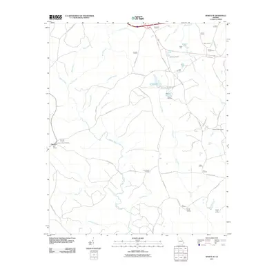 2011 Sparta NE2011 Print · USGSPowelton and the surrounding Georgia countryside are shown in this detail-rich survey from the early twenty-first century. Genealogists can trace family heritage through numerous remote burial sites like Henry-Burnley Family Cemetery and Elim Cemetery along the Ogeechee River.
 - 2011 Map of Deepstep, 2011 Print
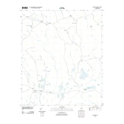 2011 Deepstep2011 Print · USGSThe rural landscape of Washington County near the turn of the decade is captured here in detail. Genealogists and local historians can locate numerous family burial sites such as the Old Darien Cemetery, Mount Sinai Cemetery, and Deepstep Cemetery while tracing routes across Buffalo Creek.
 - 2011 Map of Warthen NE, 2011 Print
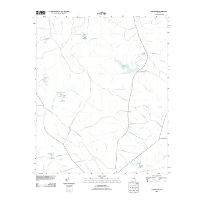 2011 Warthen NE2011 Print · USGSWashington County at the start of the 2010s remains a landscape of managed waterways and ancestral landmarks. Researchers can trace rural lineages through sites like Mineral Springs Cemetery and the many historic impoundments including Hamburg Millpond and Burgamy Millpond.
 - 2011 Map of Mitchell, 2011 Print
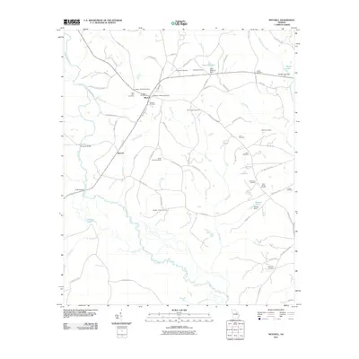 2011 Mitchell2011 Print · USGSGlascock County’s rural character is preserved in this early twenty-first-century survey of the Ogeechee River valley. Genealogists can trace family footprints at Mitchell Cemetery, Friendship Cemetery, and the historic Harrisons Bridge.
 - 2011 Map of Sparta, 2011 Print
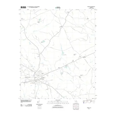 2011 Sparta2011 Print · USGSHancock County in the early twenty-first century reveals a landscape defined by ancestral family plots and rural crossroads. Genealogists can trace deep local roots at sites like the Old Indian Cemetery, Holsey Memorial Cemetery Number 1, and the Smyrna Methodist Church Cemetery.
 - 2011 Map of Sparta NW, 2011 Print
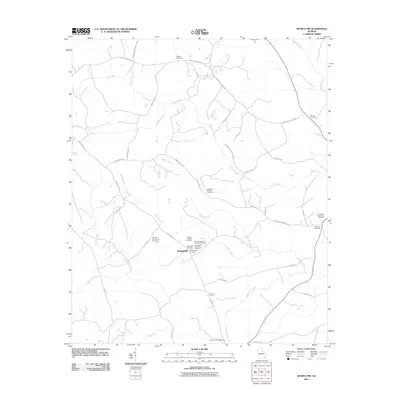 2011 Sparta NW2011 Print · USGSGeorgia's rural Hancock County is captured here in the early twenty-first century, centered on the settlement of Springfield. Genealogists can trace deep local roots through family sites like Johnston Family Cemetery and the Powelton Community Cemetery.
 - 2014 Map of Shoulderbone, 2014 Print
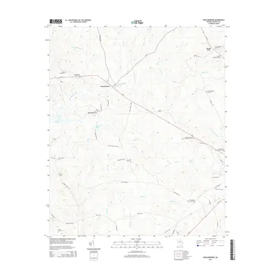 2014 Shoulderbone2014 Print · USGSHancock County at the start of the 2010s reveals a rural landscape defined by family estates and longstanding church communities. Genealogists can locate several private burial sites like Green-Hudson Family Cem and Barnes-Rives Warren Family Cem.
 - 2014 Map of Jewell, 2014 Print
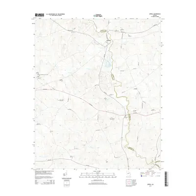 2014 Jewell2014 Print · USGSThe borderlands of Warren and Hancock counties come to life in this survey of the Ogeechee River valley. Genealogists and local historians can trace dozens of family landmarks, from the McCown Grave to the Shivers Family Cem and the settlement at Jewell.
 - 2014 Map of Sparta NW, 2014 Print
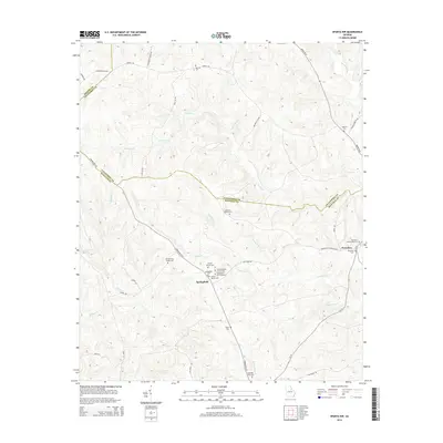 2014 Sparta NW2014 Print · USGSTaliaferro and Hancock counties meet in this rural Georgia landscape during the early 2010s. Genealogists can trace decades of local lineage through numerous family burial sites like the Hilsman-Lary Family Cem and the Old Springfield Church.
 - 2014 Map of Meda, 2014 Print
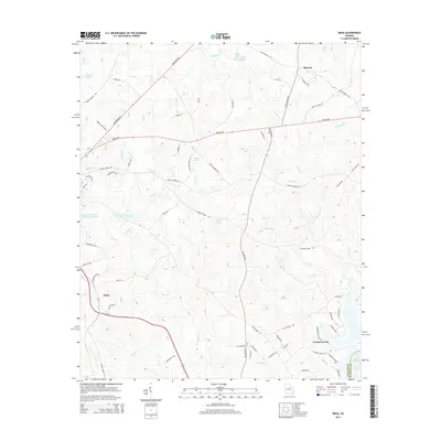 2014 Meda2014 Print · USGSPutnam County in the early twenty-first century is a landscape of winding creeks and rural crossroads. Researchers can trace family-named routes and small settlements like Meda, Phoenix, and the northern finger of Lake Sinclair.
 - 2014 Map of Liberty, 2014 Print
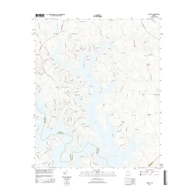 2014 Liberty2014 Print · USGSGreene County and the shores of Lake Oconee are shown in 2014, balancing contemporary residential growth with deep-rooted rural history. Genealogists can locate several family burial grounds including Ward Hill Cem, Rowland Cem, and Liberty Cem.
 - 2014 Map of Warthen NW, 2014 Print
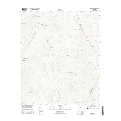 2014 Warthen NW2014 Print · USGSWashington and Hancock Counties are shown here during the early twenty-first century, revealing a rural landscape defined by ancient creek beds and family legacies. Genealogists can trace numerous burial sites and churchyards, from the N F Garland Gravesite to the Archer Grove Church Cem.
 - 2014 Map of Friendship, 2014 Print
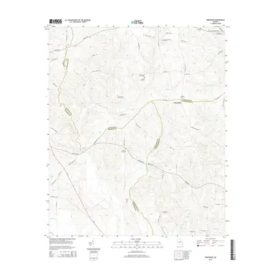 2014 Friendship2014 Print · USGSCentered on the border of Baldwin, Hancock, and Washington counties in the 2010s, this area preserves a quiet rural landscape. Genealogists can trace family lineage through numerous small burial sites like John Thomas Family Cem and the Harmony Churchyard.
 - 2014 Map of Rockville, 2014 Print
 2014 Rockville2014 Print · USGSRockville and Oconee Springs are shown here in the early twenty-first century as the landscape transitioned between the shores of two major reservoirs. Local historians can trace family roots at the Little-Hudson Family Cem or locate the Rockville Lookout Tower along the Sparta Hwy.
Showing maps 1-25 of 51
Top cities of Hancock County
Frequently asked questions
- What are the different types of historical maps available for Hancock County?
- What is the oldest map of Hancock County?
- Where can I purchase historical maps of Hancock County for my home or office?
- Where can I download high-res historical maps of Hancock County?
- Are there historical topographic maps available for Hancock County?
- Is there historical aerial imagery available for Hancock County?
- Where are historical maps of Hancock County sourced from?