Old Maps of Hancock County, Georgia for Academic Research
Study the evolution of Hancock County with 110 high-resolution historic maps. Whether you're teaching, researching, or modeling changes in land use, these maps provide essential visual documentation of urban, environmental, and geographic change.
- Analyze long-term change: Track patterns in development, transportation, and natural features.
- Ideal for environmental or urban studies: Support academic projects with primary historical map data.
- Use in the classroom or lab: Educators and researchers rely on these maps to bring historical context to life.
These maps are a powerful tool for teaching, research, and visualizing how Hancock County has changed over the decades.
Hancock County, GA maps
(110)- 1912 Map of Milledgeville
 1912 Milledgeville1912 Print · USGSMilledgeville and its surroundings at the start of the century show a landscape shaped by state institutions and an expanding rail network. Researchers can trace the extensive State Sanitarium grounds or locate rural landmarks like Coleman Mill and Griffin Academy.3 unique versions available
 - 1953 Map of Athens, 1966 Print
 1953 Athens1966 Print · USGSGeorgia's Piedmont and Savannah River borderlands come alive in this mid-century survey of the region surrounding Athens and Augusta. Trace the rail-and-river economy through the Georgia RR and landmarks like the Fort Gordon Military Reservation.3 unique versions available
 - 1958 Map of Athens
 1958 Athens1958 Print · USGSNorth-central Georgia and the Savannah River valley are captured in the late fifties, showing the region as the new reservoirs were filling. Researchers can trace historic rail lines like the Georgia RR and locate rural landmarks such as Social Circle, Graves Mountain, and the Fort Gordon Military Reservation.
 - 1959 Map of Athens
 1959 Athens1959 Print · USGSNortheast Georgia and the South Carolina borderlands appear here in the mid-fifties, during a decade of infrastructure growth. Genealogists and historians can trace the rail-and-river geography of towns like Social Circle, the sprawl of Fort Gordon Military Reservation, and the newly formed Clark Hill Reservoir.
 - 1960 Map of Warthen NE, 1961 Print
 1960 Warthen NE1961 Print · USGSThe rural borderlands of Washington and Hancock Counties are captured here in the early sixties, showing a landscape defined by millponds and country churches. Genealogists can trace family roots at Cummings Cem or locate community centers like Pine Hill Ch and Hamburgh Millpond.2 unique versions available
 - 1961 Map of Deepstep, 1963 Print
 1961 Deepstep1963 Print · USGSWashington and Hancock counties in the early sixties reveal a landscape of rural communities and emerging industrial pits. Genealogists and historians can trace family locations near Linton, Goat Town, and numerous churches like Bold Spring Church.3 unique versions available
 - 1961 Map of Warthen NW, 1963 Print
 1961 Warthen NW1963 Print · USGSThe rural landscape of Hancock and Washington Counties is captured here in the early sixties, showing a world of family farms and timber tracts. Researchers can locate numerous local landmarks including Knowles Chapel, Galilee Sch, and the Frasier Cem along the winding Buffalo Creek.2 unique versions available
 - 1963 Map of Athens
 1963 Athens1963 Print · USGSGeorgia's Piedmont and the Savannah River valley are captured in the early sixties as major reservoirs and military installations reshaped the landscape. Researchers can trace the development of Clark Hill Reservoir, locate the Fort Gordon Military Reservation, and find historic towns like Social Circle and Eatonton.
 - 1972 Map of Liberty, 1974 Print
 1972 Liberty1974 Print · USGSGreene County is depicted in the early seventies as a landscape of deep river bends and rural church communities. Genealogists and historians can trace the paths of Richland Creek and locate family landmarks such as Liberty Chapel, Flat Rock Ch, and Lawrence Center.2 unique versions available
 - 1972 Map of Shoulderbone, 1974 Print
 1972 Shoulderbone1974 Print · USGSHancock County in the early seventies remains a landscape of traditional rural communities and deep-seated family roots. Genealogists can locate numerous country landmarks such as Fairmount Ch, Warren Chapel, and the settlement of Shoulderbone.
 - 1972 Map of Meda, 1974 Print
 1972 Meda1974 Print · USGSPutnam County in the early seventies was a landscape of small settlements and rural congregations connected by the Central of Georgia railroad. Genealogists can locate family landmarks such as Philadelphia Ch, Wesley Chapel, and the Lookout Tower near Meda.
 - 1972 Map of Sparta NW, 1974 Print
 1972 Sparta NW1974 Print · USGSThe intersection of Hancock, Taliaferro, and Greene counties comes into focus during the early seventies, showing a landscape of traditional Georgia farmsteads and waterways. Researchers can trace family history through sites like Powelton, Battery Ch, and the Dixon Cem.2 unique versions available
 - 1972 Map of Jewell, 1974 Print
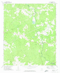 1972 Jewell1974 Print · USGSHancock and Warren counties are shown here in the early 1970s, as rural communities remained centered around the river and local churches. Researchers can locate family landmarks like Trinity Cem and Hickory Grove or trace the early paths of Georgia 16 near Jewell.2 unique versions available
 - 1972 Map of Mitchell, 1975 Print
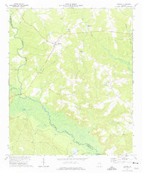 1972 Mitchell1975 Print · USGSGlascock County is documented in the early seventies, showing a rural landscape defined by the winding Ogeechee River and its creeks. Researchers can locate family landmarks such as Friendship Ch, Kents Millpond, and the settlement of Agricola.
 - 1972 Map of Devereux, 1975 Print
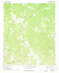 1972 Devereux1975 Print · USGSHancock and Baldwin counties in the early 1970s appear as a landscape of small rail-side settlements and rural parishes. Researchers can trace family history through numerous landmarks like Carrs Station, Hutchings Cem, and St Lukes Ch.
 - 1972 Map of White Plains, 1975 Print
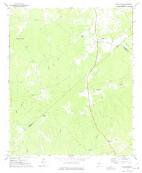 1972 White Plains1975 Print · USGSThe Georgia countryside at the junction of Greene, Hancock, and Taliaferro Counties is captured here in the early seventies. Genealogists can locate family landmarks such as Pierce Chapel, Mosquito Crossing, and Centennial Ch among the many creeks and hollows.2 unique versions available
 - 1972 Map of Lake Sinclair West, 1975 Print
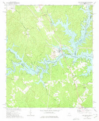 1972 Lake Sinclair West1975 Print · USGSThe confluence of the Oconee and Little Rivers in the early seventies shows a landscape transformed by power generation and lakeside growth. Researchers can locate rural landmarks like Rooty Creek Ch, the Central of Georgia rail line, and the John Milledge Academy.
 - 1972 Map of Lake Sinclair East, 1975 Print
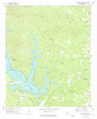 1972 Lake Sinclair East1975 Print · USGSThe shorelines of Lake Sinclair in the early seventies reveal a landscape transitioning between rural heritage and new industrial utility. Researchers can trace local landmarks like Island Creek Ch and Walls Cem or locate the Powerplant near Carter Island.2 unique versions available
 - 1972 Map of Sparta, 1975 Print
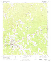 1972 Sparta1975 Print · USGSHancock County, Georgia, is captured here in the early seventies, centered on the historic crossroads of Sparta. Researchers can locate numerous local landmarks including the Beaver Lookout Tower, John Hancock Academy, and the rural community at Culverton.2 unique versions available
 - 1972 Map of Sparta NE, 1975 Print
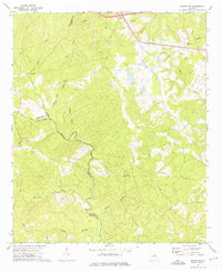 1972 Sparta NE1975 Print · USGSNortheast of Sparta in the early seventies, this rural landscape centers on the historic settlement of Powelton and the Ogeechee River. Genealogists and local historians can trace rural landmarks like New Hope Ch, Greenwood Ch, and the Barnett Lookout Tower.2 unique versions available
 - 1972 Map of Rockville, 1975 Print
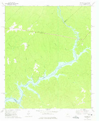 1972 Rockville1975 Print · USGSPutnam County's rural character is on full display in the early seventies as the waters of Lake Sinclair reach into the wooded hills. Genealogists can trace family roots through several local landmarks like St Pauls Ch, Jenkins Grove Chapel, and the Rockville settlement.2 unique versions available
 - 1972 Map of Friendship, 1975 Print
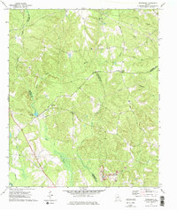 1972 Friendship1975 Print · USGSMiddle Georgia's rural character is preserved here in the early seventies, where the settlement of Friendship sits near a complex web of county boundaries. Researchers can trace rural lineages through local landmarks like Nebo Ch, Harmony Ch, and the old Indian Trail Road.2 unique versions available
 - 1981 Map of Milledgeville
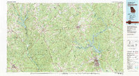 1981 Milledgeville1981 Print · USGSMiddle Georgia in the early eighties shows a landscape shaped by major reservoirs and deep forests. Genealogists and historians can trace the rail networks of the Southern and Central of Georgia through towns like Monticello and Eatonton.2 unique versions available
 - 1981 Map of Thomson, 1982 Print
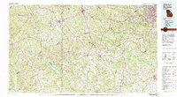 1981 Thomson1982 Print · USGSEast Georgia in the early eighties shows a transition from the urban fringes of Augusta to the deep river valleys of the Savannah River and Ogeechee River. Genealogists and historians can trace rail-side communities like Boneville, Camak, and Mesena along the historic Georgia railroad line.
 - 1988 Map of Athens
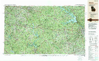 1988 Athens1988 Print · USGSThe Georgia Piedmont and South Carolina borderlands appear in the late eighties as a landscape of vast reservoirs and growing towns. Researchers can trace the legacy of the Georgia RR connecting Athens and Augusta, or locate landmarks within Oconee National Forest.
Showing maps 1-25 of 110
Top cities of Hancock County
Frequently asked questions
- What are the different types of historical maps available for Hancock County?
- What is the oldest map of Hancock County?
- Where can I purchase historical maps of Hancock County for my home or office?
- Where can I download high-res historical maps of Hancock County?
- Are there historical topographic maps available for Hancock County?
- Is there historical aerial imagery available for Hancock County?
- Where are historical maps of Hancock County sourced from?