2020s Maps of Heard County, Georgia
Explore 25 historic maps of Heard County from the 2020s. These maps offer a rare glimpse into what life looked like during the 2020s — showing old roads, neighborhoods, homes, and landmarks that have changed or disappeared over time.
Whether you're researching your family's past, planning a metal detecting trip, or studying how Heard County's landscape evolved across the 2020s, these high-resolution maps are a powerful tool for exploring the history of this region.
- Focus on a specific era: All maps on this page are from the 2020s, giving you a focused view of this time period.
- See what’s changed: Compare century-old streets, trails, and buildings to today's modern landscape using overlays and satellite layers.
- Research with precision: Use these maps for genealogy, historical research, land use analysis, or educational projects.
- View, download, or print: Maps are fully viewable online in high resolution, and can be downloaded or printed for your own records.
Start exploring Heard County's history through authentic maps from the 2020s. This is your window into the past.
Heard County, GA maps
(25)- 2020 Map of Newnan SW, 2020 Print
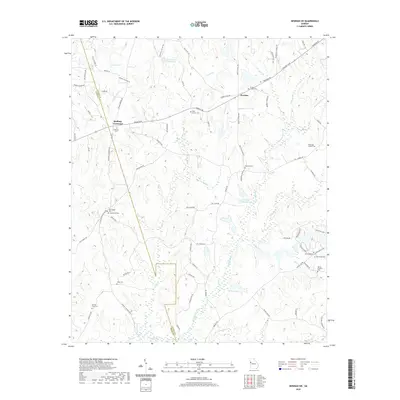 2020 Newnan SW2020 Print · USGSSouthwestern Coweta County is captured here in recent years, showing a landscape of established crossroads and numerous family burial grounds. Genealogists can trace local lineages through New Bethel Cem, Old Bethel Cem, and Darden- Crain Cem.
 - 2020 Map of Hogansville, 2020 Print
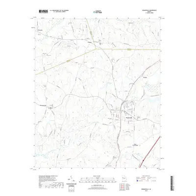 2020 Hogansville2020 Print · USGSThe Troup County borderlands are seen here in the modern era, where the towns of Hogansville and Corinth meet at the intersection of three counties. Researchers can trace numerous family-named landmarks and burial grounds, including Brown Cem, Reid Cem, and Wadley Chapel.
 - 2020 Map of Whitesburg, 2020 Print
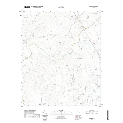 2020 Whitesburg2020 Print · USGSWhitesburg and the surrounding rural landscapes of Georgia come alive in this detailed record of the river country. Genealogists can trace family ties at Providence Church Cem, Springer Cem, and the old settlement of Handy.
 - 2020 Map of Glenn, 2020 Print
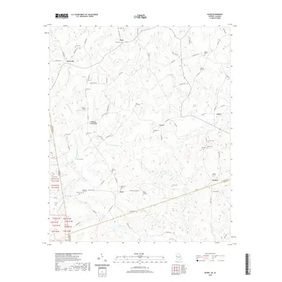 2020 Glenn2020 Print · USGSThe Georgia-Alabama borderlands at the start of the 2020s remain a landscape of quiet rural settlements and deeply rooted family sites. Researchers can locate numerous historic burial grounds like Union Grove Cem and Zachary Cem or trace the winding course of Whitewater Cr.
 - 2020 Map of Frolona, 2020 Print
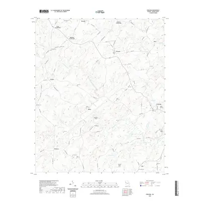 2020 Frolona2020 Print · USGSHeard County remains a land of creek-bottom roads and quiet crossroads in the early twenty-first century. Genealogists can locate numerous local burial sites like Macedonia Cem and Notes Cem tucked between the Hillabahatchee Creek and Stone Mill Mtn.
 - 2020 Map of Lowell, 2020 Print
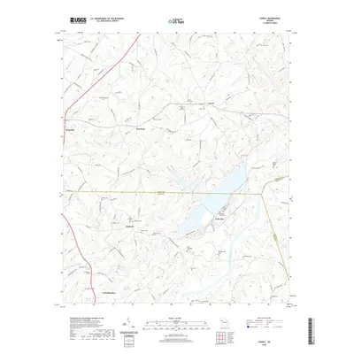 2020 Lowell2020 Print · USGSThe rural borderlands of Heard and Carroll counties come alive in this survey of the river country near Centralhatchee. Genealogists can trace a remarkable number of family burial sites, from Old Friendship Cem and Pentecost Cem to the namesake Lowell Cem.
 - 2020 Map of Hillcrest, 2020 Print
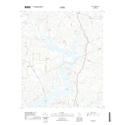 2020 Hillcrest2020 Print · USGSThe Troup and Heard County borderlands are shown here in the contemporary era, centered on the expansive waters of West Point Lake. Genealogists can trace a wealth of family burial sites including Old Shiloh Church Cem, Rains Cem, and Owensby Cem.
 - 2020 Map of Franklin, 2020 Print
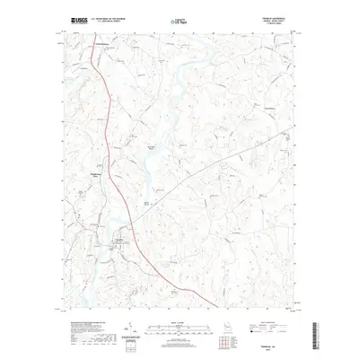 2020 Franklin2020 Print · USGSFranklin and the surrounding Heard County countryside appear in detail during the early twenty-first century as the Chattahoochee River winds past the county seat. Researchers can locate numerous family burial sites like Melson Cem and Vaughan Cem or trace the river to Bush Head Shoals.
 - 2020 Map of Roopville, 2020 Print
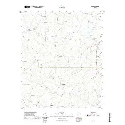 2020 Roopville2020 Print · USGSWestern Georgia's rural character is preserved in this study of the borderlands between Carroll and Heard counties. Researchers can trace ancestral locations through numerous burial sites like Laurel Hill Cem and Crews Cem, or locate the homesites near Roosterville and Ephesus.
 - 2020 Map of Graham, 2020 Print
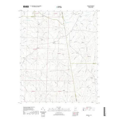 2020 Graham2020 Print · USGSThe Alabama-Georgia borderlands near Graham and Ephesus are captured here in a moment of quiet continuity. Genealogists can trace family footprints across dozens of sites like Old Shiloh Church Cem, Sardis Cem, and Muckfau Bridge.
 - 2020 Map of Roanoke East, 2020 Print
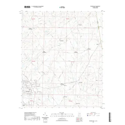 2020 Roanoke East2020 Print · USGSThe Alabama-Georgia borderlands near Roanoke are captured here in the early twenty-first century, showing a landscape defined by traditional crossroads and creek valleys. Genealogists can locate family landmarks like Old Salem Primitive Baptist Church Cem and the small settlements of Rock Mills and Bacon Level.
 - 2020 Map of Napoleon, 2020 Print
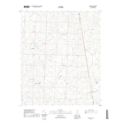 2020 Napoleon2020 Print · USGSRandolph County, Alabama, and Heard County, Georgia, meet along this rural borderland during the early twenty-first century. Researchers can trace family history through several sites like Big Springs Cemetery, Highway Cemetery, and the settlement of Napoleon.
 - 2024 Map of Graham, 2024 Print
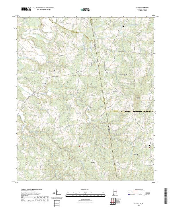 2024 Graham2024 Print · USGSThe Alabama-Georgia state line and the meeting of four counties define this borderland landscape in the 2020s. Researchers can trace rural community centers and family burial sites like Bethena United Methodist Church, Sardis Cem, and Blackjack Mountain.
 - 2024 Map of Roanoke East, 2024 Print
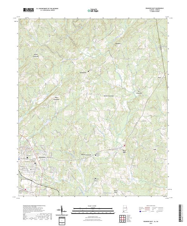 2024 Roanoke East2024 Print · USGSRandolph County, Alabama, is documented here in the modern era, showing the rural communities along the Georgia border. Genealogists can trace family connections through sites like Old Salem Primitive Baptist Church Cem and settlements such as Rock Mills and Bacon Level.
 - 2024 Map of Frolona, 2024 Print
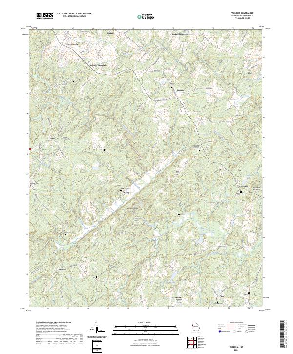 2024 Frolona2024 Print · USGSHeard County's rural landscape is captured here in the mid-2020s, revealing a terrain of crossroads and quiet creeks. Genealogists can trace family connections through numerous burial sites like Ridley Davis Cem, Noles Cem, and Salem United Methodist Church Cem.
 - 2024 Map of Lowell, 2024 Print
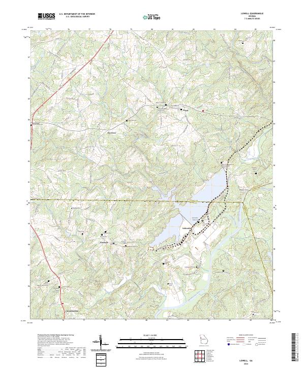 2024 Lowell2024 Print · USGSCarroll and Heard counties in western Georgia are shown at the intersection of rural tradition and modern continuity. Genealogists can trace family heritage through numerous burial sites like Lowell Community Cem and historic meeting places such as Bethel Primitive Baptist Church.
 - 2024 Map of Glenn, 2024 Print
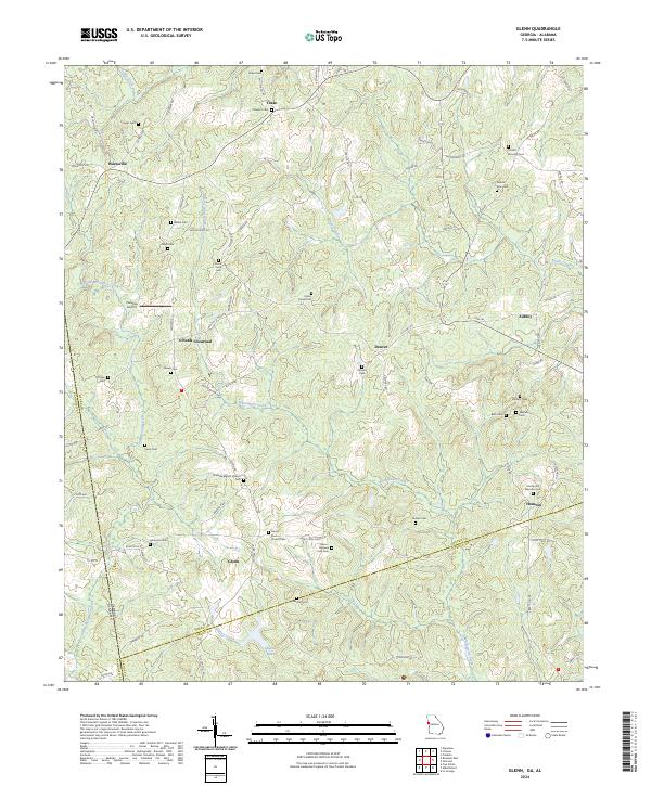 2024 Glenn2024 Print · USGSHeard County on the Georgia-Alabama border retains its traditional rural character in the early twenty-first century. Genealogists can trace family history through dozens of localized burial sites like Mount Carry Cem, Union Grove Cem, and Persons Cem.
 - 2024 Map of Newnan SW, 2024 Print
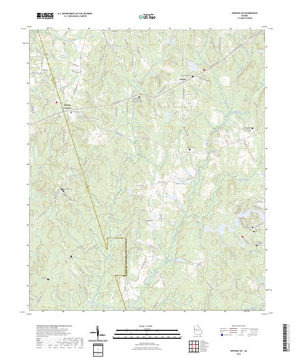 2024 Newnan SW2024 Print · USGSCoweta and Heard counties are shown here in the mid-2020s, revealing a landscape defined by its rural crossroads and historic congregations. Genealogists can trace family burial sites across Stallings Cem, New Bethel Cem, and the Mount Guillard Cem.
 - 2024 Map of Whitesburg, 2024 Print
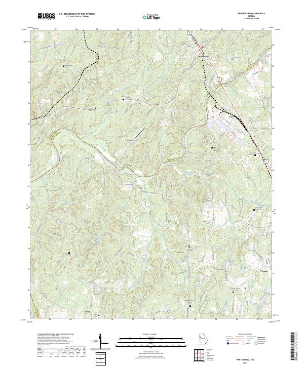 2024 Whitesburg2024 Print · USGSThe Chattahoochee River corridor in Carroll and Coweta counties shows a landscape of river-crossing history and rural settlements. Genealogists can locate family landmarks like Ephesus Cem, Rotherwood Cem, and the town of Whitesburg.
 - 2024 Map of Napoleon, 2024 Print
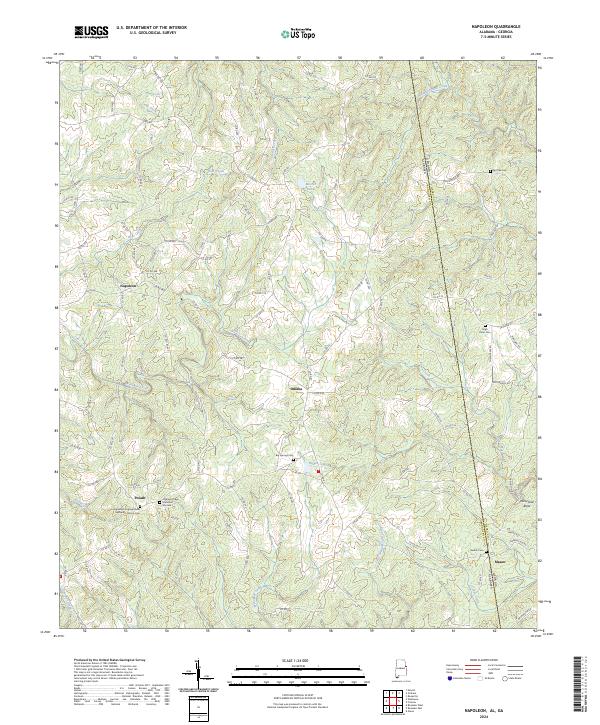 2024 Napoleon2024 Print · USGSEastern Alabama and the Georgia borderlands come into focus in this recent survey of the rural Randolph County landscape. Researchers can locate family burial sites at Big Springs Cem or trace the early paths through Napoleon, Omaha, and Potash.
 - 2024 Map of Franklin, 2024 Print
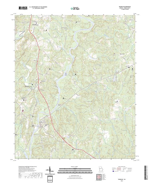 2024 Franklin2024 Print · USGSHeard County comes into focus in this contemporary survey of the riverlands surrounding the county seat. Genealogists and historians can trace numerous rural burial grounds such as Enon Grove Cem and Melson Cem, alongside river landmarks like Bush Head Shoals.
 - 2024 Map of Roopville, 2024 Print
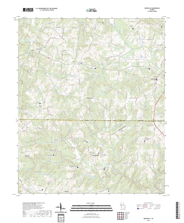 2024 Roopville2024 Print · USGSThe rolling West Georgia hills of Carroll and Heard Counties come alive in this recent survey. Genealogists and historians can trace family-named sites like Roopville City Cem, the Antioch Baptist Church, and the settlement of Roosterville.
 - 2024 Map of Hillcrest, 2024 Print
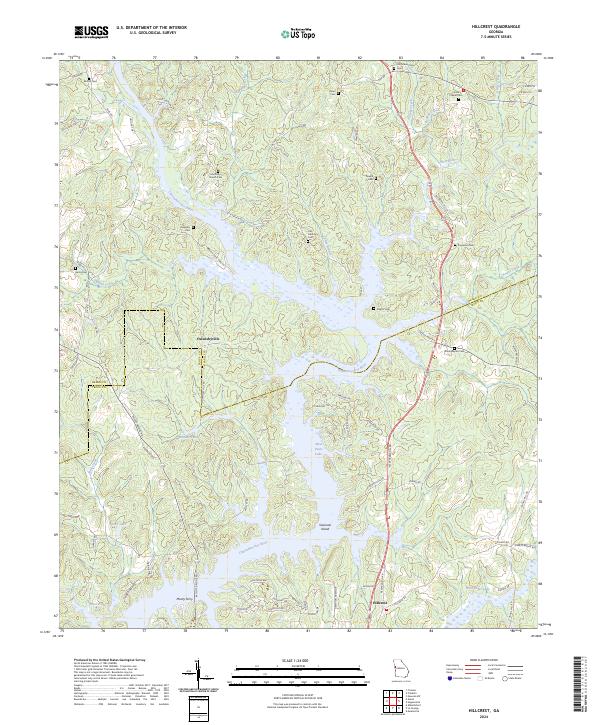 2024 Hillcrest2024 Print · USGSThe Chattahoochee River valley and the expansive shorelines of West Point Lake define this region on the Georgia border. Genealogists can trace family roots through numerous local landmarks like Owensbyville, Old Mount Olive Cem, and Mooty Ferry.
 - 2024 Map of Hogansville, 2024 Print
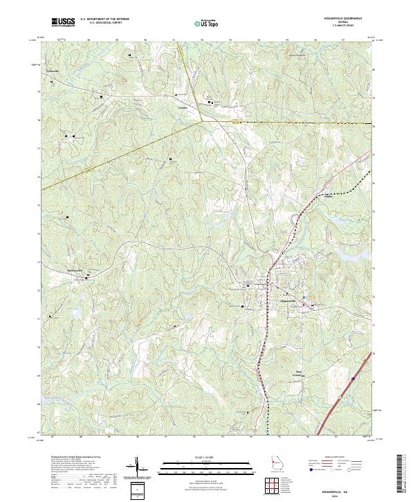 2024 Hogansville2024 Print · USGSTroup County and the surrounding rural landscape are detailed in this recent survey of the region's long-established crossroads and rail corridors. Genealogists can trace family connections at Myrtle Hill Cem, Word Cem, and the historic Saint Mary Methodist Church Cem.
 - 2026 Map of Graham, 2026 Print
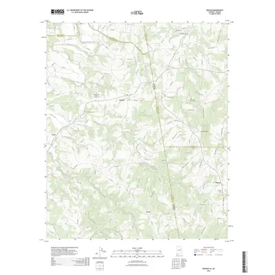 2026 Graham2026 Print · USGSCovers Heard County, including Ephesus, Sewell, and other nearby areas
End of results
Showing maps 1-25 of 25
Top cities of Heard County
Frequently asked questions
- What are the different types of historical maps available for Heard County?
- What is the oldest map of Heard County?
- Where can I purchase historical maps of Heard County for my home or office?
- Where can I download high-res historical maps of Heard County?
- Are there historical topographic maps available for Heard County?
- Is there historical aerial imagery available for Heard County?
- Where are historical maps of Heard County sourced from?