Old Maps of Heard County, Georgia for Academic Research
Study the evolution of Heard County with 81 high-resolution historic maps. Whether you're teaching, researching, or modeling changes in land use, these maps provide essential visual documentation of urban, environmental, and geographic change.
- Analyze long-term change: Track patterns in development, transportation, and natural features.
- Ideal for environmental or urban studies: Support academic projects with primary historical map data.
- Use in the classroom or lab: Educators and researchers rely on these maps to bring historical context to life.
These maps are a powerful tool for teaching, research, and visualizing how Heard County has changed over the decades.
Heard County, GA maps
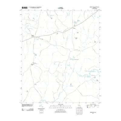
(81)- 1899 Map of Wedowee, 1958 Print
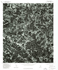
 1899 Wedowee1958 Print · USGSEastern Alabama and western Georgia are mapped here at the close of the nineteenth century, documenting the rural river-and-rail landscape. Researchers can trace historic crossings like Philpots Ferry and early industrial sites such as the Copper Mine.
 - 1902 Map of Wedowee
 1902 Wedowee1902 Print · USGSThe Alabama and Georgia state line bisects this turn-of-the-century landscape of river crossings and hill-country settlements. Genealogists can trace early homesteads and commerce at Philpots Ferry, the Copper Mine, or the town of Wedowee.3 unique versions available
 - 1953 Map of Atlanta, 1965 Print
 1953 Atlanta1965 Print · USGSThe growing Atlanta metro and the industrial corridors of Eastern Alabama are captured here during the mid-century transition. Researchers can trace the rail-to-road shift through hubs like Anniston and La Grange or locate sites within Fort McClellan.2 unique versions available
 - 1957 Map of Atlanta
 1957 Atlanta1957 Print · USGSAtlanta and the Alabama borderlands appear here in the mid-fifties, capturing the region's post-war suburban and industrial transition. Trace the development of early transport hubs and military sites like Fort McPherson, Anniston, and the Kennesaw Mountain National Battlefield Park.
 - 1958 Map of Atlanta
 1958 Atlanta1958 Print · USGSMid-century Georgia and Alabama are shown in this regional study of the corridor between the Chattahoochee River and the Appalachian foothills. Local historians can trace the development of suburban Atlanta alongside vital landmarks like Stone Mountain, Dobbins AFB, and the Seaboard Air Line rail routes.
 - 1964 Map of Hogansville, 1965 Print
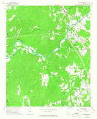
 1964 Hogansville1965 Print · USGSHogansville and its surrounding crossroads are captured here in the mid-1960s, showing a landscape defined by the Atlanta and West Point rail line. Genealogists can trace family landmarks like Myrtle Hill Cemetery and old rural meeting places such as Harmonia Ch or Corinth.3 unique versions available
 - 1964 Map of Glenn, 1966 Print
 1964 Glenn1966 Print · USGSThe Georgia-Alabama borderlands come alive in the mid-1960s, showing a rural landscape of crossroads settlements and small country parishes. Family historians can trace ancestral sites like Pleasant Grove Ch, Liberty Hill Cem, and the old community at Denver.2 unique versions available
 - 1964 Map of Hillcrest, 1966 Print
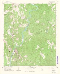
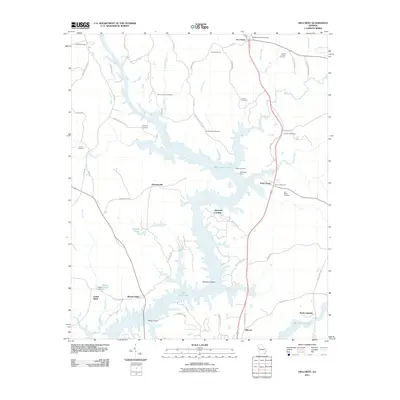
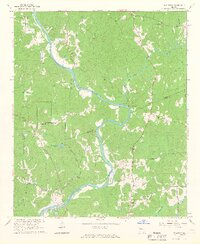 1964 Hillcrest1966 Print · USGSHeard and Troup counties come alive in the mid-sixties, showing a landscape of river-bend settlements and old rural crossings. Researchers can trace family history through sites like the Sanitarium at Hillcrest, the Old Philpot Ferry, and country churches like Shiloh Ch.3 unique versions available
 - 1964 Map of Roopville, 1966 Print
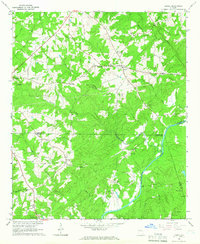
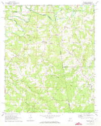
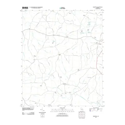
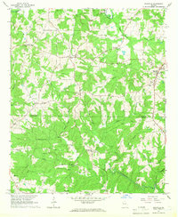 1964 Roopville1966 Print · USGSIn the mid-1960s, the borderlands between Carroll and Heard County remained a tapestry of small church-centered communities and winding creeks. Local historians can trace the foundations of Roopville and Ephesus, or locate landmarks like Unity Cem Ch and the Lookout Tower.2 unique versions available
 - 1964 Map of Franklin, 1966 Print
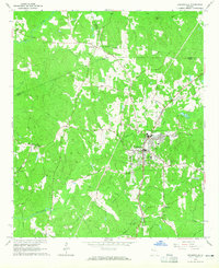
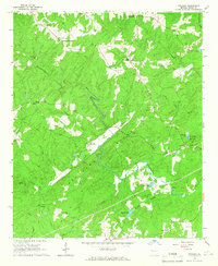
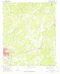
 1964 Franklin1966 Print · USGSHeard County life in the mid-sixties centered on the river and rural crossroad communities like Centralhatchee and Franklin. Researchers can trace family sites from Wesley Chapel to numerous local burial grounds including Simms Cem and Ebenezer Cem.3 unique versions available
 - 1964 Map of Lowell, 1966 Print
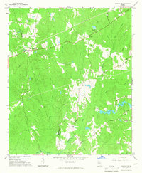
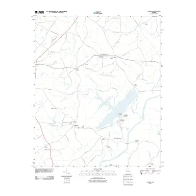
 1964 Lowell1966 Print · USGSThe rural landscapes of Carroll and Heard Counties appear here in the mid-1960s, defined by tight-knit communities and winding creeks. Genealogists can trace family lines through several local burial sites like Pentecost Cem and Hollingsworth Cem.2 unique versions available
 - 1964 Map of Frolona, 1966 Print
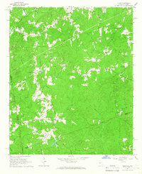
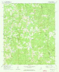
 1964 Frolona1966 Print · USGSHeard County in the mid-1960s is defined by its ridge-and-creek topography and a network of historic crossroads communities. Local historians and genealogists can trace family landmarks like Mahalley Crossroads, Olive Branch Ch, and the Hearn Cem burial grounds.2 unique versions available
 - 1965 Map of Newnan SW, 1966 Print
 1965 Newnan SW1966 Print · USGSCoweta and Heard Counties are captured here in the mid-1960s, showing a rural landscape defined by creek drainages and small crossroads settlements. Genealogists can trace family roots through numerous landmarks such as Emory Chapel, St Smyrna Ch, and Stallings Crossroads.2 unique versions available
 - 1965 Map of Whitesburg, 1966 Print
 1965 Whitesburg1966 Print · USGSThe Chattahoochee River corridor in the mid-1960s reveals a rural landscape transitioning toward modern infrastructure. Genealogists can trace family roots through landmarks like Rotherwood Ch, the Springer Cem, and schools such as Western High Sch.3 unique versions available
 - 1969 Map of Roanoke East, 1973 Print
 1969 Roanoke East1973 Print · USGSRandolph County's rural landscape is captured in the late sixties, showing a network of crossroads settlements and active rail lines near the Georgia border. Genealogists and historians can trace family roots through Randolph Memory Gardens, Bacon Level, and the many rural schools like Handley High Sch.2 unique versions available
 - 1969 Map of Napoleon, 1973 Print
 1969 Napoleon1973 Print · USGSThe Alabama-Georgia borderlands come into focus in the late sixties, centered on the Napoleon and Omaha communities. Researchers can trace rural lineages through numerous country churches like Mount Carmel Ch and the crossroads at Potash.
 - 1969 Map of Graham, 1973 Print
 1969 Graham1973 Print · USGSRandolph and Cleburne Counties are captured here in the late sixties as traditional agricultural communities along the Georgia border. Researchers can trace family roots at numerous rural sites like Graham, the Old Shiloh Church, and Sewell.3 unique versions available
 - 1975 Map of Graham, 1977 Print
 1975 Graham1977 Print · USGSThe Alabama and Georgia borderlands appear in striking photographic detail in the mid-seventies, showing the rural landscape surrounding the Graham community. Genealogists and local historians can trace exact farmstead locations near Ephesus and the banks of the Little Tallapoosa River.
 - 1978 Map of La Grange, 1980 Print
 1978 La Grange1980 Print · USGSThe Alabama-Georgia borderlands are captured here in the late seventies, just as the newly formed West Point Lake reshaped the eastern landscape. Local historians can trace the Seaboard Coast Line rail corridor through hubs like Roanoke, Ashland, and Lineville.
 - 1979 Map of Griffin, 1980 Print
 1979 Griffin1980 Print · USGSWest-central Georgia at the close of the seventies reveals a landscape of historic rail towns and growing suburbs between the major river systems. Trace the rail lines and early road networks connecting Griffin, Peachtree City, and Newnan, or locate smaller settlements like Senoia and Experiment.3 unique versions available
 - 2011 Map of Lowell, 2011 Print
 2011 Lowell2011 Print · USGSCovers Heard County, including Centralhatchee, Roopville, and other nearby areas
 - 2011 Map of Hillcrest, 2011 Print
 2011 Hillcrest2011 Print · USGSCovers Heard County, including Hillcrest, Indian Bend, and other nearby areas
 - 2011 Map of Roopville, 2011 Print
 2011 Roopville2011 Print · USGSCovers Heard County, including Ephesus, Roopville, and other nearby areas
 - 2011 Map of Frolona, 2011 Print
 2011 Frolona2011 Print · USGSCovers Heard County, including Hyatt, Ridley, and other nearby areas
 - 2011 Map of Newnan SW, 2011 Print
 2011 Newnan SW2011 Print · USGSCovers Heard County, including Stallings Crossroad, Wilsons Store, and other nearby areas
Showing maps 1-25 of 81
Top cities of Heard County
Frequently asked questions
- What are the different types of historical maps available for Heard County?
- What is the oldest map of Heard County?
- Where can I purchase historical maps of Heard County for my home or office?
- Where can I download high-res historical maps of Heard County?
- Are there historical topographic maps available for Heard County?
- Is there historical aerial imagery available for Heard County?
- Where are historical maps of Heard County sourced from?