2020s Maps of Perry, Georgia
Explore 12 historic maps of Perry from the 2020s. These maps offer a rare glimpse into what life looked like during the 2020s — showing old roads, neighborhoods, homes, and landmarks that have changed or disappeared over time.
Whether you're researching your family's past, planning a metal detecting trip, or studying how Perry's landscape evolved across the 2020s, these high-resolution maps are a powerful tool for exploring the history of this region.
- Focus on a specific era: All maps on this page are from the 2020s, giving you a focused view of this time period.
- See what’s changed: Compare century-old streets, trails, and buildings to today's modern landscape using overlays and satellite layers.
- Research with precision: Use these maps for genealogy, historical research, land use analysis, or educational projects.
- View, download, or print: Maps are fully viewable online in high resolution, and can be downloaded or printed for your own records.
Start exploring Perry's history through authentic maps from the 2020s. This is your window into the past.
Perry, GA maps
(12)- 2020 Map of Perry East, 2020 Print
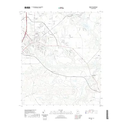 2020 Perry East2020 Print · USGSCovers Perry, including Wildwood Estates, Clinchfield, and other nearby areas
 - 2020 Map of Fort Valley East, 2020 Print
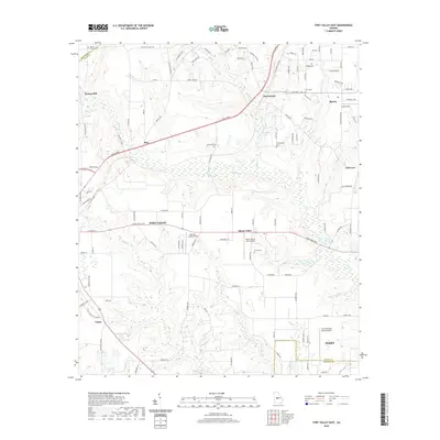 2020 Fort Valley East2020 Print · USGSCovers Perry, including Fort Valley, Byron, and other nearby areas
 - 2020 Map of Warner Robins SW, 2020 Print
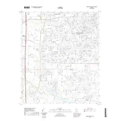 2020 Warner Robins SW2020 Print · USGSCovers Perry, including Warner Robins, Fort Valley, and other nearby areas
 - 2020 Map of Warner Robins SE, 2020 Print
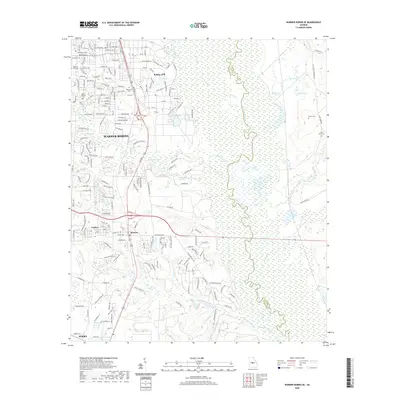 2020 Warner Robins SE2020 Print · USGSCovers Perry, including Warner Robins, Robins Air Force Base, and other nearby areas
 - 2020 Map of Perry West, 2020 Print
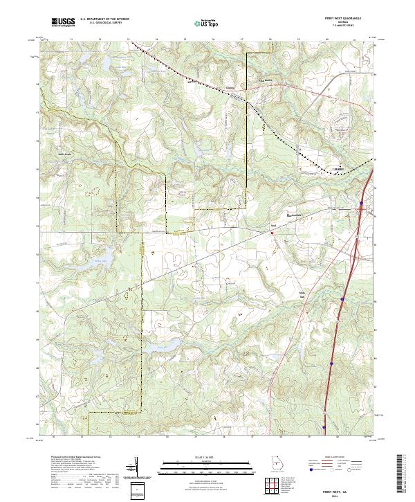
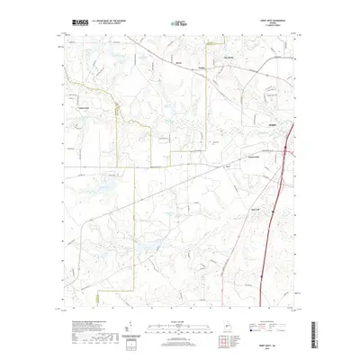 2020 Perry West2020 Print · USGSCovers Perry, including Myrtle, Saint Louis, and other nearby areas
 - 2020 Map of Hayneville, 2020 Print
 2020 Hayneville2020 Print · USGSCovers Perry, including Sandbed, Willow Run, and other nearby areas
 - 2024 Map of Fort Valley East, 2024 Print
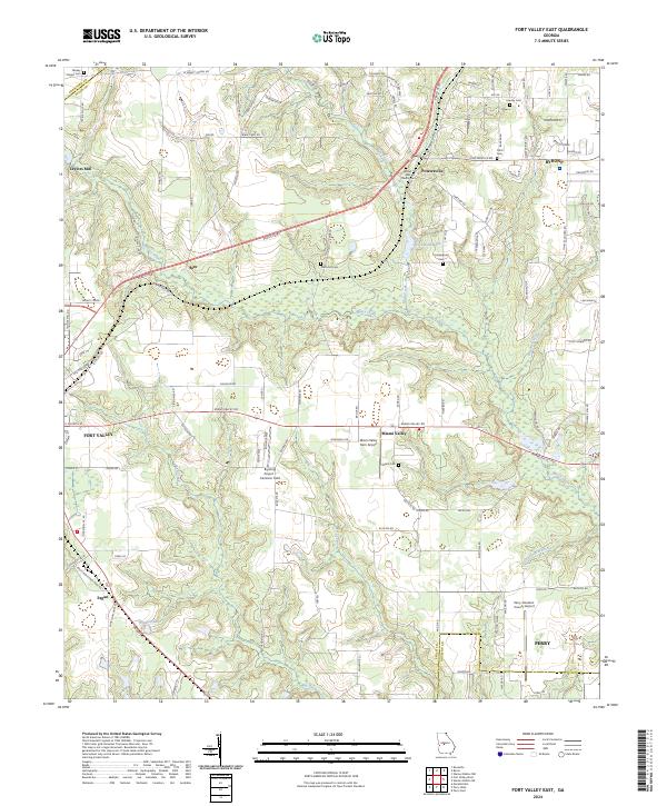 2024 Fort Valley East2024 Print · USGSThe corridor between Fort Valley and Byron comes alive in this current-era survey of central Georgia. Genealogists and researchers can trace local family history through Bethel AME Church and several small cemeteries like Lisenby Cem and Miami Cem.
 - 2024 Map of Perry West, 2024 Print
 2024 Perry West2024 Print · USGSHouston and Peach County lands are shown here in the 2020s, revealing a landscape of historic settlements and rural lakes west of the city. Genealogists and local historians can trace the areas around Myrtle, Saint Louis, and the waters of Louis Newberry Lake.
 - 2024 Map of Hayneville, 2024 Print
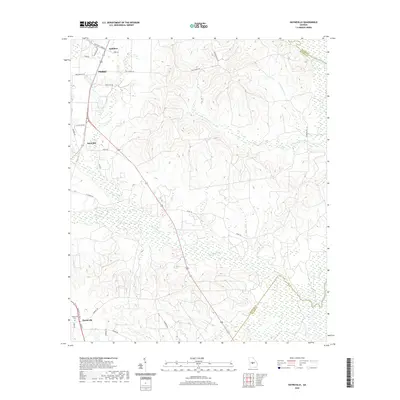
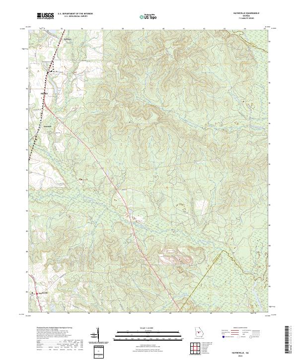 2024 Hayneville2024 Print · USGSHouston County, Georgia, is documented here in the early twenty-first century as a landscape of rural settlements and winding river boundaries. Local historians can trace family sites near Hayneville and the Hayneville Cem or follow the path of Big Indian Creek toward the Ocmulgee River.
 - 2024 Map of Warner Robins SE, 2024 Print
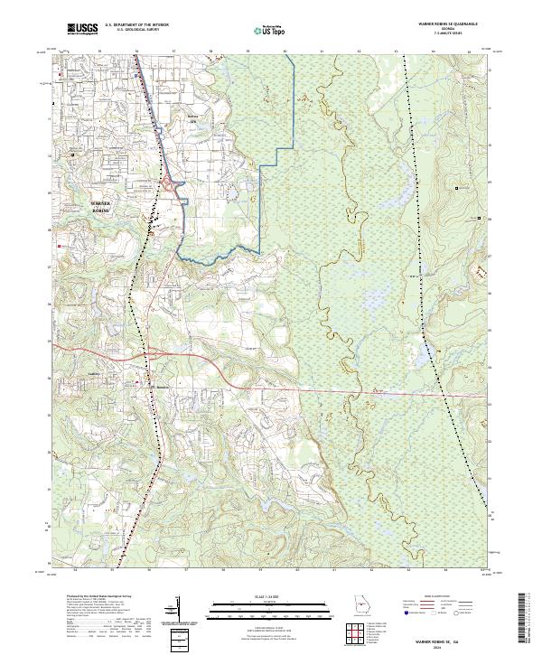 2024 Warner Robins SE2024 Print · USGSWarner Robins and the surrounding Houston County countryside are shown here in the 2020s, highlighting the integration of military and civilian landscapes. Genealogists and local historians can locate Smith Cem, Laurel Grove Cem, and trace the paths of Thompson Mill Creek toward the Ocmulgee River.
 - 2024 Map of Warner Robins SW, 2024 Print
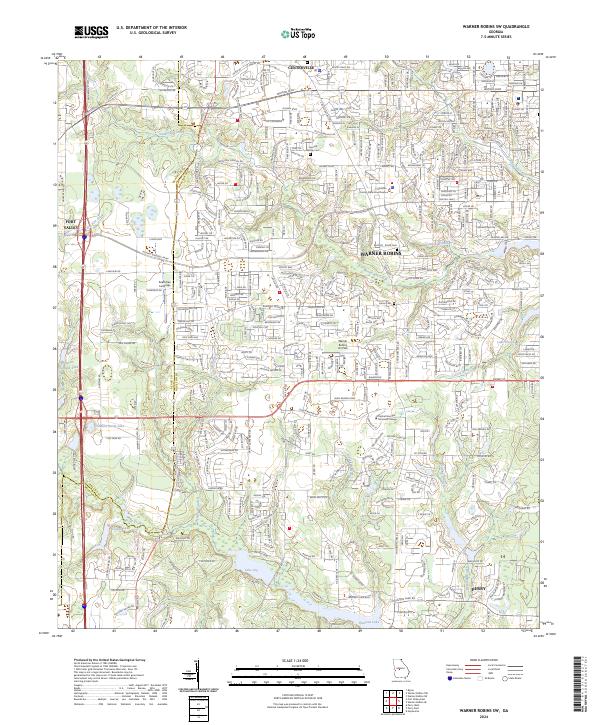 2024 Warner Robins SW2024 Print · USGSHouston County, Georgia, is captured in this contemporary survey as a bustling hub of civic and educational life. Researchers can trace local heritage at the Leverett Family Cem or locate regional landmarks like the Houston County State Courthouse and Lake Joy.
 - 2024 Map of Perry East, 2024 Print
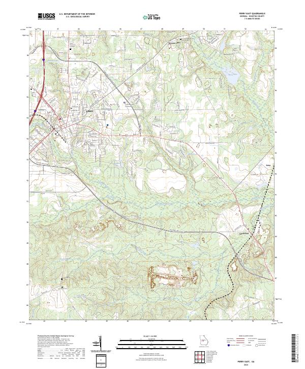 2024 Perry East2024 Print · USGSPerry and the surrounding Georgia countryside are shown in detail during the late twenty-teens. Genealogists can trace family sites at Evergreen Cem, Laidler Cem, and the Houston Lake Baptist Church Cem.
End of results
Showing maps 1-12 of 12
Top cities near Perry
- Macon historical maps
- Warner Robins historical maps
- Fort Valley historical maps
- Centerville historical maps
- Byron historical maps
- Hawkinsville historical maps
See more
Top neighborhoods of Perry
- Neal historical maps
- Beaver Creek historical maps
- Brookewater historical maps
- Greystone historical maps
- New Haven historical maps
- Bonners Camp historical maps
See more
Frequently asked questions
- What are the different types of historical maps available for Perry?
- What is the oldest map of Perry?
- Where can I purchase historical maps of Perry for my home or office?
- Where can I download high-res historical maps of Perry?
- Are there historical topographic maps available for Perry?
- Is there historical aerial imagery available for Perry?
- Where are historical maps of Perry sourced from?