2000s (21st Century) Maps of Perry, Georgia
Explore 30 historic maps of Perry from the 2000s (21st Century). These maps offer a rare glimpse into what life looked like during the 2000s — showing old roads, neighborhoods, homes, and landmarks that have changed or disappeared over time.
Whether you're researching your family's past, planning a metal detecting trip, or studying how Perry's landscape evolved across the 2000s, these high-resolution maps are a powerful tool for exploring the history of this region.
- Focus on a specific era: All maps on this page are from the 2000s, giving you a focused view of this time period.
- See what’s changed: Compare century-old streets, trails, and buildings to today's modern landscape using overlays and satellite layers.
- Research with precision: Use these maps for genealogy, historical research, land use analysis, or educational projects.
- View, download, or print: Maps are fully viewable online in high resolution, and can be downloaded or printed for your own records.
Start exploring Perry's history through authentic maps from the 2000s. This is your window into the past.
Perry, GA maps
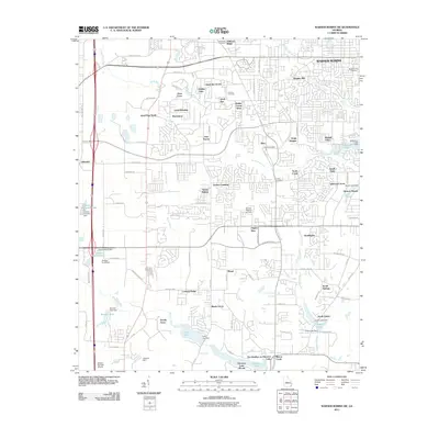
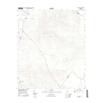
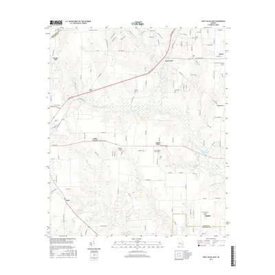
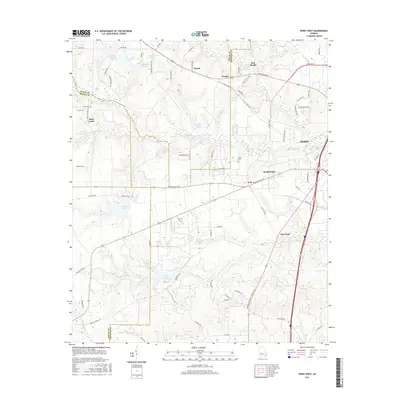
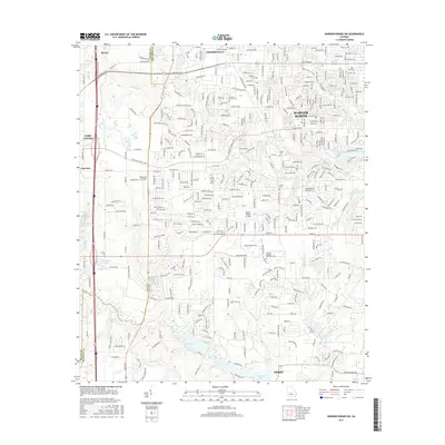
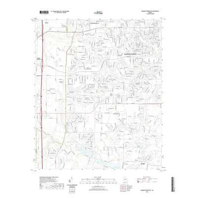
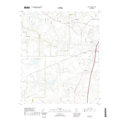
(30)- 2011 Map of Perry West, 2011 Print
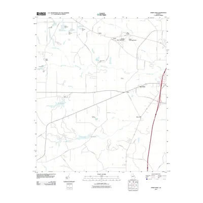 2011 Perry West2011 Print · USGSCovers Perry, including Myrtle, Saint Louis, and other nearby areas
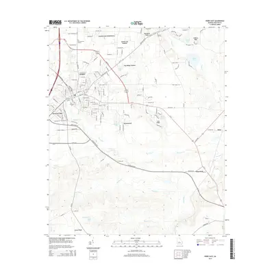
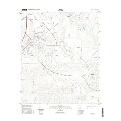
 - 2011 Map of Hayneville, 2011 Print
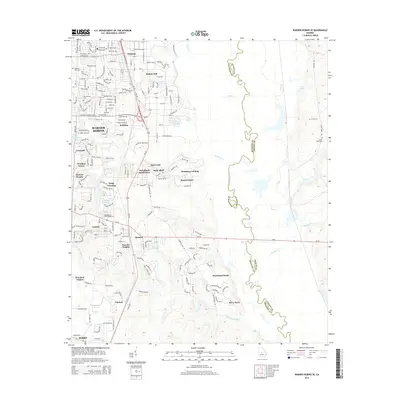
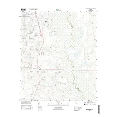
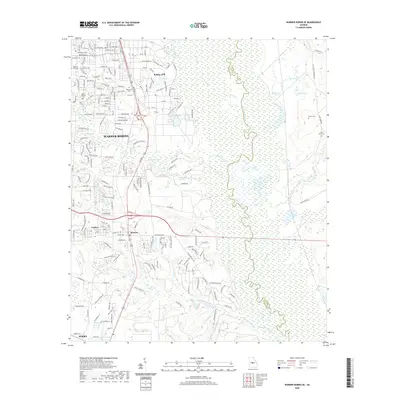
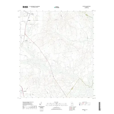
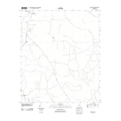 2011 Hayneville2011 Print · USGSCovers Perry, including Sandbed, Willow Run, and other nearby areas
 - 2011 Map of Perry East, 2011 Print
 2011 Perry East2011 Print · USGSCovers Perry, including Wildwood Estates, Clinchfield, and other nearby areas
 - 2011 Map of Warner Robins SE, 2011 Print
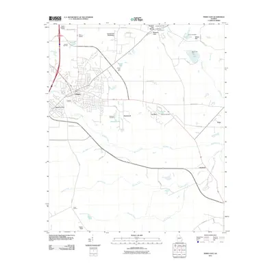
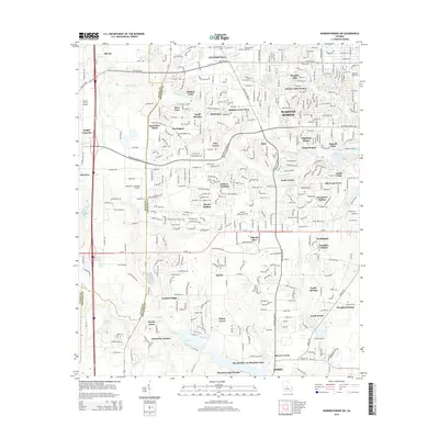
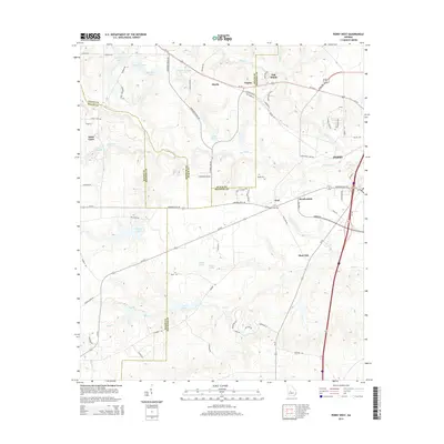
 2011 Warner Robins SE2011 Print · USGSCovers Perry, including Warner Robins, Robins Air Force Base, and other nearby areas
 - 2011 Map of Warner Robins SW, 2011 Print
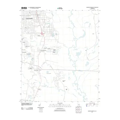
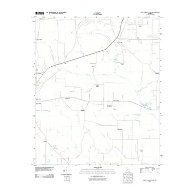
 2011 Warner Robins SW2011 Print · USGSCovers Perry, including Warner Robins, Fort Valley, and other nearby areas
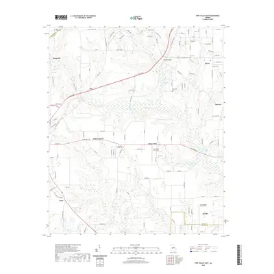
 - 2011 Map of Fort Valley East, 2011 Print
 2011 Fort Valley East2011 Print · USGSCovers Perry, including Fort Valley, Byron, and other nearby areas
 - 2014 Map of Warner Robins SE, 2014 Print
 2014 Warner Robins SE2014 Print · USGSCovers Perry, including Warner Robins, Robins Air Force Base, and other nearby areas
 - 2014 Map of Warner Robins SW, 2014 Print
 2014 Warner Robins SW2014 Print · USGSCovers Perry, including Warner Robins, Fort Valley, and other nearby areas
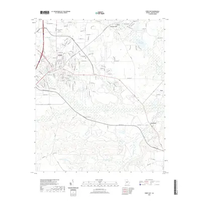
 - 2014 Map of Hayneville, 2014 Print
 2014 Hayneville2014 Print · USGSCovers Perry, including Sandbed, Willow Run, and other nearby areas
 - 2014 Map of Perry East, 2014 Print
 2014 Perry East2014 Print · USGSCovers Perry, including Wildwood Estates, Clinchfield, and other nearby areas
 - 2014 Map of Fort Valley East, 2014 Print
 2014 Fort Valley East2014 Print · USGSCovers Perry, including Fort Valley, Byron, and other nearby areas
 - 2014 Map of Perry West, 2014 Print
 2014 Perry West2014 Print · USGSCovers Perry, including Myrtle, Saint Louis, and other nearby areas
 - 2017 Map of Fort Valley East, 2017 Print
 2017 Fort Valley East2017 Print · USGSCovers Perry, including Fort Valley, Byron, and other nearby areas
 - 2017 Map of Warner Robins SE, 2017 Print
 2017 Warner Robins SE2017 Print · USGSCovers Perry, including Warner Robins, Robins Air Force Base, and other nearby areas
 - 2017 Map of Hayneville, 2017 Print
 2017 Hayneville2017 Print · USGSCovers Perry, including Sandbed, Willow Run, and other nearby areas
 - 2017 Map of Perry West, 2017 Print
 2017 Perry West2017 Print · USGSCovers Perry, including Myrtle, Saint Louis, and other nearby areas
 - 2017 Map of Warner Robins SW, 2017 Print
 2017 Warner Robins SW2017 Print · USGSCovers Perry, including Warner Robins, Fort Valley, and other nearby areas
 - 2017 Map of Perry East, 2017 Print
 2017 Perry East2017 Print · USGSCovers Perry, including Wildwood Estates, Clinchfield, and other nearby areas
 - 2020 Map of Perry East, 2020 Print
 2020 Perry East2020 Print · USGSCovers Perry, including Wildwood Estates, Clinchfield, and other nearby areas
 - 2020 Map of Fort Valley East, 2020 Print
 2020 Fort Valley East2020 Print · USGSCovers Perry, including Fort Valley, Byron, and other nearby areas
 - 2020 Map of Warner Robins SW, 2020 Print
 2020 Warner Robins SW2020 Print · USGSCovers Perry, including Warner Robins, Fort Valley, and other nearby areas
 - 2020 Map of Warner Robins SE, 2020 Print
 2020 Warner Robins SE2020 Print · USGSCovers Perry, including Warner Robins, Robins Air Force Base, and other nearby areas
 - 2020 Map of Perry West, 2020 Print
 2020 Perry West2020 Print · USGSCovers Perry, including Myrtle, Saint Louis, and other nearby areas
 - 2020 Map of Hayneville, 2020 Print
 2020 Hayneville2020 Print · USGSCovers Perry, including Sandbed, Willow Run, and other nearby areas
 - 2024 Map of Fort Valley East, 2024 Print
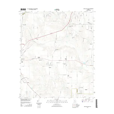
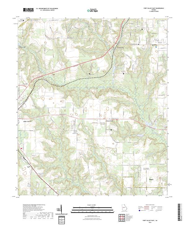 2024 Fort Valley East2024 Print · USGSThe corridor between Fort Valley and Byron comes alive in this current-era survey of central Georgia. Genealogists and researchers can trace local family history through Bethel AME Church and several small cemeteries like Lisenby Cem and Miami Cem.
Showing maps 1-25 of 30
Top cities near Perry
- Macon historical maps
- Warner Robins historical maps
- Fort Valley historical maps
- Centerville historical maps
- Byron historical maps
- Hawkinsville historical maps
See more
Top neighborhoods of Perry
- Neal historical maps
- Beaver Creek historical maps
- Brookewater historical maps
- Greystone historical maps
- New Haven historical maps
- Bonners Camp historical maps
See more
Frequently asked questions
- What are the different types of historical maps available for Perry?
- What is the oldest map of Perry?
- Where can I purchase historical maps of Perry for my home or office?
- Where can I download high-res historical maps of Perry?
- Are there historical topographic maps available for Perry?
- Is there historical aerial imagery available for Perry?
- Where are historical maps of Perry sourced from?