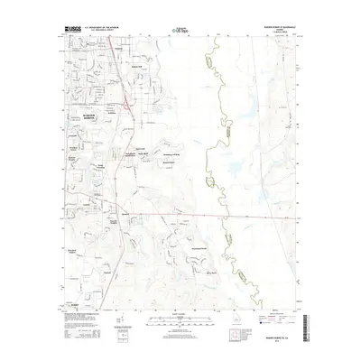
2014 Map of Warner Robins SE
USGS Topo · Published 2014About this map
The massive footprint of Robins AFB dominates the northern reaches of this Houston County landscape, serving as a primary anchor for the surrounding growth of Warner Robins. This 2014 survey reveals a suburban environment expanding into traditional agricultural and wooded lands, where neighborhoods like Stathams Landing and Waterford South sit amidst an intricate network of waterways. The meandering Ocmulgee River forms the eastern boundary between Houston and Twiggs Counties, surrounded by bottomland terrain marked by Savage Cr and Flat Cr. Genealogists and local historians can locate several community burial grounds, including Magnolia Park Cem and Laurel Grove Cem, which predate the modern residential developments. Further south, the map details the established community of Bonaire and smaller named locales such as Claybed and Lashley, illustrating the transition from military-industrial centers to more quiet rural-residential outposts.
Find a feature on this map
203 named features on this map. Tap any name to fly to it.
Don’t see what you’re looking for? This feature index may not catch every label — zoom into the map to look around manually.
Map Details
Editions of this 2014 Warner Robins SE Map
This is the sole edition of this map. No revisions or reprints were ever made.
Other maps of this area

1956 · Cochran
USGS Topo · 1:62,500

1956 · Perry
USGS Topo · 1:62,500

1956 · Warner Robins
USGS Topo · 1:62,500

1956 · Jeffersonville
USGS Topo · 1:62,500

1957 · Macon
USGS Topo · 1:250,000

1958 · Macon
USGS Topo · 1:250,000

1964 · Macon
USGS Topo · 1:250,000

1973 · Hayneville
USGS Topo · 1:24,000

1973 · Warner Robins NE
USGS Topo · 1:24,000

1973 · Tarversville
USGS Topo · 1:24,000