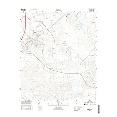
2017 Map of Perry East
USGS Topo · Published 2017About this map
Perry serves as the hub of this Houston County landscape, where the street grid of the city center meets an expanding network of suburban thoroughfares and industrial sites. To the southeast, the settlement of Clinchfield and the rail-adjacent site of Pabst reflect the region's industrial footprint, while the sprawling waters of Houston Lake and Hackney Lake dominate the northern drainage. For those researching family history, the map provides precise locations for several burial grounds including Evergreen Cem, Ladies Cem, and the Houston Lake Baptist Church Cem. The topography is defined by a dense network of waterways like Big Indian Cr and Okeetuck Cr, which create a complex drainage pattern of wetlands and creeks flowing through the area's many named ponds and lakes.
Find a feature on this map
131 named features on this map. Tap any name to fly to it.
Don’t see what you’re looking for? This feature index may not catch every label — zoom into the map to look around manually.
Map Details
Editions of this 2017 Perry East Map
This is the sole edition of this map. No revisions or reprints were ever made.
Other maps of this area

1956 · Fort Valley
USGS Topo · 1:62,500

1956 · Perry
USGS Topo · 1:62,500

1956 · Warner Robins
USGS Topo · 1:62,500

1957 · Macon
USGS Topo · 1:250,000

1958 · Macon
USGS Topo · 1:250,000

1964 · Macon
USGS Topo · 1:250,000

1971 · Henderson
USGS Topo · 1:24,000

1972 · Perry West
USGS Topo · 1:24,000

1973 · Hayneville
USGS Topo · 1:24,000

1973 · Klondike
USGS Topo · 1:24,000