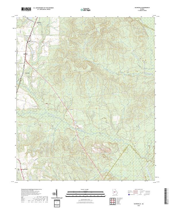
2024 Map of Hayneville
USGS Topo · Published 2024About this map
Hayneville sits at the southwestern edge of this landscape, where local history is preserved at the Hayneville Cem. The terrain is defined by a dense network of waterways draining toward the Ocmulgee River, which forms a winding boundary at the northeastern corner. Significant creeks such as Big Indian Creek and Big Grocery Creek carve through the woodland, creating a complex series of ridges and hollows that have influenced the placement of rural roads and small settlements like Kathleen and the eastern outskirts of Perry.
Find a feature on this map
33 named features on this map. Tap any name to fly to it.
Don’t see what you’re looking for? This feature index may not catch every label — zoom into the map to look around manually.
Map Details
Editions of this 2024 Hayneville Map
This is the sole edition of this map. No revisions or reprints were ever made.
Historical Maps of Perry Through Time
12 maps found
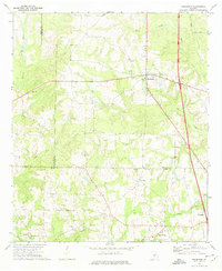
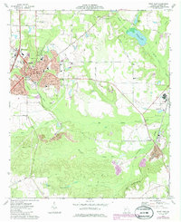
1971 Henderson
Houston County, GA
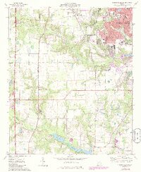
1972 Perry West
Houston County, GA
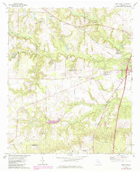
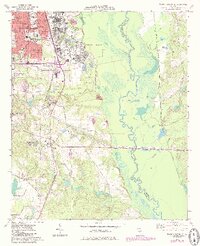
1973 Hayneville
Houston County, GA
1973 Perry East
Houston County, GA
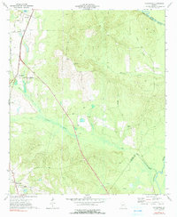
1973 Warner Robins SE
Houston County, GA
1973 Warner Robins SW
Houston County, GA
2024 Hayneville
Houston County, GA
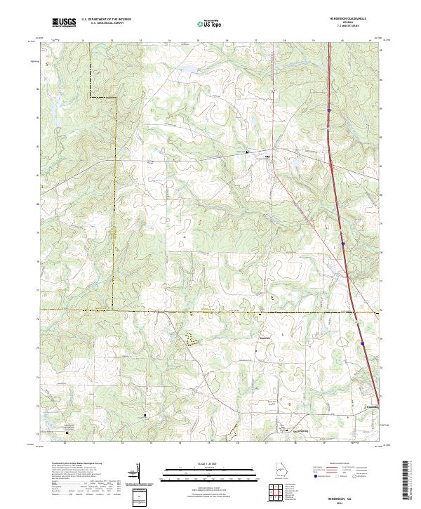
2024 Henderson
Houston County, GA
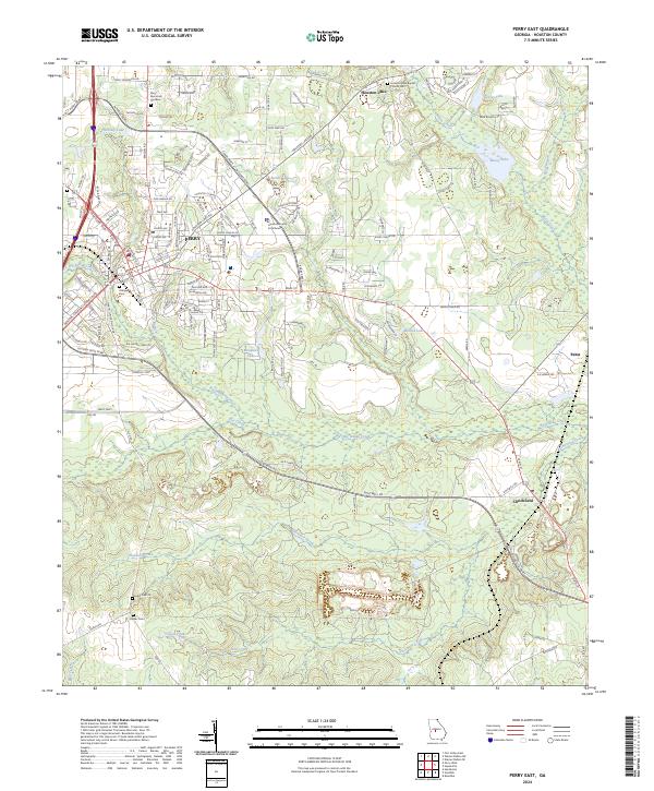
2024 Perry East
Houston County, GA
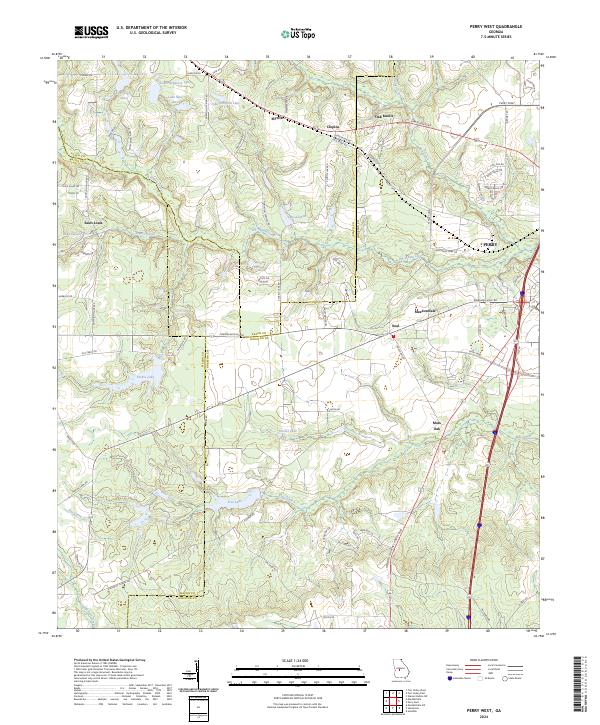
2024 Perry West
Houston County, GA
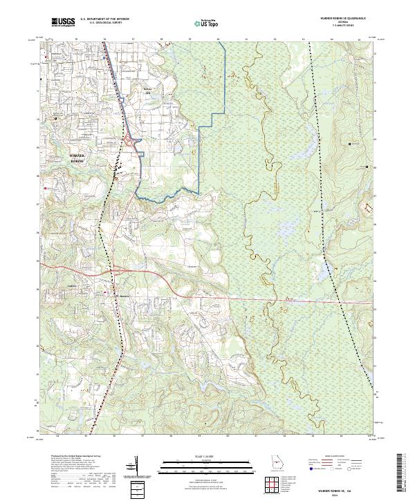
2024 Warner Robins SE
Houston County, GA
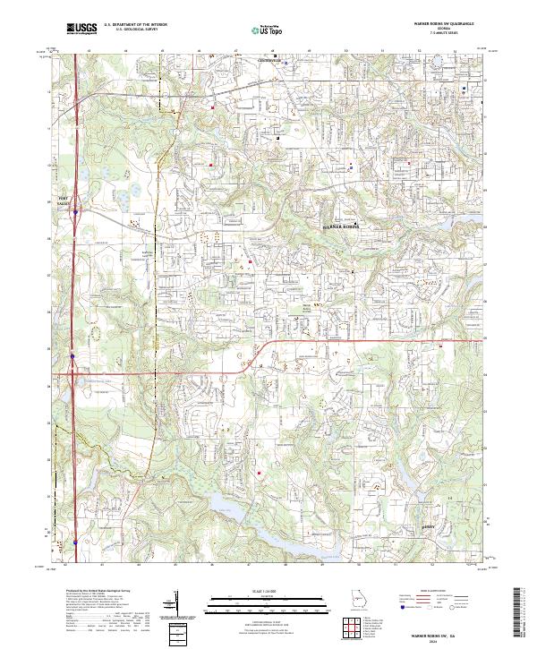
2024 Warner Robins SW
Houston County, GA