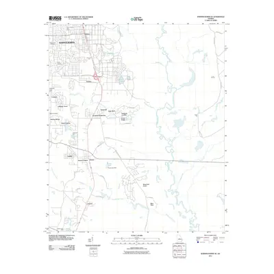
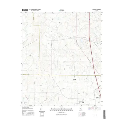
2024 Map of Perry East
USGS Topo · Published 2024About this map
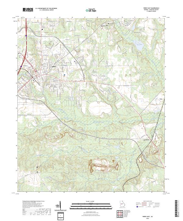
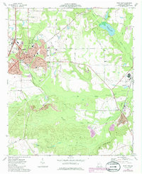
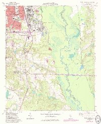
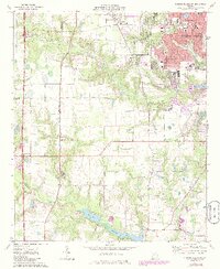
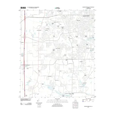
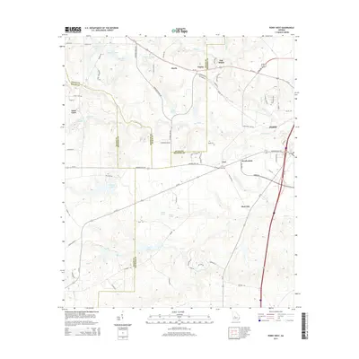
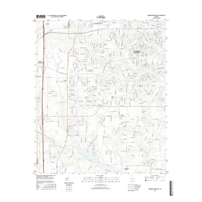
Perry serves as the focal point of this region, anchored by the Houston County Courthouse and a surrounding network of residential growth. The landscape south of the city transitions into a creek-carved topography dominated by the winding path of Big Indian Creek, which flows eastward toward the settlement of Clinchfield. This area reflects a deep-rooted community history, preserved in numerous burial grounds such as Evergreen Cem and Laidler Cem. To the north and east, substantial water bodies like Houston Lake and the wetlands of Mossy Lake define the terrain.
Find a feature on this map
139 named features on this map. Tap any name to fly to it.
Don’t see what you’re looking for? This feature index may not catch every label — zoom into the map to look around manually.
Map Details
Editions of this 2024 Perry East Map
This is the sole edition of this map. No revisions or reprints were ever made.
Historical Maps of Perry Through Time
36 maps found
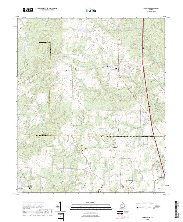
1971 Henderson
Houston County, GA
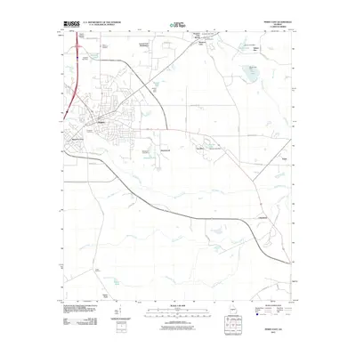
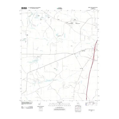
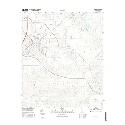
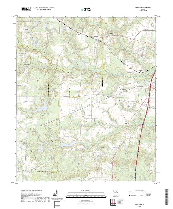
1972 Perry West
Houston County, GA
1973 Hayneville
Houston County, GA
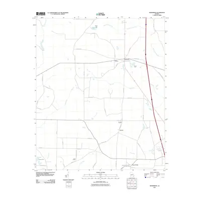
1973 Perry East
Houston County, GA
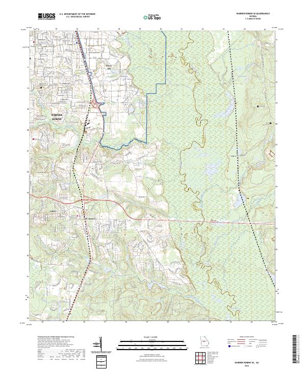
1973 Warner Robins SE
Houston County, GA
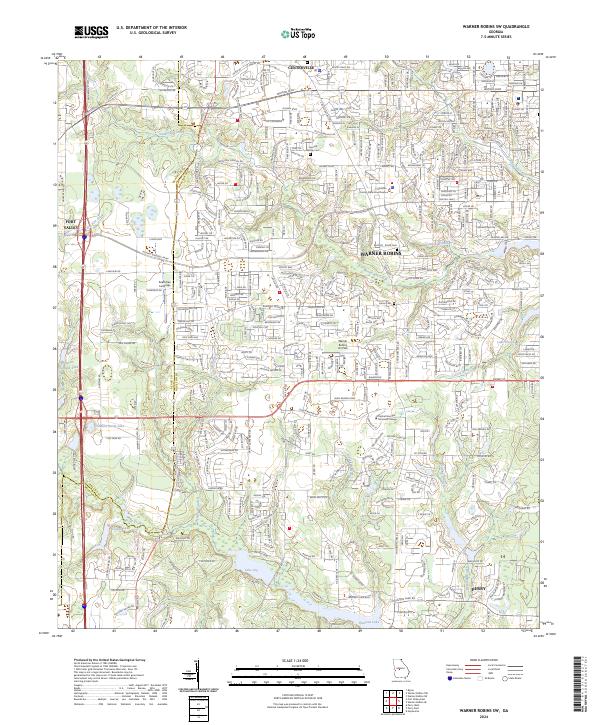
1973 Warner Robins SW
Houston County, GA
2011 Hayneville
Houston County, GA
2011 Henderson
Houston County, GA
2011 Perry East
Houston County, GA
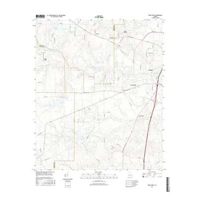
2011 Perry West
Houston County, GA
2011 Warner Robins SE
Houston County, GA
2011 Warner Robins SW
Houston County, GA
2014 Hayneville
Houston County, GA
2014 Henderson
Houston County, GA
2014 Perry East
Houston County, GA
2014 Perry West
Houston County, GA
2014 Warner Robins SE
Houston County, GA
2014 Warner Robins SW
Houston County, GA
2017 Hayneville
Houston County, GA
2017 Henderson
Houston County, GA
2017 Perry East
Houston County, GA
2017 Perry West
Houston County, GA
2017 Warner Robins SE
Houston County, GA
2017 Warner Robins SW
Houston County, GA
2020 Hayneville
Houston County, GA
2020 Henderson
Houston County, GA
2020 Perry East
Houston County, GA
2020 Perry West
Houston County, GA
2020 Warner Robins SE
Houston County, GA
2020 Warner Robins SW
Houston County, GA
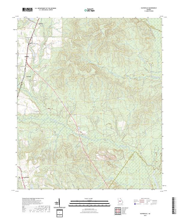
2024 Hayneville
Houston County, GA
2024 Henderson
Houston County, GA
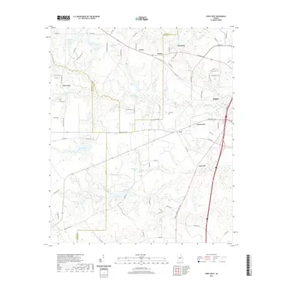
2024 Perry East
Houston County, GA
2024 Perry West
Houston County, GA
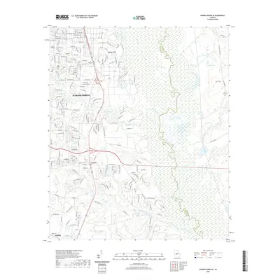
2024 Warner Robins SE
Houston County, GA
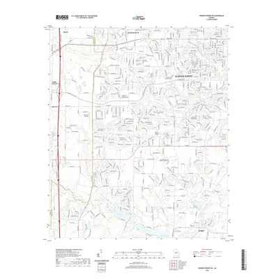
2024 Warner Robins SW
Houston County, GA