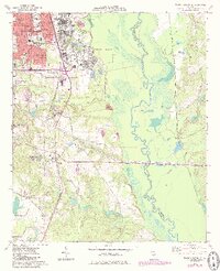
1973 Map of Warner Robins SE
USGS Topo · Published 1985About this map
Robins Air Force Base dominates the landscape of Houston County, appearing as a hub of mid-century infrastructure with its extensive airfield, residential Robins School, and recreational facilities like Duck Lake and the nearby Golf Course. In this 1973 survey with 1980s updates, the expansion of Warner Robins is evident through dense street grids and established institutional centers, including City Hall, Walton High School, and Sacred Heart School.
Find a feature on this map
47 named features on this map. Tap any name to fly to it.
Don’t see what you’re looking for? This feature index may not catch every label — zoom into the map to look around manually.
Map Details
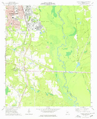
Editions of this 1973 Warner Robins SE Map
2 editions found
Other maps of this area

1956 · Cochran
USGS Topo · 1:62,500

1956 · Perry
USGS Topo · 1:62,500

1956 · Warner Robins
USGS Topo · 1:62,500

1956 · Jeffersonville
USGS Topo · 1:62,500

1957 · Macon
USGS Topo · 1:250,000

1958 · Macon
USGS Topo · 1:250,000

1964 · Macon
USGS Topo · 1:250,000

1973 · Hayneville
USGS Topo · 1:24,000

1973 · Warner Robins NE
USGS Topo · 1:24,000

1973 · Tarversville
USGS Topo · 1:24,000