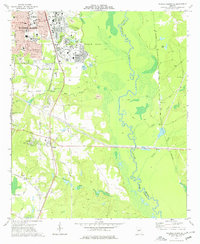
1973 Map of Warner Robins SE
USGS Topo · Published 1977About this map
Robins Air Force Base dominates the central landscape of this 1973 survey, acting as a massive industrial and military hub that shapes the growth of Warner Robins to its west. The map records a period of significant suburban development, characterized by numerous schools such as Watson Sch and Stephens Sch, alongside the established infrastructure of the Southern Railway. To the south, the settlement of Bonaire and the locality of Lashley appear at a crossroads of rural tradition and encroaching modernization.
Find a feature on this map
49 named features on this map. Tap any name to fly to it.
Don’t see what you’re looking for? This feature index may not catch every label — zoom into the map to look around manually.
Map Details
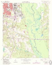
Editions of this 1973 Warner Robins SE Map
2 editions found
Other maps of this area

1956 · Cochran
USGS Topo · 1:62,500

1956 · Perry
USGS Topo · 1:62,500

1956 · Warner Robins
USGS Topo · 1:62,500

1956 · Jeffersonville
USGS Topo · 1:62,500

1957 · Macon
USGS Topo · 1:250,000

1958 · Macon
USGS Topo · 1:250,000

1964 · Macon
USGS Topo · 1:250,000

1973 · Hayneville
USGS Topo · 1:24,000

1973 · Warner Robins NE
USGS Topo · 1:24,000

1973 · Tarversville
USGS Topo · 1:24,000