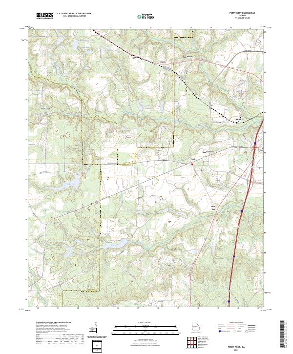
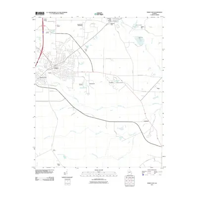
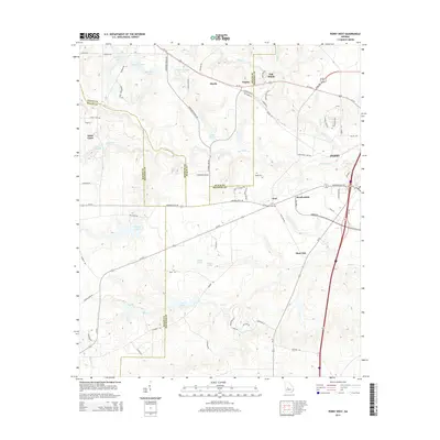
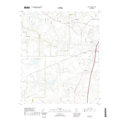
2024 Map of Perry West
USGS Topo · Published 2024About this map
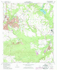
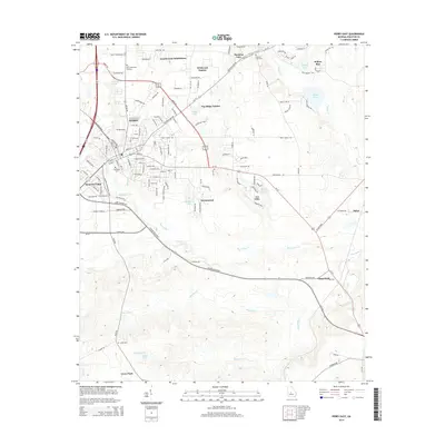
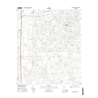
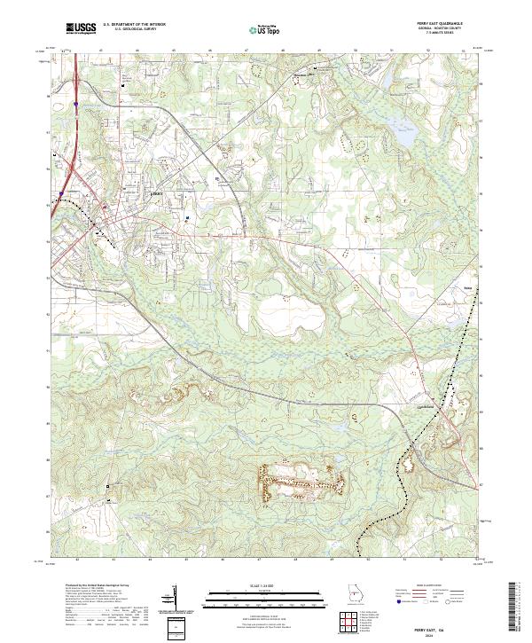
Perry sits at the eastern edge of this agricultural and water-rich landscape, where the confluence of several creeks and named lakes defines the local topography. Significant water bodies like Louis Newberry Lake, Lake Clopine, and Forbes Lake are scattered throughout the region, particularly concentrated north of Big Indian Creek. These water features, alongside Free Lake and Dumas Lake, suggest a land shaped by drainage into the nearby river systems, supporting the rural communities and agricultural operations that have long characterized the Georgia fall line region.
Find a feature on this map
83 named features on this map. Tap any name to fly to it.
Don’t see what you’re looking for? This feature index may not catch every label — zoom into the map to look around manually.
Map Details
Editions of this 2024 Perry West Map
This is the sole edition of this map. No revisions or reprints were ever made.
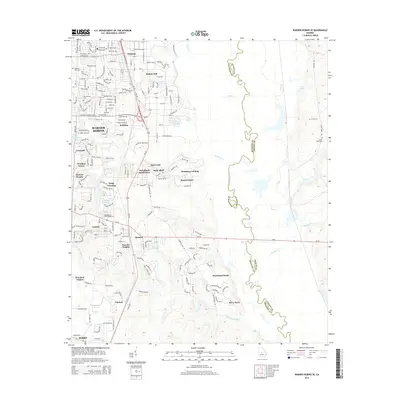
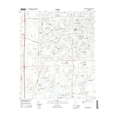
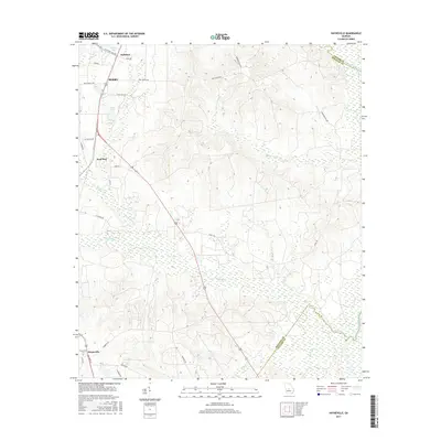
Historical Maps of Perry Through Time
36 maps found
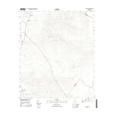
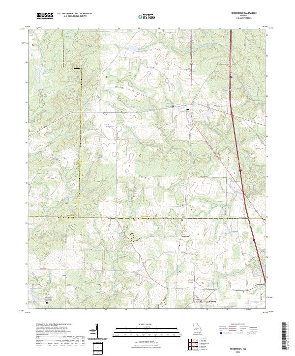
1971 Henderson
Houston County, GA
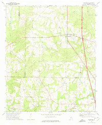
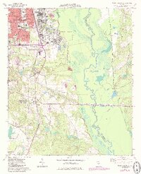
1972 Perry West
Houston County, GA
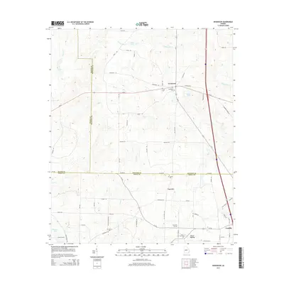
1973 Hayneville
Houston County, GA
1973 Perry East
Houston County, GA
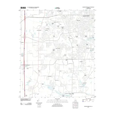
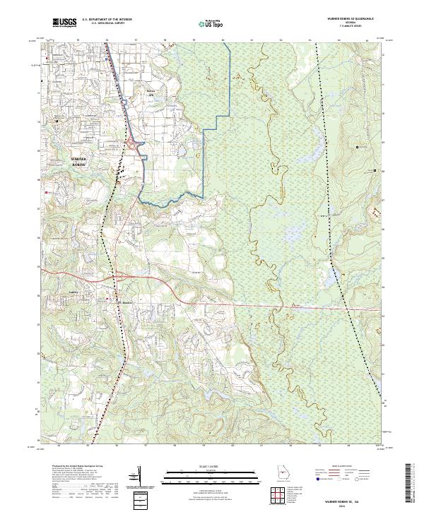
1973 Warner Robins SE
Houston County, GA
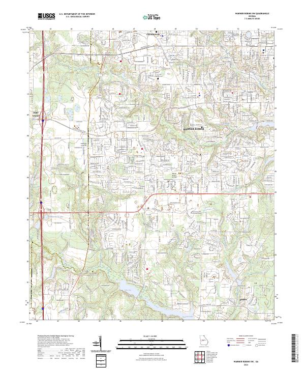
1973 Warner Robins SW
Houston County, GA
2011 Hayneville
Houston County, GA
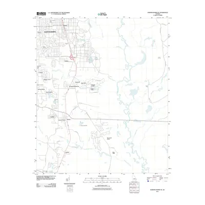
2011 Henderson
Houston County, GA
2011 Perry East
Houston County, GA
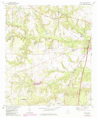
2011 Perry West
Houston County, GA
2011 Warner Robins SE
Houston County, GA
2011 Warner Robins SW
Houston County, GA
2014 Hayneville
Houston County, GA
2014 Henderson
Houston County, GA
2014 Perry East
Houston County, GA
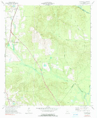
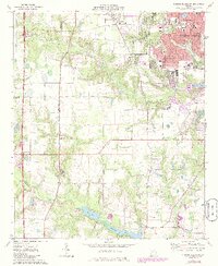
2014 Perry West
Houston County, GA
2014 Warner Robins SE
Houston County, GA
2014 Warner Robins SW
Houston County, GA
2017 Hayneville
Houston County, GA
2017 Henderson
Houston County, GA
2017 Perry East
Houston County, GA
2017 Perry West
Houston County, GA
2017 Warner Robins SE
Houston County, GA
2017 Warner Robins SW
Houston County, GA
2020 Hayneville
Houston County, GA
2020 Henderson
Houston County, GA
2020 Perry East
Houston County, GA
2020 Perry West
Houston County, GA
2020 Warner Robins SE
Houston County, GA
2020 Warner Robins SW
Houston County, GA
2024 Hayneville
Houston County, GA
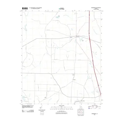
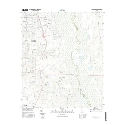
2024 Henderson
Houston County, GA
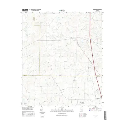
2024 Perry East
Houston County, GA
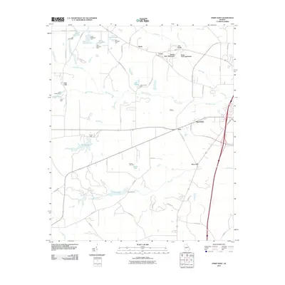
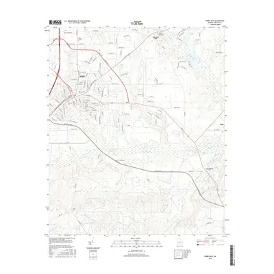
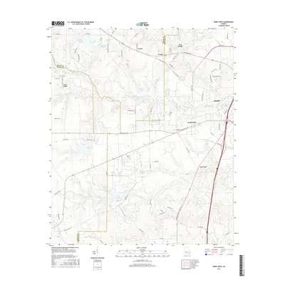
2024 Perry West
Houston County, GA
2024 Warner Robins SE
Houston County, GA
2024 Warner Robins SW
Houston County, GA