Old Maps of Jasper County, Georgia for Metal Detecting
Plan your next treasure hunt with 69 historic maps of Jasper County. Find old homesites, ghost towns, trails, and gathering spots that may be lost to time — perfect for identifying promising metal detecting locations.
- Locate forgotten sites: Uncover places like long-lost settlements, abandoned rail lines, or gathering spots.
- Plan better hunts: Use map overlays combined with LiDAR or satellite views to narrow in on historically rich areas.
- Made for detectorists: Thousands of hobbyists use these maps to discover relics, coins, and hidden history.
Use these historic maps to boost your research and find new opportunities beneath the surface of Jasper County.
Jasper County, GA maps
(69)- 1896 Map of Monroe
 1896 Monroe1896 Print · USGSNorth-central Georgia thrives during the late nineteenth century as a hub of river-powered industry and rail expansion. Genealogists and historians can trace family locations near Salem Camp Ground, the local commerce at Carithers Store, and several early crossings like Bells Bridge.5 unique versions available
 - 1951 Map of Forsyth, 1953 Print
 1951 Forsyth1953 Print · USGSThe Monroe County seat and the Ocmulgee River corridor are captured here during the early fifties, showing a landscape defined by rail-fed industry and deep-rooted rural communities. Genealogists can locate family landmarks like Brighton Mills, Bessie Tift College, and the riverside settlement of Juliette.3 unique versions available
 - 1953 Map of Athens, 1966 Print
 1953 Athens1966 Print · USGSGeorgia's Piedmont and Savannah River borderlands come alive in this mid-century survey of the region surrounding Athens and Augusta. Trace the rail-and-river economy through the Georgia RR and landmarks like the Fort Gordon Military Reservation.3 unique versions available
 - 1958 Map of Athens
 1958 Athens1958 Print · USGSNorth-central Georgia and the Savannah River valley are captured in the late fifties, showing the region as the new reservoirs were filling. Researchers can trace historic rail lines like the Georgia RR and locate rural landmarks such as Social Circle, Graves Mountain, and the Fort Gordon Military Reservation.
 - 1959 Map of Athens
 1959 Athens1959 Print · USGSNortheast Georgia and the South Carolina borderlands appear here in the mid-fifties, during a decade of infrastructure growth. Genealogists and historians can trace the rail-and-river geography of towns like Social Circle, the sprawl of Fort Gordon Military Reservation, and the newly formed Clark Hill Reservoir.
 - 1963 Map of Athens
 1963 Athens1963 Print · USGSGeorgia's Piedmont and the Savannah River valley are captured in the early sixties as major reservoirs and military installations reshaped the landscape. Researchers can trace the development of Clark Hill Reservoir, locate the Fort Gordon Military Reservation, and find historic towns like Social Circle and Eatonton.
 - 1964 Map of Lloyd Shoals Dam, 1965 Print
 1964 Lloyd Shoals Dam1965 Print · USGSThe convergence of the South and Alcovy Rivers into Jackson Lake defines this rural Georgia landscape in the early sixties. Genealogists can trace family names and landmarks like Leverette Cem, Bethel Grove Ch, and the settlement of Bethel.3 unique versions available
 - 1964 Map of Stewart, 1965 Print
 1964 Stewart1965 Print · USGSThe convergence of the Alcovy and Yellow Rivers into Jackson Lake highlights this Georgia landscape in the 1960s. Researchers can trace family history through sites like Newton Factory and the Heard-Mixon Sch or find old burial sites such as Fincher Cem.3 unique versions available
 - 1964 Map of Stanfordville, 1965 Print
 1964 Stanfordville1965 Print · USGSJasper and Putnam counties are seen here in the mid-1960s, a time when the forestry and recreation of the Piedmont defined local life. Genealogists and historians can trace community roots through Mt Carmel Ch, Goolsby, and the Union Hill Ch Cem.3 unique versions available
 - 1964 Map of Hillsboro, 1965 Print
 1964 Hillsboro1965 Print · USGSJasper County was a landscape of rail-connected hamlets and federal timberlands during the mid-sixties. Genealogists and historians can trace the Central of Georgia line through Adgateville and Hillsboro, or locate family landmarks like Rock Zion Ch.3 unique versions available
 - 1972 Map of Monticello, 1974 Print
 1972 Monticello1974 Print · USGSMonticello and the surrounding Jasper County landscape are captured here in the early seventies, showing a classic Georgia rail town before modern expansion. Researchers can trace family roots at West View Cem, locate rural congregations like Talmadge Ch, or follow the path of the Georgia Central Railroad.2 unique versions available
 - 1972 Map of Shady Dale, 1974 Print
 1972 Shady Dale1974 Print · USGSJasper and Morgan County crossroads are preserved here during the early seventies, centered on the rail-based growth of Shady Dale and Machen. Researchers can trace old family sites and local landmarks like Pleasant Grove Ch and the Central of Georgia rail line.2 unique versions available
 - 1972 Map of Smithboro, 1974 Print
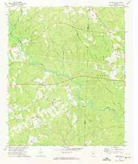 1972 Smithboro1974 Print · USGSThe rural landscape of Jasper and Putnam Counties in the 1970s is defined by the dense woods of the Oconee National Forest. Researchers can trace old transportation routes and local landmarks including Reids Chapel, the Central of Georgia rail line, and the namesake settlement of Smithboro.2 unique versions available
 - 1972 Map of Farrar, 1974 Print
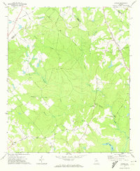 1972 Farrar1974 Print · USGSJasper and Newton counties are captured here in the early 1970s, showing a rural landscape of winding creeks and country crossroads. Genealogists can trace family landmarks like Pitts Chapel, Shiloh Ch, and the small community of Farrar along the Central of Georgia rail line.2 unique versions available
 - 1972 Map of Mansfield, 1974 Print
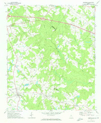 1972 Mansfield1974 Print · USGSNewton County in the early seventies remains a landscape of rail-connected towns and country churches. Genealogists can trace family names and old landmarks across the Central of Georgia line between Mansfield and the historic Brick Store settlement.2 unique versions available
 - 1973 Map of Berner, 1975 Print
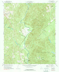 1973 Berner1975 Print · USGSCentral Georgia's river-cut timberlands are captured here in the early seventies, showing the rural communities of Jasper and Butts counties. Genealogists and historians can trace the Southern railroad corridor through Berner and locate country congregations like Ward Ch.2 unique versions available
 - 1980 Map of Athens, 1981 Print
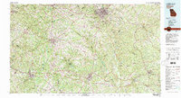 1980 Athens1981 Print · USGSNorth Georgia in the early eighties exhibits a landscape of growing university towns and deep-rooted rail hubs. Genealogists can trace family lands near Social Circle or Watkinsville while following the routes of the Central of Georgia and the Appalachee River.2 unique versions available
 - 1981 Map of Milledgeville
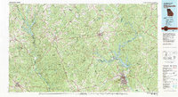 1981 Milledgeville1981 Print · USGSMiddle Georgia in the early eighties shows a landscape shaped by major reservoirs and deep forests. Genealogists and historians can trace the rail networks of the Southern and Central of Georgia through towns like Monticello and Eatonton.2 unique versions available
 - 1988 Map of Athens
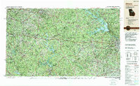 1988 Athens1988 Print · USGSThe Georgia Piedmont and South Carolina borderlands appear in the late eighties as a landscape of vast reservoirs and growing towns. Researchers can trace the legacy of the Georgia RR connecting Athens and Augusta, or locate landmarks within Oconee National Forest.
 - 2011 Map of Stanfordville, 2011 Print
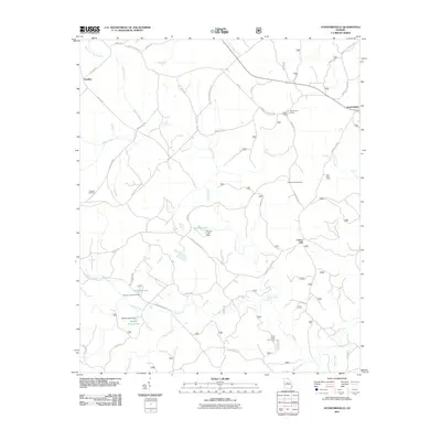 2011 Stanfordville2011 Print · USGSJones County at the start of the 2010s was a landscape defined by timberlands and recreation. Researchers can locate Fullerton Cemetery, trace the many branches of Cedar Creek, and identify sporting sites like Mathis Hunt Camp and Union Hill.
 - 2011 Map of Lloyd Shoals Dam, 2011 Print
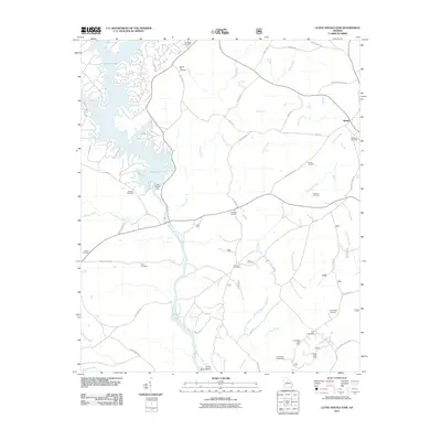 2011 Lloyd Shoals Dam2011 Print · USGSThe Ocmulgee River and the expansive fingers of Jackson Lake dominate this Georgia landscape at the start of the twenty-first century. Genealogists and historians can trace numerous rural burial sites including Leverette Cemetery and Williams Cemetery, alongside old river routes like Thomas Ferry Rd.
 - 2011 Map of Hillsboro, 2011 Print
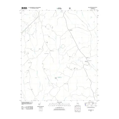 2011 Hillsboro2011 Print · USGSHillsboro and Adgateville appear in the early 2010s within a rural landscape defined by hunting camps and quiet family cemeteries. Researchers can locate specific sites like the John Tillman Cemetery, Hillsboro Post Office, and the Piedmont Wildlife Lake dam.
 - 2011 Map of Berner, 2011 Print
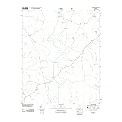 2011 Berner2011 Print · USGSCentral Georgia at the start of the decade reveals a landscape of river confluences and quiet rural crossroads. Genealogists and local historians can trace family ties at Enon Cemetery or Willis Cemetery and locate landmarks like the Gladesville Lookout Tower.
 - 2011 Map of Shady Dale, 2011 Print
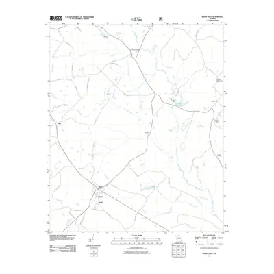 2011 Shady Dale2011 Print · USGSShady Dale and the surrounding Jasper County countryside are shown here in the early twenty-first century. Researchers can trace rural lineages at Providence Cemetery or locate historic sites like Waltons Mill and the crossroads of Machen and Pennington.
 - 2011 Map of Mansfield, 2011 Print
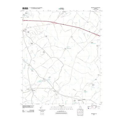 2011 Mansfield2011 Print · USGSNewton and Walton counties are captured here during a period of modern growth mixed with deep-rooted rural history. Family researchers can trace the locations of the Perry Family Cemetery and Sewell Cemetery alongside landmarks like Cooper Bridge.
Showing maps 1-25 of 69
Top cities of Jasper County
Frequently asked questions
- What are the different types of historical maps available for Jasper County?
- What is the oldest map of Jasper County?
- Where can I purchase historical maps of Jasper County for my home or office?
- Where can I download high-res historical maps of Jasper County?
- Are there historical topographic maps available for Jasper County?
- Is there historical aerial imagery available for Jasper County?
- Where are historical maps of Jasper County sourced from?