2000s (21st Century) Maps of Hazlehurst, Georgia
Explore 10 historic maps of Hazlehurst from the 2000s (21st Century). These maps offer a rare glimpse into what life looked like during the 2000s — showing old roads, neighborhoods, homes, and landmarks that have changed or disappeared over time.
Whether you're researching your family's past, planning a metal detecting trip, or studying how Hazlehurst's landscape evolved across the 2000s, these high-resolution maps are a powerful tool for exploring the history of this region.
- Focus on a specific era: All maps on this page are from the 2000s, giving you a focused view of this time period.
- See what’s changed: Compare century-old streets, trails, and buildings to today's modern landscape using overlays and satellite layers.
- Research with precision: Use these maps for genealogy, historical research, land use analysis, or educational projects.
- View, download, or print: Maps are fully viewable online in high resolution, and can be downloaded or printed for your own records.
Start exploring Hazlehurst's history through authentic maps from the 2000s. This is your window into the past.
Hazlehurst, GA maps
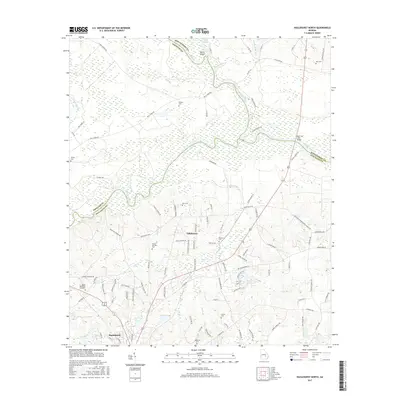
(10)- 2011 Map of Hazlehurst North, 2011 Print
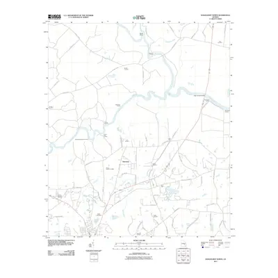 2011 Hazlehurst North2011 Print · USGSCovers Hazlehurst, including Tallahassee, Jeff Davis County, and other nearby areas
 - 2011 Map of Hazlehurst South, 2011 Print
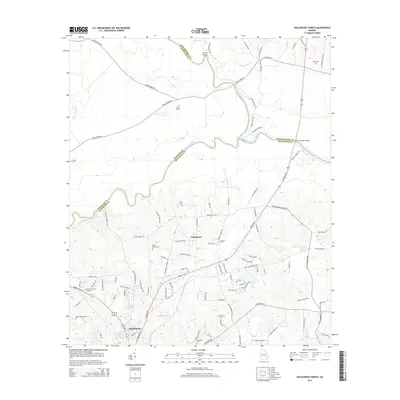
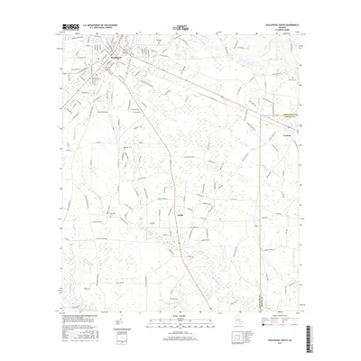
 2011 Hazlehurst South2011 Print · USGSCovers Hazlehurst, including Graham, Satilla, and other nearby areas
 - 2014 Map of Hazlehurst North, 2014 Print
 2014 Hazlehurst North2014 Print · USGSCovers Hazlehurst, including Tallahassee, Jeff Davis County, and other nearby areas
 - 2014 Map of Hazlehurst South, 2014 Print
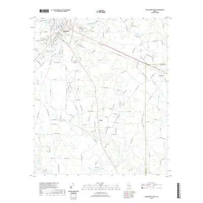
 2014 Hazlehurst South2014 Print · USGSCovers Hazlehurst, including Graham, Satilla, and other nearby areas
 - 2017 Map of Hazlehurst North, 2017 Print
 2017 Hazlehurst North2017 Print · USGSCovers Hazlehurst, including Tallahassee, Jeff Davis County, and other nearby areas
 - 2017 Map of Hazlehurst South, 2017 Print
 2017 Hazlehurst South2017 Print · USGSCovers Hazlehurst, including Graham, Satilla, and other nearby areas
 - 2020 Map of Hazlehurst South, 2020 Print
 2020 Hazlehurst South2020 Print · USGSCovers Hazlehurst, including Graham, Satilla, and other nearby areas
 - 2020 Map of Hazlehurst North, 2020 Print
 2020 Hazlehurst North2020 Print · USGSCovers Hazlehurst, including Tallahassee, Jeff Davis County, and other nearby areas
 - 2024 Map of Hazlehurst North, 2024 Print
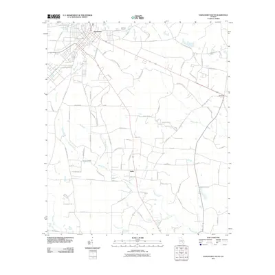
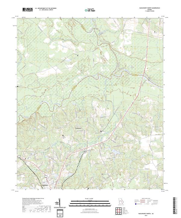 2024 Hazlehurst North2024 Print · USGSThe confluence of the Oconee and Ocmulgee rivers marks this South Georgia landscape at the modern turn. Researchers can trace family history through sites like Town Bluff Ferry and numerous burial grounds including Mobley Cem and Hall Cem.
 - 2024 Map of Hazlehurst South, 2024 Print
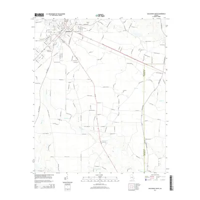
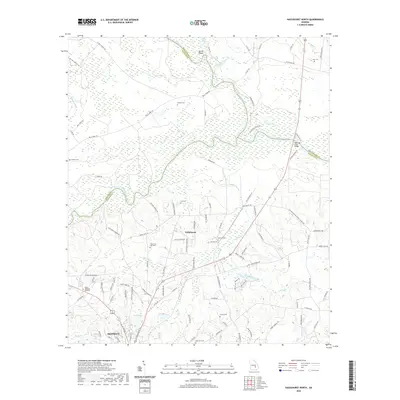
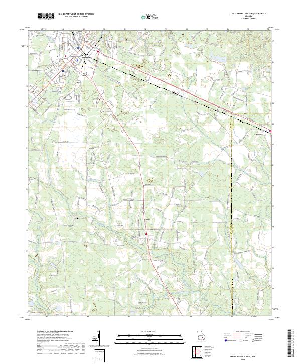 2024 Hazlehurst South2024 Print · USGSJeff Davis County and the surrounding timberlands are documented here in recent years, showing the growth of the regional rail hub. Genealogists and historians can trace family locations near Bazemore Cem, Satilla Church, and the winding Big Satilla Creek.
End of results
Showing maps 1-10 of 10
Top cities near Hazlehurst
- Baxley historical maps
- Lumber City historical maps
- Uvalda historical maps
- Scotland historical maps
- Graham historical maps
- Denton historical maps
See more
Frequently asked questions
- What are the different types of historical maps available for Hazlehurst?
- What is the oldest map of Hazlehurst?
- Where can I purchase historical maps of Hazlehurst for my home or office?
- Where can I download high-res historical maps of Hazlehurst?
- Are there historical topographic maps available for Hazlehurst?
- Is there historical aerial imagery available for Hazlehurst?
- Where are historical maps of Hazlehurst sourced from?