2010s Maps of Jefferson County, Georgia
Explore 54 historic maps of Jefferson County from the 2010s. These maps offer a rare glimpse into what life looked like during the 2010s — showing old roads, neighborhoods, homes, and landmarks that have changed or disappeared over time.
Whether you're researching your family's past, planning a metal detecting trip, or studying how Jefferson County's landscape evolved across the 2010s, these high-resolution maps are a powerful tool for exploring the history of this region.
- Focus on a specific era: All maps on this page are from the 2010s, giving you a focused view of this time period.
- See what’s changed: Compare century-old streets, trails, and buildings to today's modern landscape using overlays and satellite layers.
- Research with precision: Use these maps for genealogy, historical research, land use analysis, or educational projects.
- View, download, or print: Maps are fully viewable online in high resolution, and can be downloaded or printed for your own records.
Start exploring Jefferson County's history through authentic maps from the 2010s. This is your window into the past.
Jefferson County, GA maps
(54)- 2011 Map of Davisboro, 2011 Print
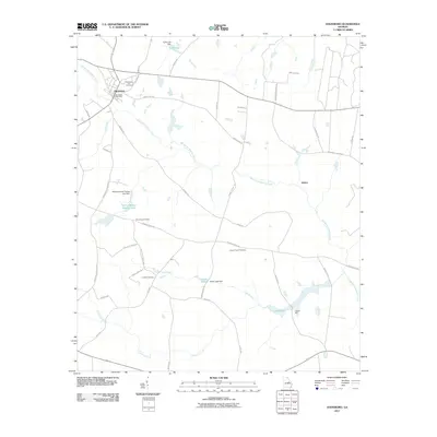 2011 Davisboro2011 Print · USGSDavisboro and its rural surroundings in Washington County are captured here just after the first decade of the millennium. Genealogists and researchers can trace local family landmarks such as Tarvers Mill, Joseys Chapel Cemetery, and the quiet settlement of Almira.
 - 2011 Map of Davisboro SE, 2011 Print
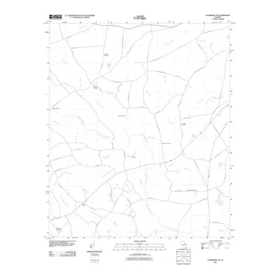 2011 Davisboro SE2011 Print · USGSWashington County, Georgia, is documented here in the early twenty-first century as a rural landscape of creek-fed farms and family holdings. Researchers can trace ancestral locations through numerous family burial sites like Whitfield Cemetery and Price Cemetery or locate the settlement of New Home.
 - 2011 Map of Colemans Lake, 2011 Print
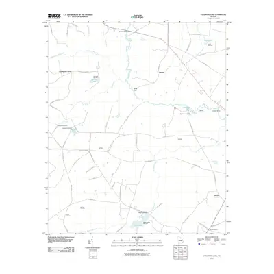 2011 Colemans Lake2011 Print · USGSMid-century rural Georgia comes into focus as the Ogeechee River winds through Burke County. Genealogists can trace family heritage through local burial sites like Corinth Cemetery and the crossroads at Stevens Crossing.
 - 2011 Map of Wadley, 2011 Print
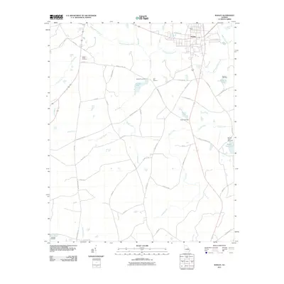 2011 Wadley2011 Print · USGSWadley and the surrounding Jefferson County countryside are captured here in the early twenty-first century. Genealogists and local historians can trace family-named routes and landmarks like Blounts Chapel Cemetery, Live Oak Cemetery, and Rachels Pond.
 - 2011 Map of Louisville South, 2011 Print
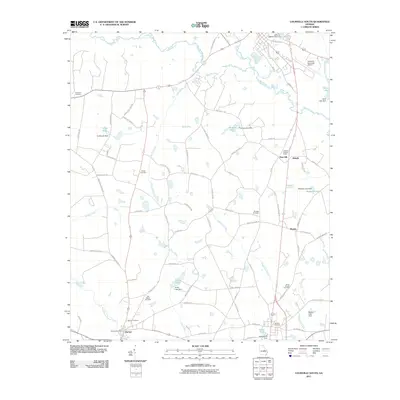 2011 Louisville South2011 Print · USGSJefferson County's rural landscape is captured here in the early twenty-first century as agricultural life continues around historic crossroads. Genealogists and historians can locate family landmarks such as Old Bethel Cemetery, the Bartow Post Office, and Pine Hill.
 - 2011 Map of Old Town, 2011 Print
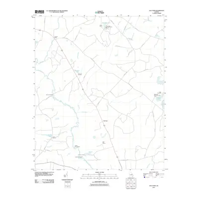 2011 Old Town2011 Print · USGSThe rural Jefferson County landscape near the Ogeechee River is captured here in the early twenty-first century. Genealogists can locate family landmarks like Causey Cemetery and Street Place Cemetery or trace the river's path through the Upper Roundabout.
 - 2011 Map of Gibson, 2011 Print
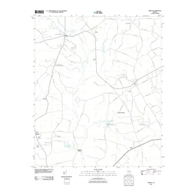 2011 Gibson2011 Print · USGSThe rural landscape of Glascock County is captured here in the early twenty-first century, centered on the historic crossroads of Gibson and Avera. Genealogists and local historians can trace family ties through numerous sites like Glovers Millpond, Omaha Springs, and the Gibson City Cemetery.
 - 2011 Map of Mitchell, 2011 Print
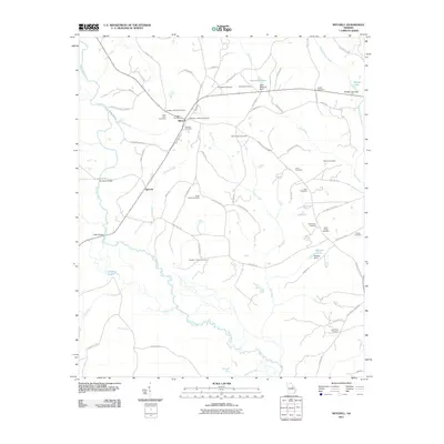 2011 Mitchell2011 Print · USGSGlascock County’s rural character is preserved in this early twenty-first-century survey of the Ogeechee River valley. Genealogists can trace family footprints at Mitchell Cemetery, Friendship Cemetery, and the historic Harrisons Bridge.
 - 2011 Map of Downs, 2011 Print
 2011 Downs2011 Print · USGSWashington County at the turn of the decade is a landscape of quiet crossroads and family-held lands. Researchers can trace ancestral connections through numerous sites like Downs Cemetery and Gordon Cemetery, or locate old mill sites like Jordan Millpond.
 - 2011 Map of Grange, 2011 Print
 2011 Grange2011 Print · USGSWashington County during the early twenty-first century reveals a landscape of quiet crossroads and historic creek crossings. Genealogists can trace family roots through Magnolia Cemetery, the settlement at Grange, and the river crossing at Fenns Bridge.
 - 2011 Map of Avondale, 2011 Print
 2011 Avondale2011 Print · USGSEastern Georgia at the start of the twenty-first century reveals a landscape shaped by rural family legacies and winding creeks. Genealogists can trace deep local roots across numerous sites like Silver Run Cemetery, Patterson Bridge, and Nortons Millrace.
 - 2011 Map of Matthews, 2011 Print
 2011 Matthews2011 Print · USGSJefferson County's rural landscape is captured here in the early twenty-first century, showing a network of long-established settlements. Researchers can trace family history through numerous local sites like Mount Horeb Cemetery, Brinson Crossing, and Ways Cemetery.
 - 2011 Map of Keysville, 2011 Print
 2011 Keysville2011 Print · USGSThe rural Georgia countryside near Keysville is mapped here in the early twenty-first century, showcasing a landscape defined by meandering creeks and historic settlements. Genealogists can locate several family burial sites including Pol Hill Cemetery and trace the area's geography from Marks Mill Pond to the Walker Grove Settlement.
 - 2011 Map of Louisville, 2011 Print
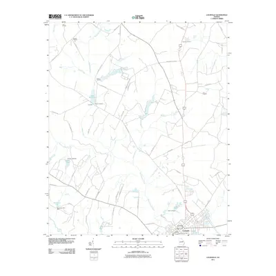 2011 Louisville2011 Print · USGSLouisville and the surrounding Jefferson County countryside are captured here in the early twenty-first century. Genealogists and local historians can trace family roots at Pioneer Cemetery, Ebenezer Cemetery, and the historic Clarks Mill.
 - 2011 Map of Wrens, 2011 Print
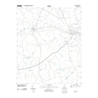 2011 Wrens2011 Print · USGSJefferson County’s rural character and small-town centers are captured here in the early twenty-first century. Genealogists and local historians can trace family ties through numerous sites like Stapleton Cemetery, Stone Springfield Cemetery, and the historic Gamble Mill Pond.
 - 2011 Map of Blythe, 2011 Print
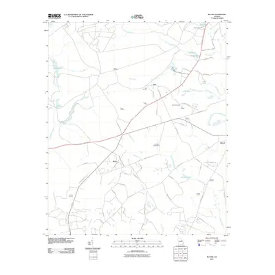 2011 Blythe2011 Print · USGSBlythe and the surrounding Georgia countryside are mapped here during a period of steady rural development in the early twenty-first century. Genealogists and historians can trace numerous family burial grounds and small settlements, such as Freeman Cemetery, Bath, and Union Mill Pond.
 - 2011 Map of Kellys Pond, 2011 Print
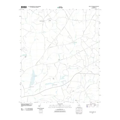 2011 Kellys Pond2011 Print · USGSRural Burke County comes into focus in the early twenty-first century, showing a landscape shaped by family estates and timber-lined waterways. Researchers can locate ancestral sites like Boatwright Cemetery and Ellis Plantation alongside Kellys Pond.
 - 2011 Map of Bowdens Pond, 2011 Print
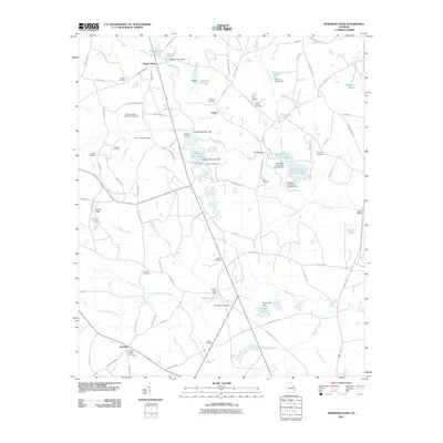 2011 Bowdens Pond2011 Print · USGSMcDuffie County at the start of the 2010s reveals a landscape where industrial kaolin mining meets deep-rooted family history. Researchers can trace ancestral lands through numerous burial sites like Mount Aldred Cemetery and Adkins Cemetery or locate old waterworks at Johnson Pond.
 - 2014 Map of Avondale, 2014 Print
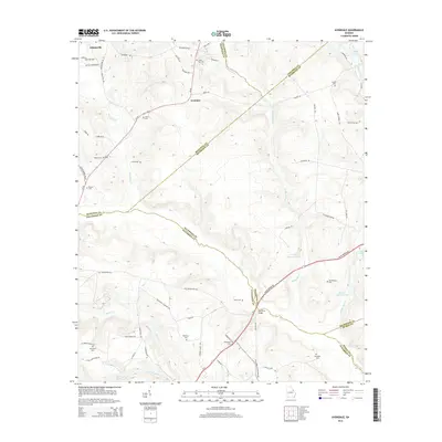 2014 Avondale2014 Print · USGSEastern Georgia's rural borderlands are captured in detail during the early twenty-first century, showing a landscape defined by family estates and local creeks. Researchers can locate numerous family burial grounds like Silver Run Cem and Arrington Cem or trace the path of Nortons Millrace.
 - 2014 Map of Kellys Pond, 2014 Print
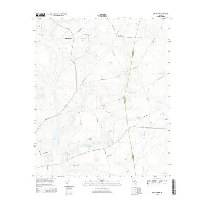 2014 Kellys Pond2014 Print · USGSThe rural borderlands of Jefferson and Burke counties are meticulously detailed in this recent survey. Genealogists and historians can trace family landholdings and small burial grounds like Melton Place Cem, Ponder Family Cem, and the grounds of Ellis Plantation.
 - 2014 Map of Davisboro, 2014 Print
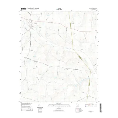 2014 Davisboro2014 Print · USGSThe agricultural landscape of Washington and Jefferson Counties comes into focus in this recent survey. Local historians can trace family roots through Davisboro City Cem and Fulford Cem or locate the settlement of Almira.
 - 2014 Map of Old Town, 2014 Print
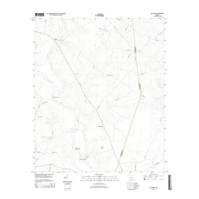 2014 Old Town2014 Print · USGSJefferson and Burke counties meet in this river-bottom landscape along the Ogeechee during the early twenty-first century. Genealogists can trace family landmarks like Street Place Cem or follow the river to the Upper Roundabout and Old Town.
 - 2014 Map of Louisville, 2014 Print
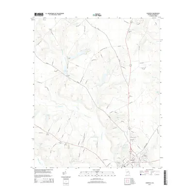 2014 Louisville2014 Print · USGSJefferson County's seat and the surrounding countryside are shown here at the start of the 2010s. Genealogists can trace family heritage through numerous burial sites like Pioneer Cem and Garden Grove Cem, or locate landmarks like Clarks Mill Pond.
 - 2014 Map of Grange, 2014 Print
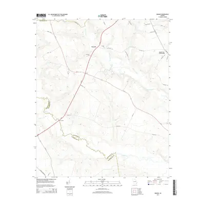 2014 Grange2014 Print · USGSThe borderlands of Jefferson and Washington County are captured here in the early twenty-first century, showcasing a rural landscape of crossroads and river bends. You can trace family-named routes like Alonzo Davis Rd and locate historic burial grounds at Providence Cem and Magnolia Cem.
 - 2014 Map of Wrens, 2014 Print
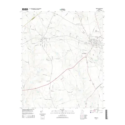 2014 Wrens2014 Print · USGSJefferson County’s agricultural and transit corridors come into focus in the early 2010s near the towns of Wrens and Stapleton. Genealogists and local historians can trace family locations through numerous sites like Stone Springfield Cem, Stapleton Mill Pond, and Wrens Memorial Airport.
Showing maps 1-25 of 54
Top cities of Jefferson County
- Louisville historical maps
- Wadley historical maps
- Wrens historical maps
- Stapleton historical maps
- Bartow historical maps
- Avera historical maps
Frequently asked questions
- What are the different types of historical maps available for Jefferson County?
- What is the oldest map of Jefferson County?
- Where can I purchase historical maps of Jefferson County for my home or office?
- Where can I download high-res historical maps of Jefferson County?
- Are there historical topographic maps available for Jefferson County?
- Is there historical aerial imagery available for Jefferson County?
- Where are historical maps of Jefferson County sourced from?