2020s Maps of Lanier County, Georgia
Explore 22 historic maps of Lanier County from the 2020s. These maps offer a rare glimpse into what life looked like during the 2020s — showing old roads, neighborhoods, homes, and landmarks that have changed or disappeared over time.
Whether you're researching your family's past, planning a metal detecting trip, or studying how Lanier County's landscape evolved across the 2020s, these high-resolution maps are a powerful tool for exploring the history of this region.
- Focus on a specific era: All maps on this page are from the 2020s, giving you a focused view of this time period.
- See what’s changed: Compare century-old streets, trails, and buildings to today's modern landscape using overlays and satellite layers.
- Research with precision: Use these maps for genealogy, historical research, land use analysis, or educational projects.
- View, download, or print: Maps are fully viewable online in high resolution, and can be downloaded or printed for your own records.
Start exploring Lanier County's history through authentic maps from the 2020s. This is your window into the past.
Lanier County, GA maps
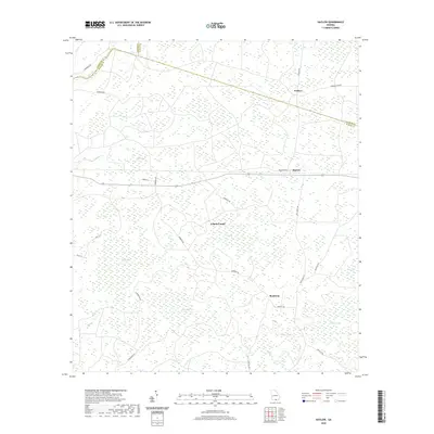
(22)- 2020 Map of Naylor, 2020 Print
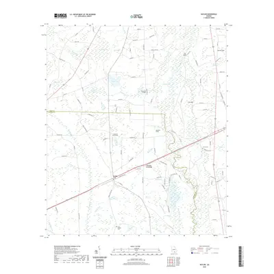 2020 Naylor2020 Print · USGSCovers Lanier County, including Monks Crossing, Stockton, and other nearby areas
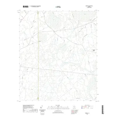
 - 2020 Map of Bemiss, 2020 Print
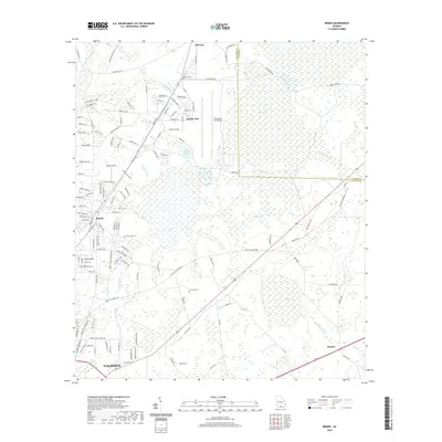 2020 Bemiss2020 Print · USGSCovers Lanier County, including Valdosta, Delmar, and other nearby areas
 - 2020 Map of Stockton, 2020 Print
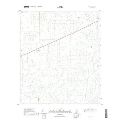 2020 Stockton2020 Print · USGSCovers Lanier County, including Du Pont, Greenwood, and other nearby areas
 - 2020 Map of Howell, 2020 Print
 2020 Howell2020 Print · USGSCovers Lanier County, including Howell, Blanton, and other nearby areas
 - 2020 Map of Haylow, 2020 Print
 2020 Haylow2020 Print · USGSCovers Lanier County, including Haylow, Withers, and other nearby areas
 - 2020 Map of Henderson Still, 2020 Print
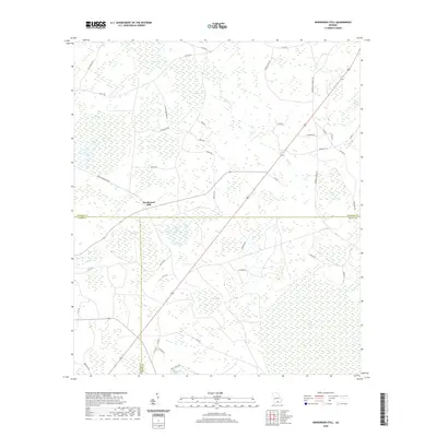 2020 Henderson Still2020 Print · USGSCovers Lanier County, including Henderson Still, Atkinson County, and other nearby areas
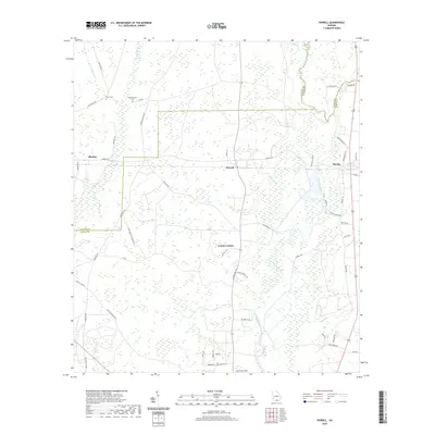
 - 2020 Map of Sirmans, 2020 Print
 2020 Sirmans2020 Print · USGSCovers Lanier County, including Sirmans, Eightmile Still, and other nearby areas
 - 2020 Map of Hastings Fish Pond, 2020 Print
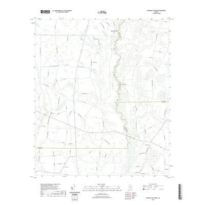 2020 Hastings Fish Pond2020 Print · USGSCovers Lanier County, including Atkinson County, Berrien County, and other nearby areas
 - 2020 Map of Ray City, 2020 Print
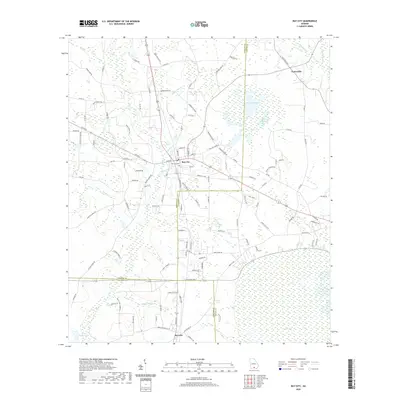 2020 Ray City2020 Print · USGSCovers Lanier County, including Ray City, Teeterville, and other nearby areas
 - 2020 Map of Nashville East, 2020 Print
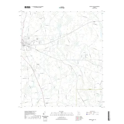 2020 Nashville East2020 Print · USGSCovers Lanier County, including Nashville, Allenville, and other nearby areas
 - 2020 Map of Lakeland, 2020 Print
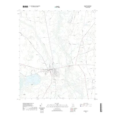 2020 Lakeland2020 Print · USGSCovers Lanier County, including Lakeland, United States, and other nearby areas
 - 2024 Map of Ray City, 2024 Print
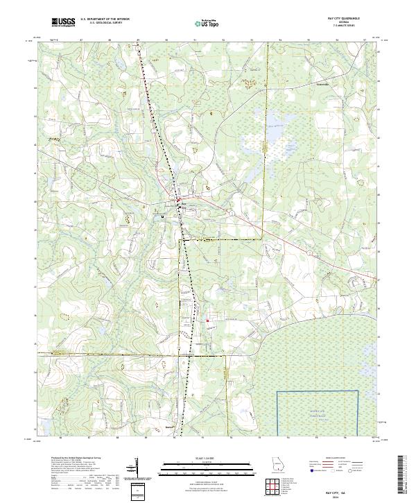 2024 Ray City2024 Print · USGSThe Berrien County landscape at the edge of the coastal plain reveals a complex network of wetlands and rural settlements. Researchers can trace family history at New Ramah Cem or explore the geography of Rays Millpond and Teeterville.
 - 2024 Map of Nashville East, 2024 Print
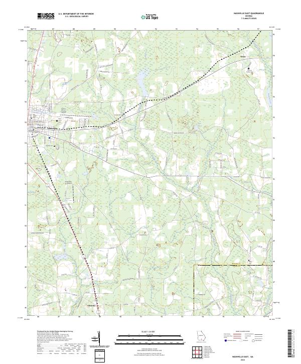 2024 Nashville East2024 Print · USGSNashville and the surrounding timber and farm lands of Berrien County are captured here in the early twenty-first century. Researchers can trace local lineage through several burial grounds like Old Griner Cem and Harmon Gaskins Cem or locate the historic Berrien County Courthouse.
 - 2024 Map of Lakeland, 2024 Print
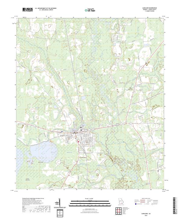 2024 Lakeland2024 Print · USGSLakeland and the surrounding Lanier County wetlands are shown here in the modern era. Genealogists and local historians can locate the Lanier County Courthouse, trace family names at the Charles Knight Cem, or explore the reaches of Banks Lake.
 - 2024 Map of Hastings Fish Pond, 2024 Print
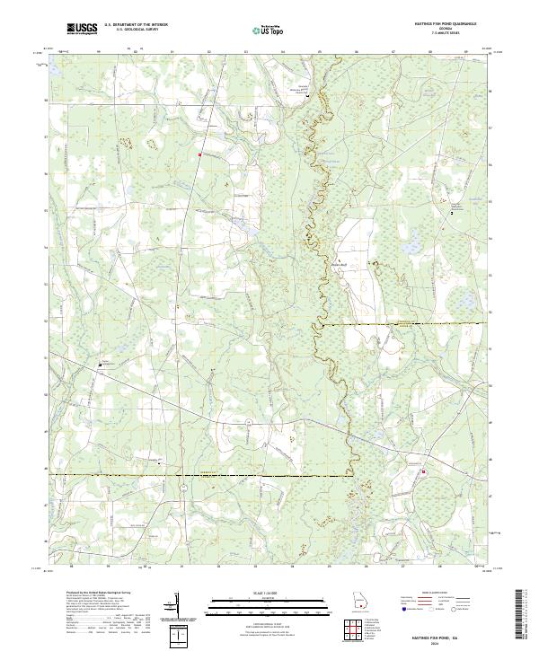 2024 Hastings Fish Pond2024 Print · USGSThe Alapaha River corridor between Berrien and Atkinson counties reveals a landscape of family farms and unique wetlands in this recent survey. Researchers can trace rural lineages at Riverside Missionary Baptist Church Cem or locate the historic Vickers Farm.
 - 2024 Map of Henderson Still, 2024 Print
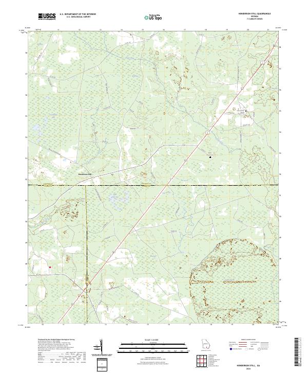 2024 Henderson Still2024 Print · USGSThe rural borderlands of Atkinson, Clinch, and Lanier counties are documented here in the modern era. Researchers can locate family history at Salem Church Cem or trace the unique geography of Fifty Dollar Bay and the extensive Arabia Swamp.
 - 2024 Map of Howell, 2024 Print
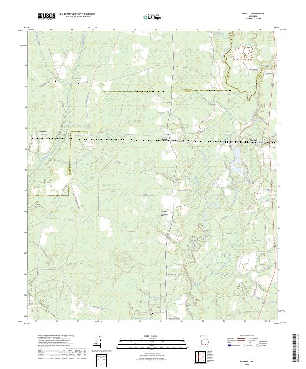 2024 Howell2024 Print · USGSEchols and Lowndes County landscapes are shown here in the contemporary era, centered on the Alapaha River corridor. Researchers can trace family sites like Wetherington Cem and Unity Cem or locate the rural hubs of Howell and Mayday.
 - 2024 Map of Haylow, 2024 Print
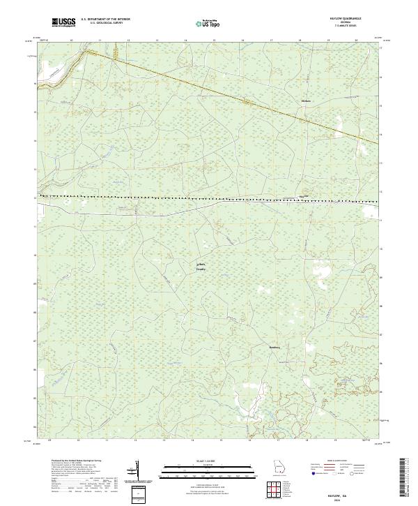 2024 Haylow2024 Print · USGSEchols County and the South Georgia borderlands are documented here in the early twenty-first century. Family historians and researchers can trace local networks around Withers, Haylow, and Bamburg, as well as numerous geographic bays like Ruddy Bay and Bee Bay.
 - 2024 Map of Bemiss, 2024 Print
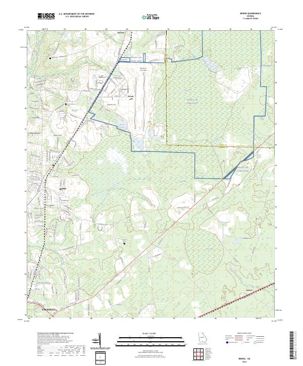 2024 Bemiss2024 Print · USGSThe northern reaches of Lowndes County are captured here in the early 2020s, centered on the strategic aviation hub at Moody Air Force Base. Genealogists can trace family landmarks and local burial sites like Hightower Cem, Antioch Cem, and the old settlement at Bemiss.
 - 2024 Map of Stockton, 2024 Print
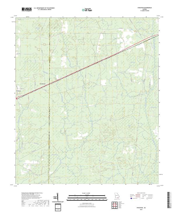 2024 Stockton2024 Print · USGSCoastal plain wetlands and small rural settlements define this Lanier and Clinch County borderland in the early 2020s. Researchers can trace land use patterns around Stockton and Greenwood or locate family-named features like Lightsey Bay and Timmerman Bay.
 - 2024 Map of Naylor, 2024 Print
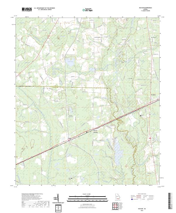 2024 Naylor2024 Print · USGSThe borderlands of Lowndes and Lanier counties come to life in this modern survey of the South Georgia coastal plain. Genealogists can locate family landmarks like Sweet Prospect Cem and James Cem, while tracing the rural routes connecting Naylor and Stockton.
 - 2024 Map of Sirmans, 2024 Print
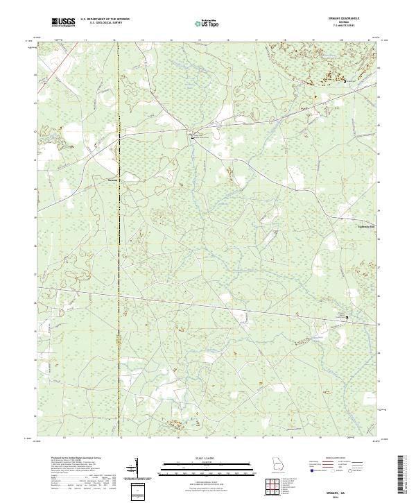 2024 Sirmans2024 Print · USGSThe Georgia borderlands of Clinch and Lanier counties are shown in this modern survey of timberlands and wetlands. Genealogists can locate family landmarks at the Camp Creek Baptist Church Cem, Arabia Cem, and the settlement of Sirmans.
End of results
Showing maps 1-22 of 22
Top cities of Lanier County
Frequently asked questions
- What are the different types of historical maps available for Lanier County?
- What is the oldest map of Lanier County?
- Where can I purchase historical maps of Lanier County for my home or office?
- Where can I download high-res historical maps of Lanier County?
- Are there historical topographic maps available for Lanier County?
- Is there historical aerial imagery available for Lanier County?
- Where are historical maps of Lanier County sourced from?