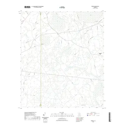
2020 Map of Sirmans
USGS Topo · Published 2020About this map
Sirmans sits at the intersection of local history and the sprawling wetlands of the Georgia coastal plain. This landscape is defined by its numerous "bays" and swampy lowlands, including Devils Bay, Bear Bay, and the extensive Arabia Swamp in the north. The drainage network is particularly dense here, featuring Suwannoochee Cr and several of its tributaries like Walker Cr and Fish Br.
Find a feature on this map
58 named features on this map. Tap any name to fly to it.
Don’t see what you’re looking for? This feature index may not catch every label — zoom into the map to look around manually.
Map Details
Editions of this 2020 Sirmans Map
This is the sole edition of this map. No revisions or reprints were ever made.
Other maps of this area

1953 · Waycross
USGS Topo · 1:250,000

1954 · Valdosta
USGS Topo · 1:250,000

1958 · Valdosta
USGS Topo · 1:250,000

1958 · Waycross
USGS Topo · 1:250,000

1959 · Valdosta
USGS Topo · 1:250,000

1968 · Naylor
USGS Topo · 1:24,000

1968 · Lakeland
USGS Topo · 1:24,000

1971 · Du Pont
USGS Topo · 1:24,000

1971 · Stockton
USGS Topo · 1:24,000

1972 · Sirmans
USGS Topo · 1:24,000