1968 Map of Lakeland
USGS Topo · Published 1971About this map
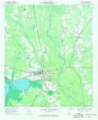
Lakeland serves as the focal point of this Lanier County landscape, situated at a junction of roads and water where the Alapaha River meanders through the eastern wetlands. The town's civic importance is marked by the central Courthouse, while the community’s social infrastructure is reflected in landmarks like Smith Hospital and the Lanier County High School. To the west, the massive expanse of Banks Lake and its Milltown Bay transition into the Lightsey Hammock and Pine Islands, illustrating the watery geography that has long shaped movement and settlement in this part of Georgia.
Find a feature on this map
32 named features on this map. Tap any name to fly to it.
Don’t see what you’re looking for? This feature index may not catch every label — zoom into the map to look around manually.
Map Details
Editions of this 1968 Lakeland Map
This is the sole edition of this map. No revisions or reprints were ever made.
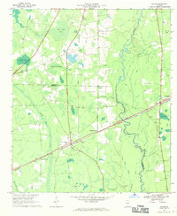
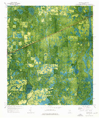
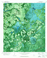
Other maps of this area

1953 · Waycross
USGS Topo · 1:250,000

1954 · Valdosta
USGS Topo · 1:250,000

1958 · Valdosta
USGS Topo · 1:250,000

1958 · Waycross
USGS Topo · 1:250,000

1959 · Valdosta
USGS Topo · 1:250,000
1968 · Naylor
USGS Topo · 1:24,000
1971 · Stockton
USGS Topo · 1:24,000
1971 · Bemiss
USGS Topo · 1:24,000
1972 · Sirmans
USGS Topo · 1:24,000
1972 · Henderson Still
USGS Topo · 1:24,000