Old Maps of Lanier County, Georgia for Metal Detecting
Plan your next treasure hunt with 77 historic maps of Lanier County. Find old homesites, ghost towns, trails, and gathering spots that may be lost to time — perfect for identifying promising metal detecting locations.
- Locate forgotten sites: Uncover places like long-lost settlements, abandoned rail lines, or gathering spots.
- Plan better hunts: Use map overlays combined with LiDAR or satellite views to narrow in on historically rich areas.
- Made for detectorists: Thousands of hobbyists use these maps to discover relics, coins, and hidden history.
Use these historic maps to boost your research and find new opportunities beneath the surface of Lanier County.
Lanier County, GA maps
(77)- 1953 Map of Waycross, 1967 Print
 1953 Waycross1967 Print · USGSSouth Georgia's agricultural and rail heartland is captured here in the mid-1950s, showing a vast network of timber and farming towns. Researchers can trace the rail lines connecting Waycross and Tifton or locate landmarks like Jefferson Davis State Park and Lake Blackshear.2 unique versions available
 - 1954 Map of Valdosta, 1967 Print
 1954 Valdosta1967 Print · USGSThe South Georgia and North Florida borderlands are captured here in the mid-fifties, showing the deep timber and wetland networks of the coastal plain. Researchers can trace the path of the Atlantic Coast Line through Valdosta or explore the interior of the Okefenokee Swamp.2 unique versions available
 - 1958 Map of Valdosta
 1958 Valdosta1958 Print · USGSSouth Georgia and North Florida are captured here in the mid-fifties, showing the vast Okefenokee Swamp and the vital timber and rail corridors connecting the two states. Researchers can locate the footprint of Moody Air Force Base, trace the Live Oak Perry and Gulf railroad, or find early community sites like Bakers Mill and Paradise Church.
 - 1958 Map of Waycross
 1958 Waycross1958 Print · USGSSoutheast Georgia in the late fifties remains a landscape of deep river basins and vital rail junctions. Genealogists and historians can trace family-named landmarks and rural hubs like Union Church, South Georgia College, and the sprawling Okefenokee Swamp.2 unique versions available
 - 1959 Map of Valdosta
 1959 Valdosta1959 Print · USGSThe Georgia-Florida borderlands in the mid-fifties reveal a landscape of massive blackwater swamps and emerging military aviation hubs. Genealogists and historians can trace rail-stop towns like Fargo and Stockton or explore the interior reaches of the Okefenokee Swamp and Billys Island.
 - 1968 Map of Naylor, 1971 Print
 1968 Naylor1971 Print · USGSThe borderlands of Lowndes and Lanier counties are captured here in the late sixties, where the railroad and river define the rural pace of life. Genealogists and local historians can locate St Marys Ch, the community at Naylor, and Foreman Cem.3 unique versions available
 - 1968 Map of Lakeland, 1971 Print
 1968 Lakeland1971 Print · USGSLanier County comes into focus in the late sixties as the town of Lakeland anchors a landscape of river bends and pine islands. Researchers can trace the civic heart of the county at the Courthouse or locate rural landmarks like Union Church and Lovejoy Cemetery.
 - 1971 Map of Howell, 1976 Print
 1971 Howell1976 Print · USGSEchols and Lowndes County landscapes are captured in the early 1970s, showing the rural communities along the Georgia Southern and Florida Railway. Local historians can trace family sites at Macedonia Cem and Wayfare Ch near the banks of the Alapaha River.
 - 1971 Map of Stockton, 1976 Print
 1971 Stockton1976 Print · USGSStockton and the surrounding Georgia wetlands are captured here in the early seventies as the railroad still dictated the local geography. Researchers can find New Prospect Ch and trace the many family-named depressions like Epsey Bay and Lightsey Bay.
 - 1971 Map of Bemiss, 1976 Print
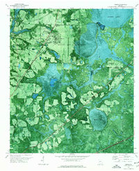 1971 Bemiss1976 Print · USGSLowndes County enters the early seventies as a hub of military aviation and rural southern tradition. Trace the development around Moody Air Force Base or locate family roots at Antioch Cem and schools like Pine Grove Sch.
 - 1971 Map of Haylow, 1976 Print
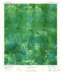 1971 Haylow1976 Print · USGSRailroad crossroads and extensive wetlands define this south Georgia landscape in the early 1970s. Genealogists and local historians can trace rail-side settlements like Haylow and Withers or locate family landmarks near Boggy Bay and Sasser Lake.
 - 1972 Map of Sirmans, 1977 Print
 1972 Sirmans1977 Print · USGSClinch and Lanier Counties are shown in the early seventies, capturing a landscape of cypress bays and small rural outposts. Researchers can trace family roots at Arabia Cem or locate community centers like Eightmile Still and St Marks Ch.2 unique versions available
 - 1972 Map of Henderson Still, 1987 Print
 1972 Henderson Still1987 Print · USGSThe Georgia wiregrass and pine flatwoods come alive in the early 1970s at the meeting point of Atkinson, Clinch, and Lanier counties. Genealogists and local historians can locate remote landmarks like Ozias Ch, Henderson Still, and the distinctive Fifty Dollar Bay.
 - 1977 Map of Hastings Fish Pond
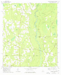 1977 Hastings Fish Pond1977 Print · USGSBerrien and Lanier counties come together along the winding Alapaha River in the late 1970s. Local researchers can trace family landmarks and community centers like Patten, Trinity Ch, and the waters of Hastings Fish Pond.
 - 1978 Map of Nashville East
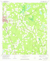 1978 Nashville East1978 Print · USGSNashville and the surrounding Berrien County countryside are captured here in the late 1970s as agricultural life and modern infrastructure intersected. Researchers can trace family sites at Gaskins Cem and Irene Ch or locate the old Central of Georgia rail corridor.
 - 1978 Map of Henderson Still
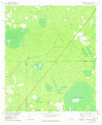 1978 Henderson Still1978 Print · USGSThe rural borderlands of Atkinson and Clinch Counties come into focus during the late 1970s, showing a landscape defined by expansive swamps and bays. You can trace the roads leading to Henderson Still or locate local landmarks like Ozias Ch and Fifty Dollar Bay.
 - 1978 Map of Ray City
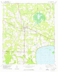 1978 Ray City1978 Print · USGSRay City and its surrounding pine-and-water landscape are captured here in the late 1970s at the junction of two major railroads. Researchers can trace local heritage through landmarks like Knight Mem Ch, the shores of Banks Lake, and the small settlement at Barretts.
 - 1978 Map of Waycross, 1982 Print
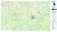 1978 Waycross1982 Print · USGSSoutheast Georgia in the late seventies is a landscape of vast wetlands and busy rail junctions. Genealogists and local historians can trace the Seaboard Coast Line through rural stops like Millwood and Pearson or locate family sites near the Okefenokee Swamp.
 - 1979 Map of Moultrie, 1980 Print
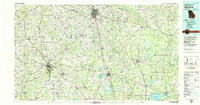 1979 Moultrie1980 Print · USGSSouth Georgia’s agricultural heartland is documented here in the late 1970s, showcasing the intricate rail and river networks of Colquitt and Tift Counties. Researchers can trace historic settlements along the Georgia Northern railroad or locate landmarks like Spence Air Force Auxiliary Field and Banks Lake.2 unique versions available
 - 1980 Map of Okefenokee Swamp, 1981 Print
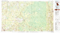 1980 Okefenokee Swamp1981 Print · USGSThe Georgia-Florida borderlands come to life in the early 1980s, centered on the immense wilderness of the Okefenokee Swamp. Genealogists and historians can trace rail-stop settlements like Fargo and Fruitland or explore the interior geography of Billys Island and Trail Ridge.
 - 1981 Map of Valdosta
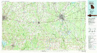 1981 Valdosta1981 Print · USGSCrossing the Georgia and Florida border in the early eighties, this survey captures the agricultural and military landscape of the coastal plain. Genealogists and historians can trace the rail-linked growth of Valdosta and Quitman or find rural landmarks like New Hope Church and Lake Miccosukee.
 - 1988 Map of Waycross
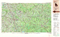 1988 Waycross1988 Print · USGSSouth Georgia's wiregrass and timber country is documented here in the late eighties, centered on the vital rail junction of Waycross. Genealogists and historians can trace the rural landscape from Okefenokee up to the Ocmulgee, finding sites like Lumber City and Jefferson Davis Memorial State Park.
 - 2011 Map of Howell, 2011 Print
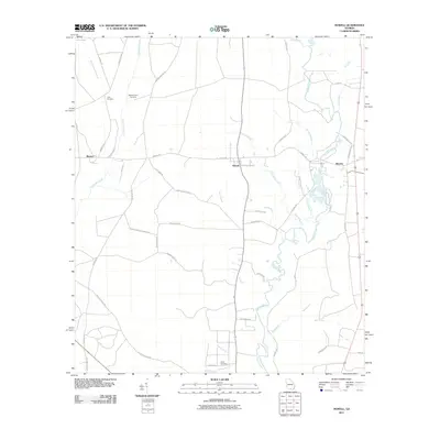 2011 Howell2011 Print · USGSIn the early twenty-first century, the Alapaha River country of south Georgia remains a land of quiet rural settlements and family legacies. Genealogists and historians can trace local roots through sites like Unity Cemetery, Wetherington Cemetery, and the community at Howell.
 - 2011 Map of Bemiss, 2011 Print
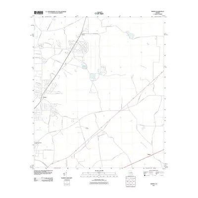 2011 Bemiss2011 Print · USGSLowndes County rural life and community centers are documented here in the early 21st century. Genealogists can trace family connections through sites like Antioch Cemetery or follow the waters of Grand Bay Creek and Mission Pond.
 - 2011 Map of Naylor, 2011 Print
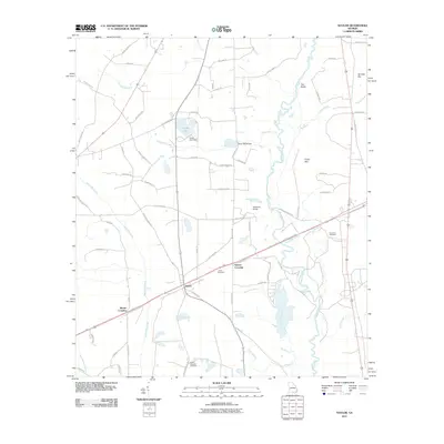 2011 Naylor2011 Print · USGSSouth Georgia river life and rural junctions take center stage in this 2011 survey of the Lowndes County landscape. Genealogists and local historians can trace family roots through the James Cemetery or locate old crossings at Greens Crossing and Monks Crossing.
Showing maps 1-25 of 77
Top cities of Lanier County
Frequently asked questions
- What are the different types of historical maps available for Lanier County?
- What is the oldest map of Lanier County?
- Where can I purchase historical maps of Lanier County for my home or office?
- Where can I download high-res historical maps of Lanier County?
- Are there historical topographic maps available for Lanier County?
- Is there historical aerial imagery available for Lanier County?
- Where are historical maps of Lanier County sourced from?