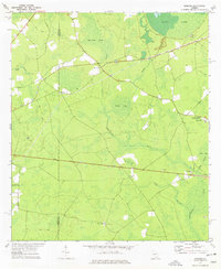
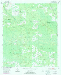
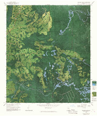
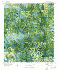
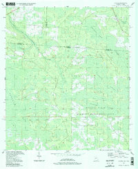
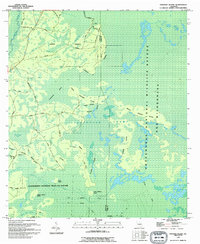
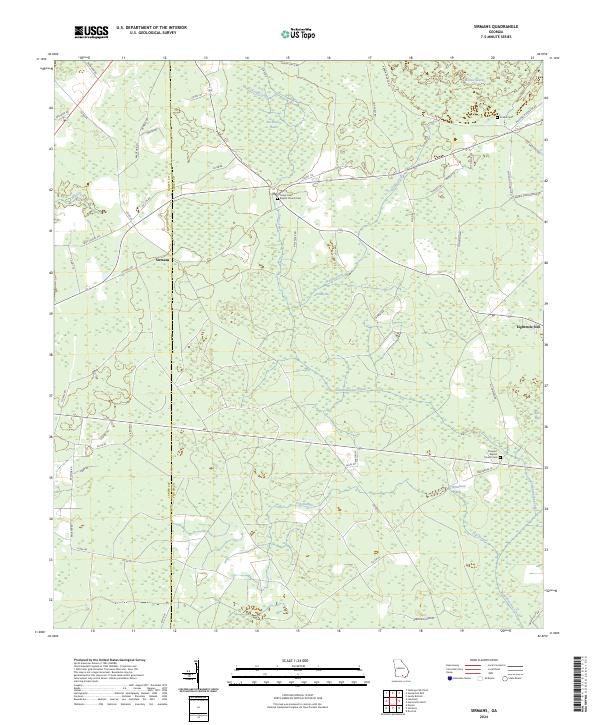
1972 Map of Sirmans
USGS Topo · Published 1977This historical map portrays the area of Sirmans in 1972, primarily covering Clinch County as well as portions of Lanier County. Featuring a scale of 1:24000, this map provides a highly detailed snapshot of the terrain, roads, buildings, counties, and historical landmarks in the Sirmans region at the time. Published in 1977, it is one of 2 known editions of this map due to revisions or reprints.
Find a feature on this map
26 named features on this map. Tap any name to fly to it.
Don’t see what you’re looking for? This feature index may not catch every label — zoom into the map to look around manually.
Map Details
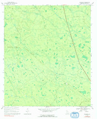
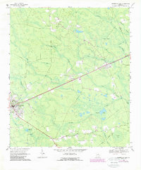
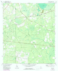
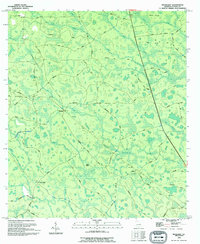
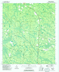
Editions of this 1972 Sirmans Map
2 editions found
Historical Maps of Lanier County Through Time
28 maps found
1955 Council
Clinch County, GA
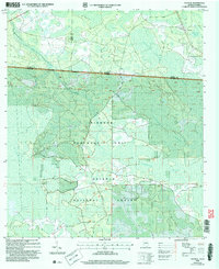
1967 Colon
Clinch County, GA
1967 Spooner
Clinch County, GA
1967 Strange Island
Clinch County, GA
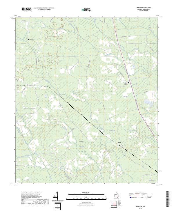
1968 Headlight
Clinch County, GA
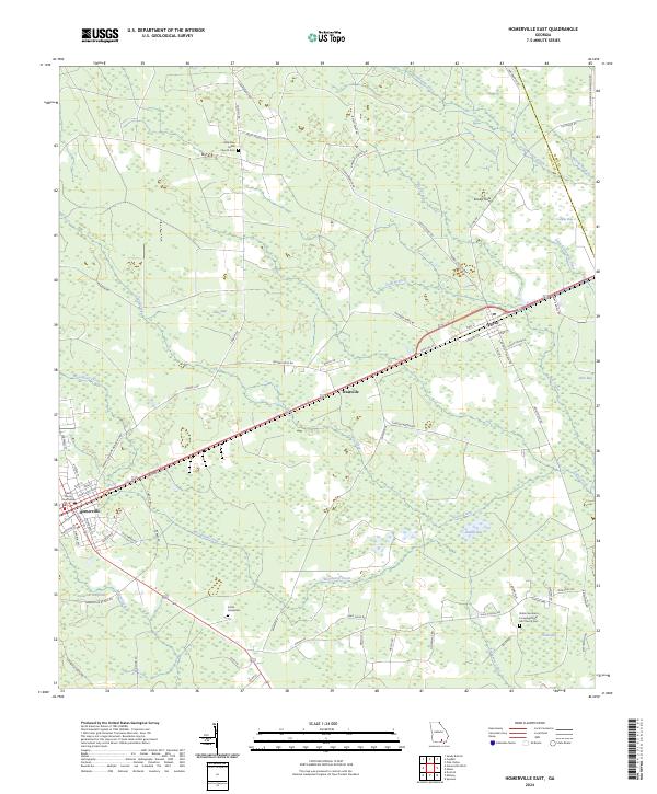
1968 Homerville East
Clinch County, GA
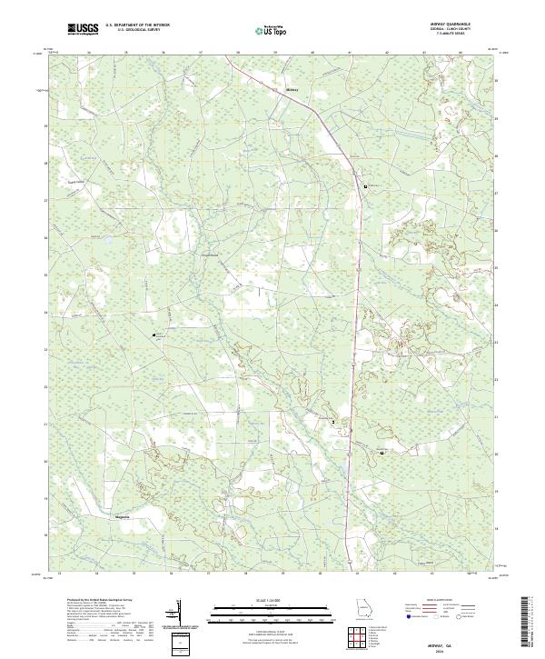
1968 Midway
Clinch County, GA
1971 Thelma
Clinch County, GA
1972 Sirmans
Clinch County, GA
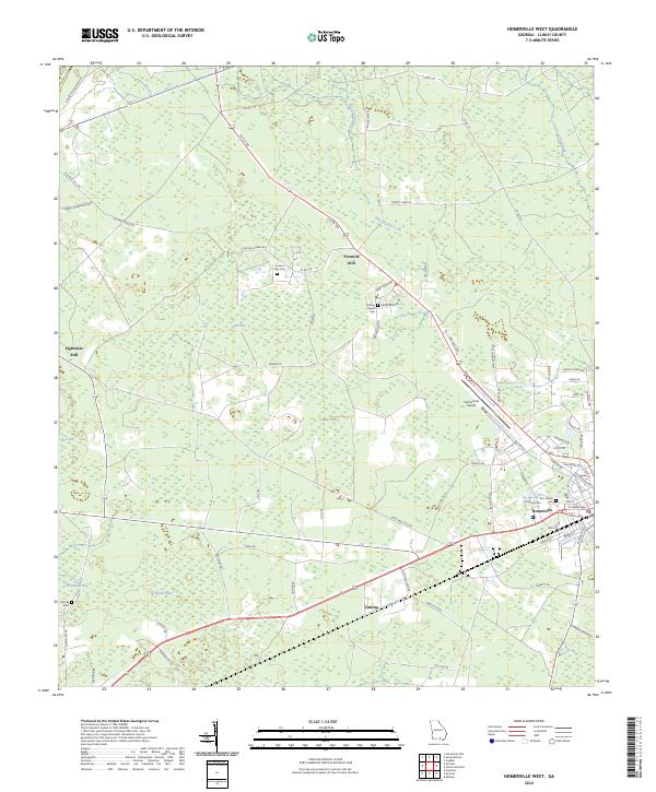
1978 Homerville West
Clinch County, GA

1980 Okefenokee Swamp
Clinch County, GA
1994 Colon
Clinch County, GA
1994 Council
Clinch County, GA
1994 Headlight
Clinch County, GA
1994 Midway
Clinch County, GA
1994 Spooner
Clinch County, GA
1994 Strange Island
Clinch County, GA
2006 Council
Clinch County, GA
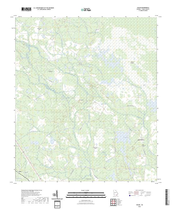
2024 Colon
Clinch County, GA
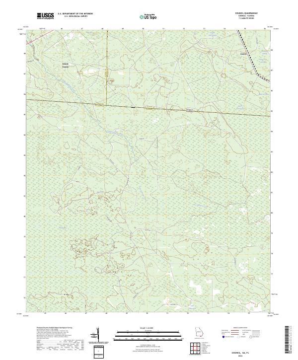
2024 Council
Clinch County, GA
2024 Headlight
Clinch County, GA
2024 Homerville East
Clinch County, GA
2024 Homerville West
Clinch County, GA
2024 Midway
Clinch County, GA
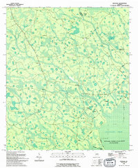
2024 Sirmans
Clinch County, GA
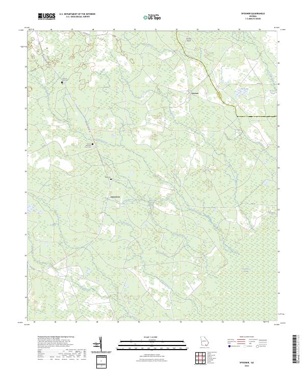
2024 Spooner
Clinch County, GA
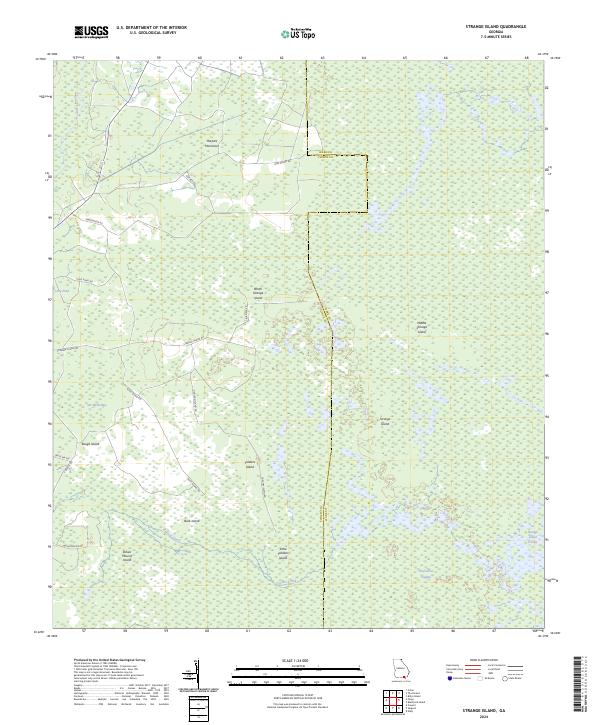
2024 Strange Island
Clinch County, GA
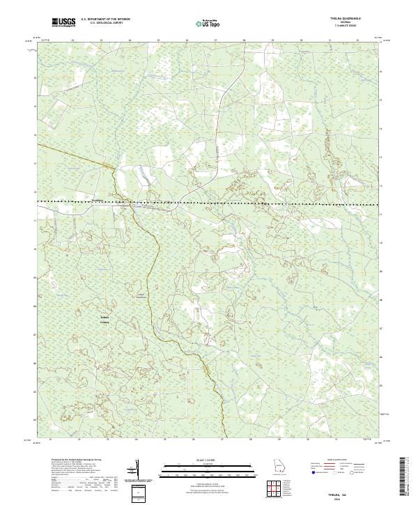
2024 Thelma
Clinch County, GA