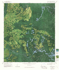
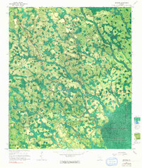
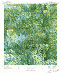
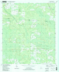
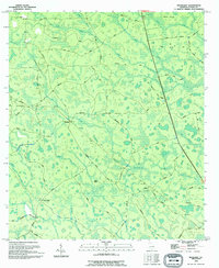
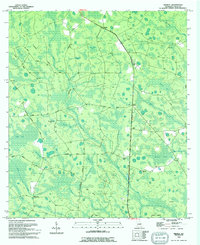
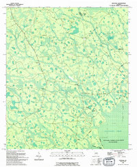
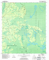
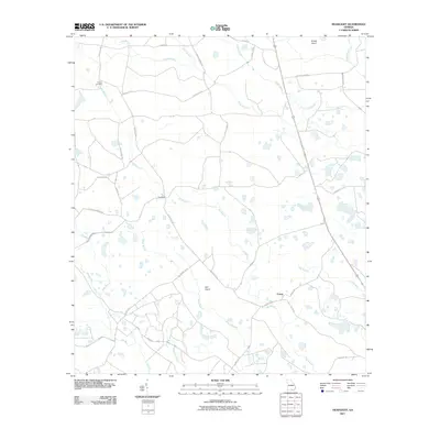
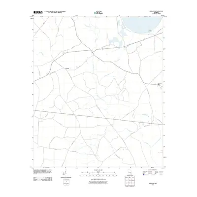
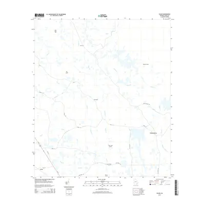
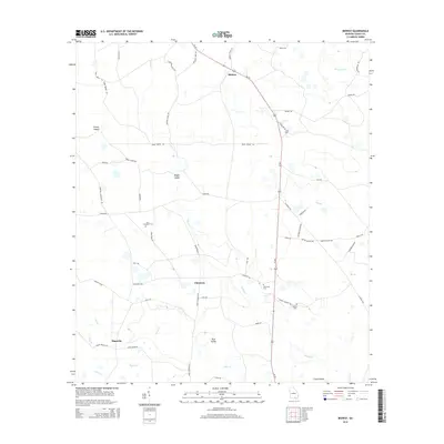
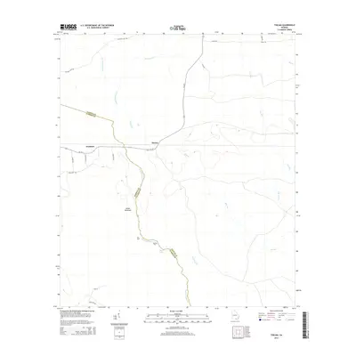
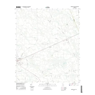
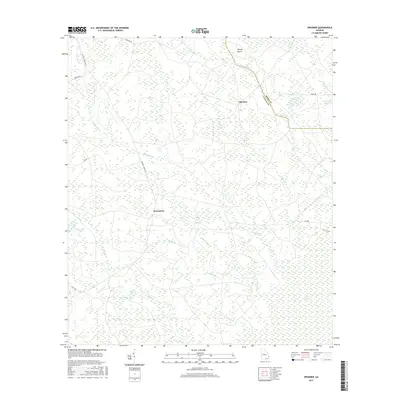
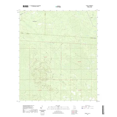
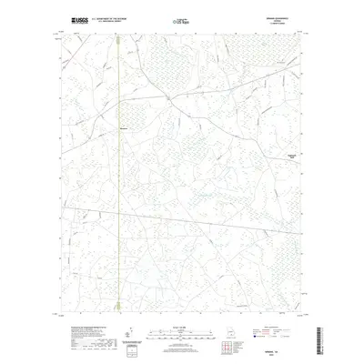
1967 Map of Strange Island
USGS Topo · Published 1967About this map
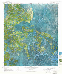
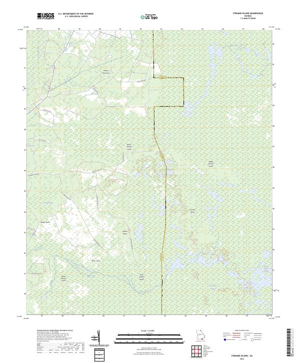
Okefenokee National Wildlife Refuge dominates this topographic photomosaic, revealing the intricate water-and-island geography of the Georgia wetlands in the late 1960s. The terrain is characterized by "islands"—slightly elevated tracts of land—such as North Strange Island, Middle Strange Island, and Strange Island, which are interspersed among deep swamp bays and slow-moving water bodies like Sweetwater Creek and the headwaters of the Suwannee River.
Find a feature on this map
20 named features on this map. Tap any name to fly to it.
Don’t see what you’re looking for? This feature index may not catch every label — zoom into the map to look around manually.
Map Details
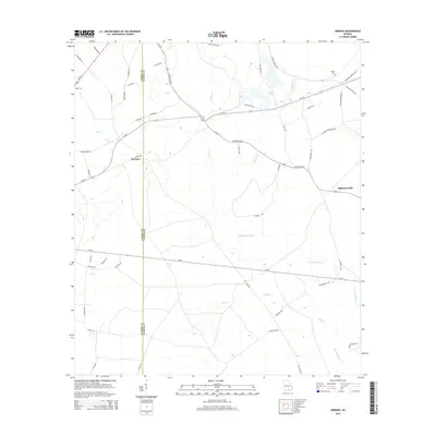
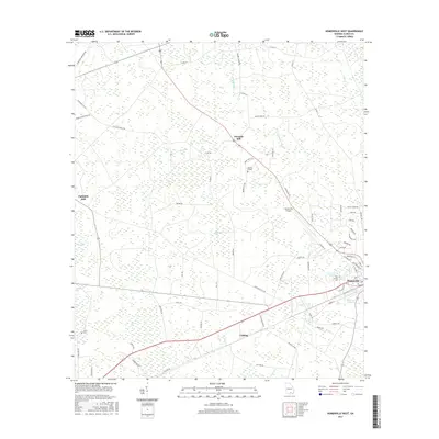
Editions of this 1967 Strange Island Map
2 editions found
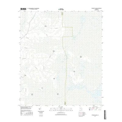
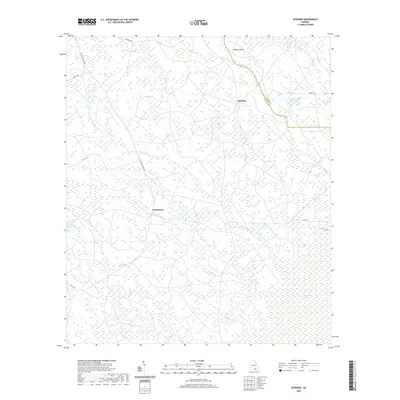
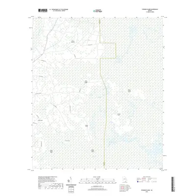
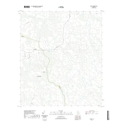
Historical Maps of Ware County Through Time
68 maps found
1955 Council
Clinch County, GA
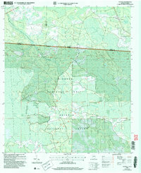
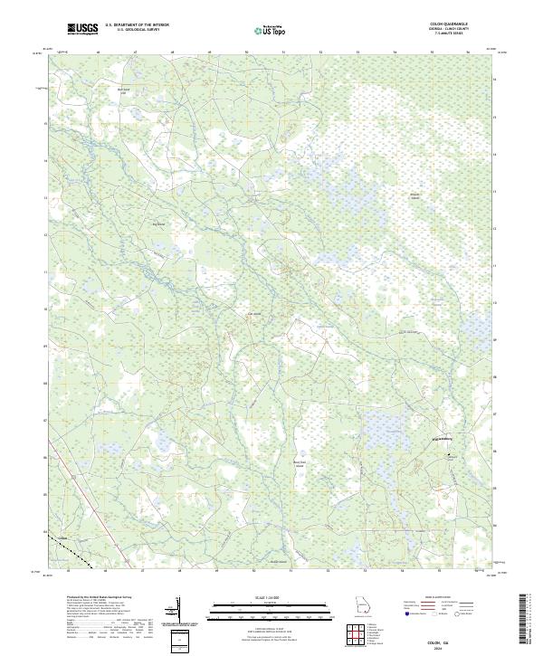
1967 Colon
Clinch County, GA
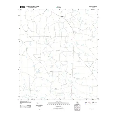
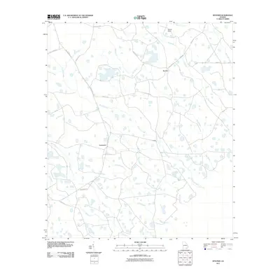
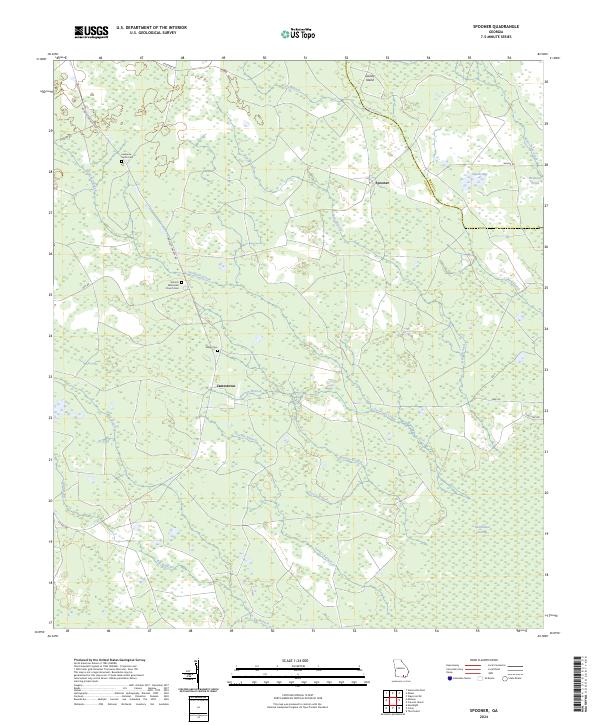
1967 Spooner
Clinch County, GA
1967 Strange Island
Clinch County, GA
1968 Headlight
Clinch County, GA
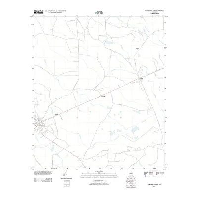
1968 Homerville East
Clinch County, GA
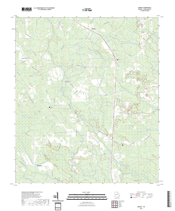
1968 Midway
Clinch County, GA
1971 Thelma
Clinch County, GA
1972 Sirmans
Clinch County, GA
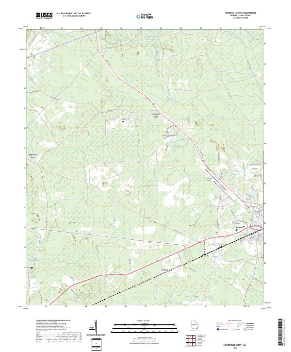
1978 Homerville West
Clinch County, GA

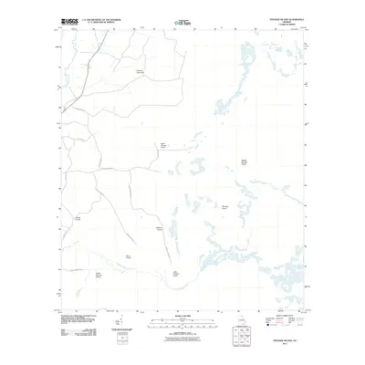
1980 Okefenokee Swamp
Clinch County, GA
1994 Colon
Clinch County, GA
1994 Council
Clinch County, GA
1994 Headlight
Clinch County, GA
1994 Midway
Clinch County, GA
1994 Spooner
Clinch County, GA
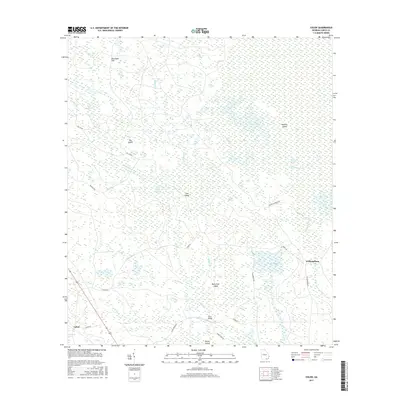
1994 Strange Island
Clinch County, GA
2006 Council
Clinch County, GA
2011 Colon
Clinch County, GA
2011 Council
Clinch County, GA
2011 Headlight
Clinch County, GA
2011 Homerville East
Clinch County, GA
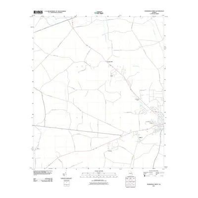
2011 Homerville West
Clinch County, GA
2011 Midway
Clinch County, GA
2011 Sirmans
Clinch County, GA
2011 Spooner
Clinch County, GA
2011 Strange Island
Clinch County, GA
2011 Thelma
Clinch County, GA
2014 Colon
Clinch County, GA
2014 Council
Clinch County, GA
2014 Headlight
Clinch County, GA

2014 Homerville East
Clinch County, GA
2014 Homerville West
Clinch County, GA
2014 Midway
Clinch County, GA
2014 Sirmans
Clinch County, GA
2014 Spooner
Clinch County, GA
2014 Strange Island
Clinch County, GA
2014 Thelma
Clinch County, GA
2017 Colon
Clinch County, GA
2017 Council
Clinch County, GA
2017 Headlight
Clinch County, GA
2017 Homerville East
Clinch County, GA
2017 Homerville West
Clinch County, GA
2017 Midway
Clinch County, GA
2017 Sirmans
Clinch County, GA
2017 Spooner
Clinch County, GA
2017 Strange Island
Clinch County, GA
2017 Thelma
Clinch County, GA
2020 Colon
Clinch County, GA
2020 Council
Clinch County, GA
2020 Headlight
Clinch County, GA

2020 Homerville East
Clinch County, GA
2020 Homerville West
Clinch County, GA
2020 Midway
Clinch County, GA
2020 Sirmans
Clinch County, GA
2020 Spooner
Clinch County, GA
2020 Strange Island
Clinch County, GA
2020 Thelma
Clinch County, GA
2024 Colon
Clinch County, GA
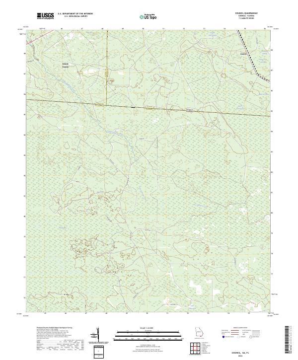
2024 Council
Clinch County, GA
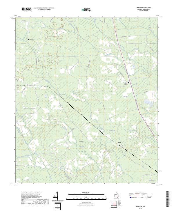
2024 Headlight
Clinch County, GA
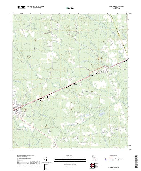
2024 Homerville East
Clinch County, GA
2024 Homerville West
Clinch County, GA
2024 Midway
Clinch County, GA
2024 Sirmans
Clinch County, GA
2024 Spooner
Clinch County, GA
2024 Strange Island
Clinch County, GA
2024 Thelma
Clinch County, GA