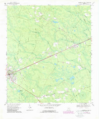
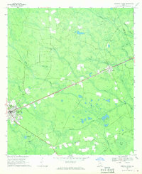
1968 Map of Homerville East
USGS Topo · Published 1988About this map
Homerville serves as the western anchor of this landscape, where the Atlantic Coast Line railroad tracks run straight through the heart of the community toward Argyle and Travisville. This era in Clinch County is defined by a dense network of swampy bays and slow-moving branches, including the broad Devils Bay and Isaac Bay. These natural features dictated the placement of early roads like Peagler Road and Surveyors Road, which skirt the edges of the wetlands. Rural life is anchored by local congregations at New Pine Grove Ch and Shiloh Ch, while industrial and agricultural history is visible at the Diekerson Millpond on Millpond Creek. The map documents a period where traditional timber and naval stores landscapes, noted by the Woodyard, met the modernization of municipal services like the local Sewage Disposal facility.
Find a feature on this map
39 named features on this map. Tap any name to fly to it.
Don’t see what you’re looking for? This feature index may not catch every label — zoom into the map to look around manually.
Map Details
Editions of this 1968 Homerville East Map
Other maps of this area

1953 · Waycross
USGS Topo · 1:250,000

1954 · Valdosta
USGS Topo · 1:250,000

1958 · Valdosta
USGS Topo · 1:250,000

1958 · Waycross
USGS Topo · 1:250,000

1959 · Valdosta
USGS Topo · 1:250,000

1967 · Spooner
USGS Topo · 1:24,000

1967 · Pine Valley
USGS Topo · 1:24,000

1968 · Homerville East
USGS Topo · 1:24,000

1968 · Midway
USGS Topo · 1:24,000

1968 · Manor
USGS Topo · 1:24,000