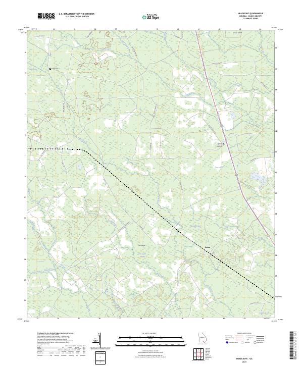
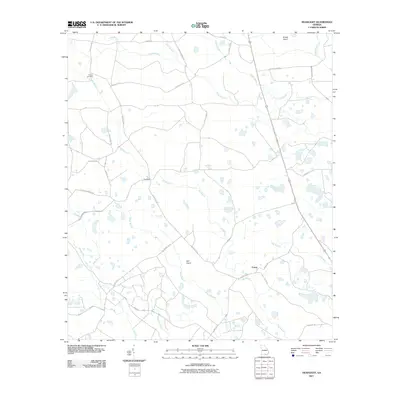
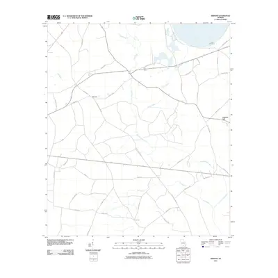
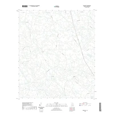
2024 Map of Headlight
USGS Topo · Published 2024About this map
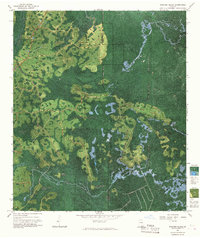
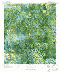
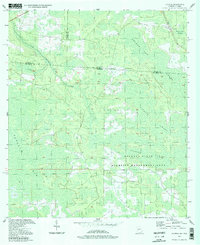
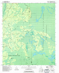
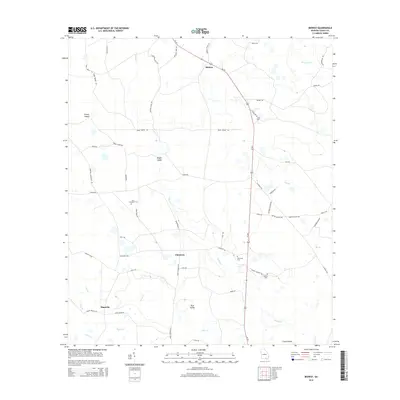
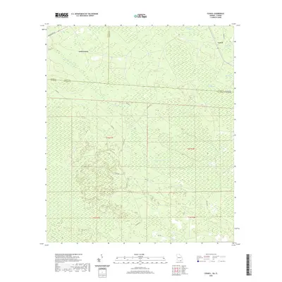
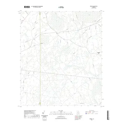
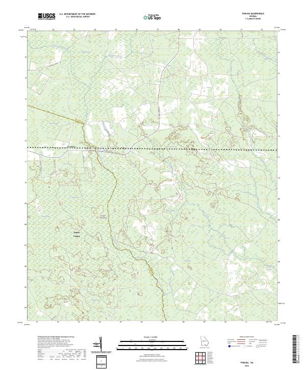
Ernest sits as a quiet landmark in this corner of Clinch County, where the landscape is defined by the complex drainage of the Okefenokee margin. The terrain is a network of "bays" and "islands"—not islands in the sea, but elevated ground surrounded by wetlands like Cart Island Swamp and McGarrity Bay. These features, including Crews Island and Big Island, represent the unique topography of south Georgia where subtle changes in elevation dictate settlement and travel.
Find a feature on this map
37 named features on this map. Tap any name to fly to it.
Don’t see what you’re looking for? This feature index may not catch every label — zoom into the map to look around manually.
Map Details
Editions of this 2024 Headlight Map
This is the sole edition of this map. No revisions or reprints were ever made.
Historical Maps of Ernest Through Time
68 maps found
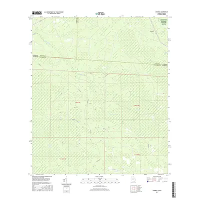
1955 Council
Clinch County, GA
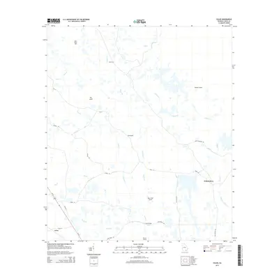
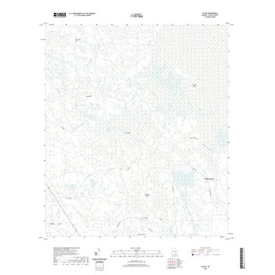
1967 Colon
Clinch County, GA
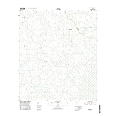
1967 Spooner
Clinch County, GA
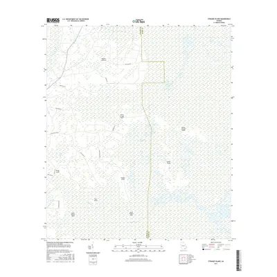
1967 Strange Island
Clinch County, GA
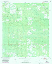
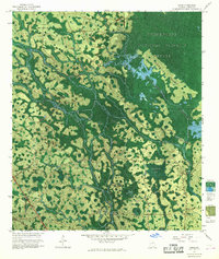
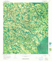
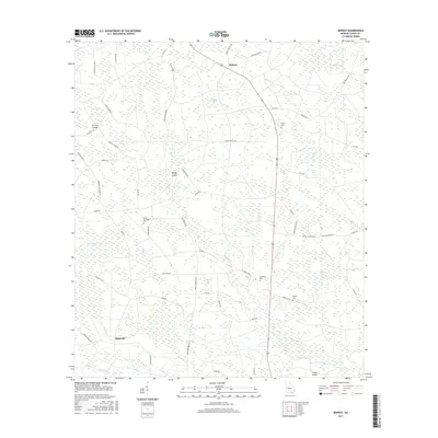
1968 Headlight
Clinch County, GA
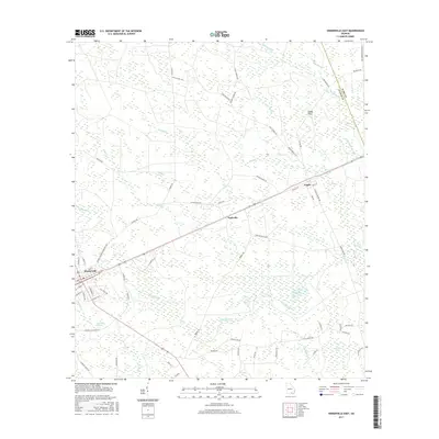
1968 Homerville East
Clinch County, GA
1968 Midway
Clinch County, GA
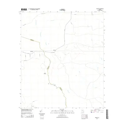
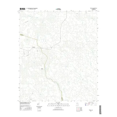
1971 Thelma
Clinch County, GA
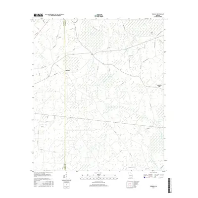
1972 Sirmans
Clinch County, GA
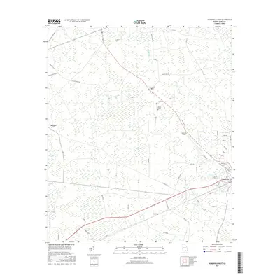
1978 Homerville West
Clinch County, GA

1980 Okefenokee Swamp
Clinch County, GA
1994 Colon
Clinch County, GA
1994 Council
Clinch County, GA
1994 Headlight
Clinch County, GA
1994 Midway
Clinch County, GA
1994 Spooner
Clinch County, GA
1994 Strange Island
Clinch County, GA
2006 Council
Clinch County, GA
2011 Colon
Clinch County, GA
2011 Council
Clinch County, GA
2011 Headlight
Clinch County, GA
2011 Homerville East
Clinch County, GA
2011 Homerville West
Clinch County, GA
2011 Midway
Clinch County, GA
2011 Sirmans
Clinch County, GA
2011 Spooner
Clinch County, GA
2011 Strange Island
Clinch County, GA
2011 Thelma
Clinch County, GA
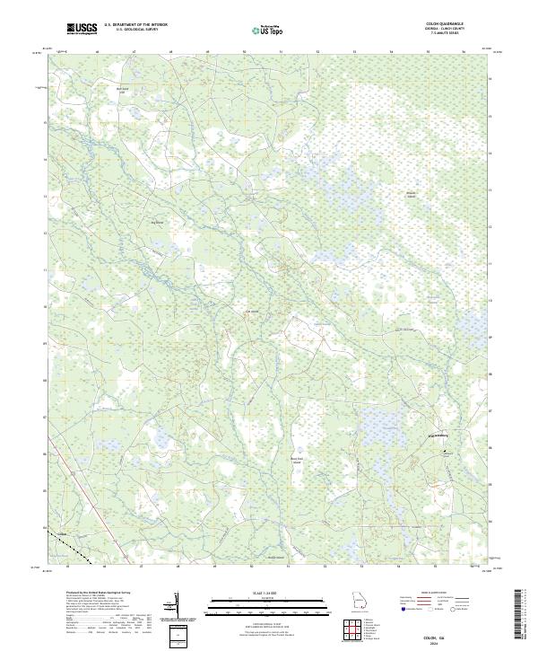
2014 Colon
Clinch County, GA
2014 Council
Clinch County, GA
2014 Headlight
Clinch County, GA

2014 Homerville East
Clinch County, GA
2014 Homerville West
Clinch County, GA
2014 Midway
Clinch County, GA
2014 Sirmans
Clinch County, GA
2014 Spooner
Clinch County, GA
2014 Strange Island
Clinch County, GA
2014 Thelma
Clinch County, GA
2017 Colon
Clinch County, GA
2017 Council
Clinch County, GA
2017 Headlight
Clinch County, GA
2017 Homerville East
Clinch County, GA
2017 Homerville West
Clinch County, GA
2017 Midway
Clinch County, GA
2017 Sirmans
Clinch County, GA
2017 Spooner
Clinch County, GA
2017 Strange Island
Clinch County, GA
2017 Thelma
Clinch County, GA
2020 Colon
Clinch County, GA
2020 Council
Clinch County, GA
2020 Headlight
Clinch County, GA

2020 Homerville East
Clinch County, GA
2020 Homerville West
Clinch County, GA
2020 Midway
Clinch County, GA
2020 Sirmans
Clinch County, GA
2020 Spooner
Clinch County, GA
2020 Strange Island
Clinch County, GA
2020 Thelma
Clinch County, GA
2024 Colon
Clinch County, GA
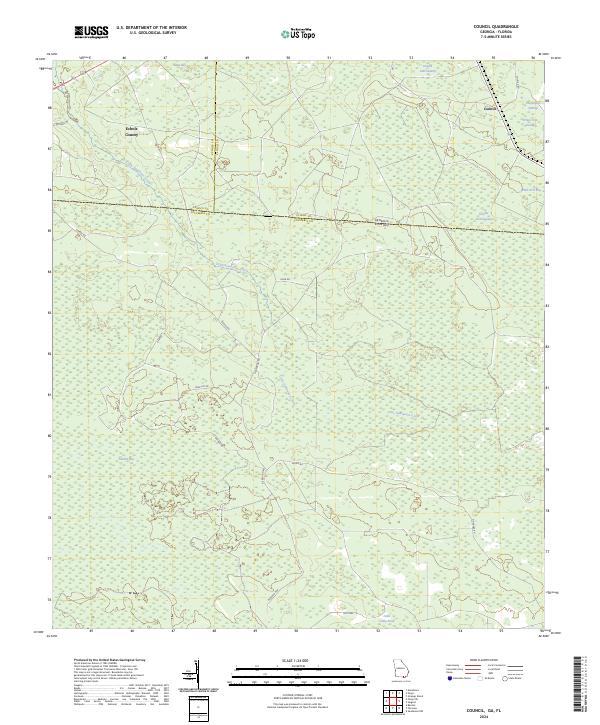
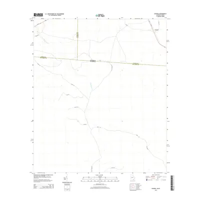
2024 Council
Clinch County, GA
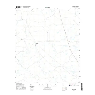
2024 Headlight
Clinch County, GA
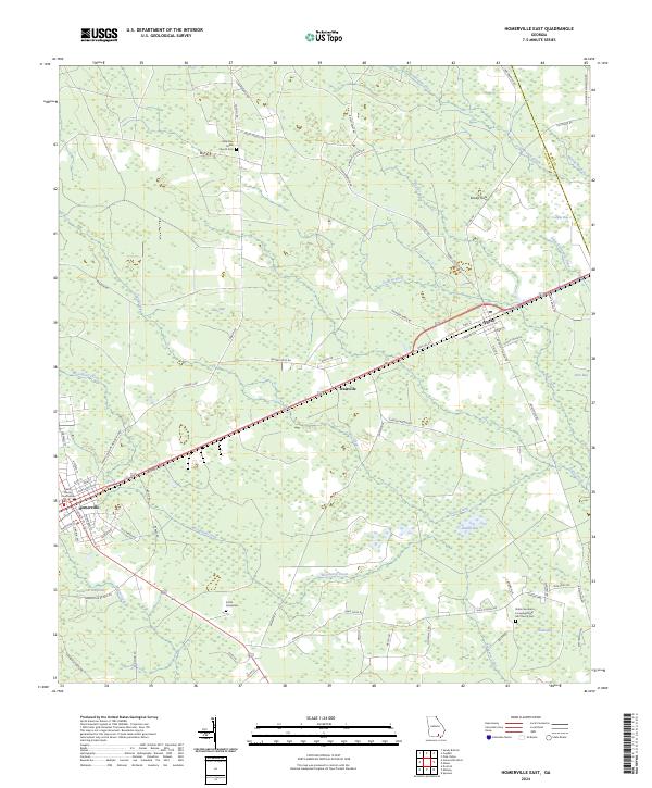
2024 Homerville East
Clinch County, GA
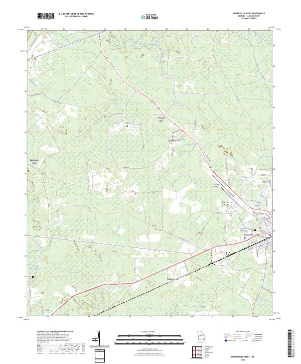
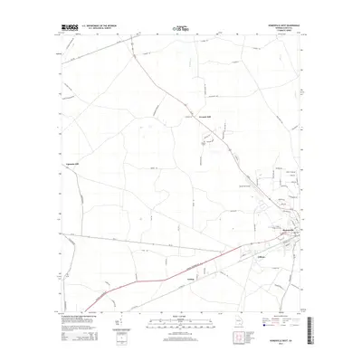
2024 Homerville West
Clinch County, GA
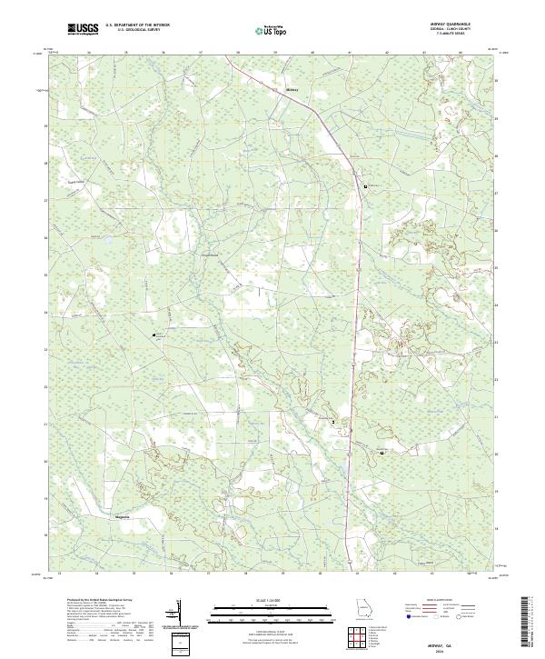
2024 Midway
Clinch County, GA
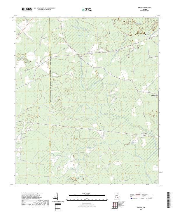
2024 Sirmans
Clinch County, GA
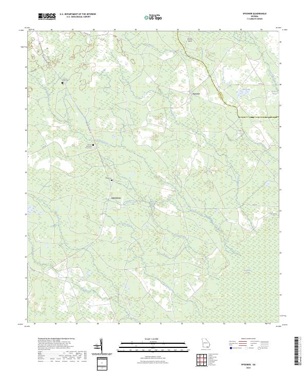
2024 Spooner
Clinch County, GA
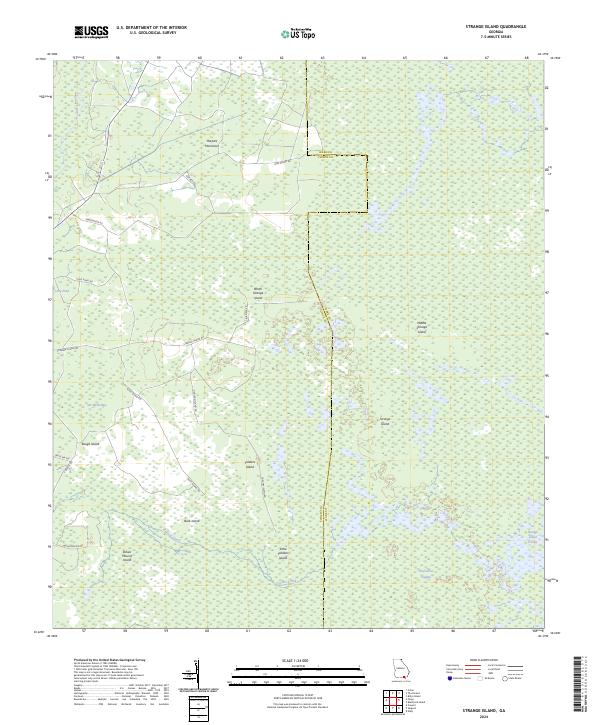
2024 Strange Island
Clinch County, GA
2024 Thelma
Clinch County, GA