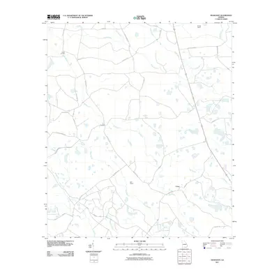
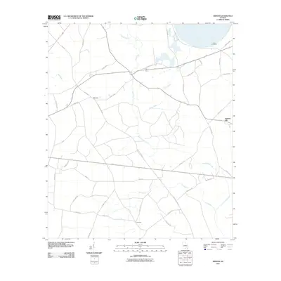
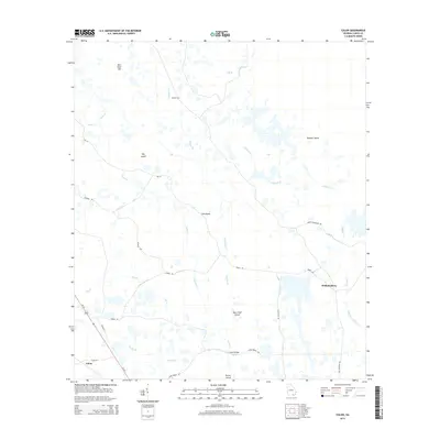
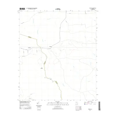
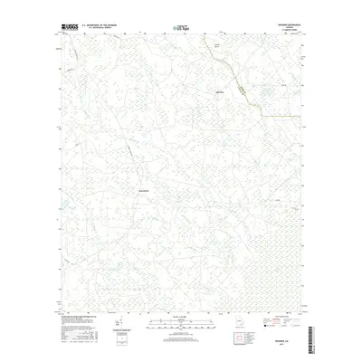
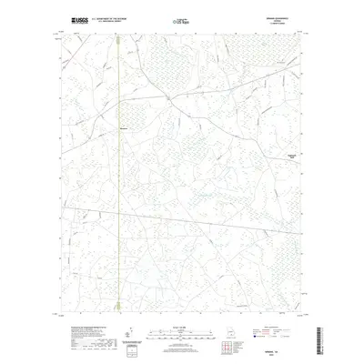
2024 Map of Thelma
USGS Topo · Published 2024About this map
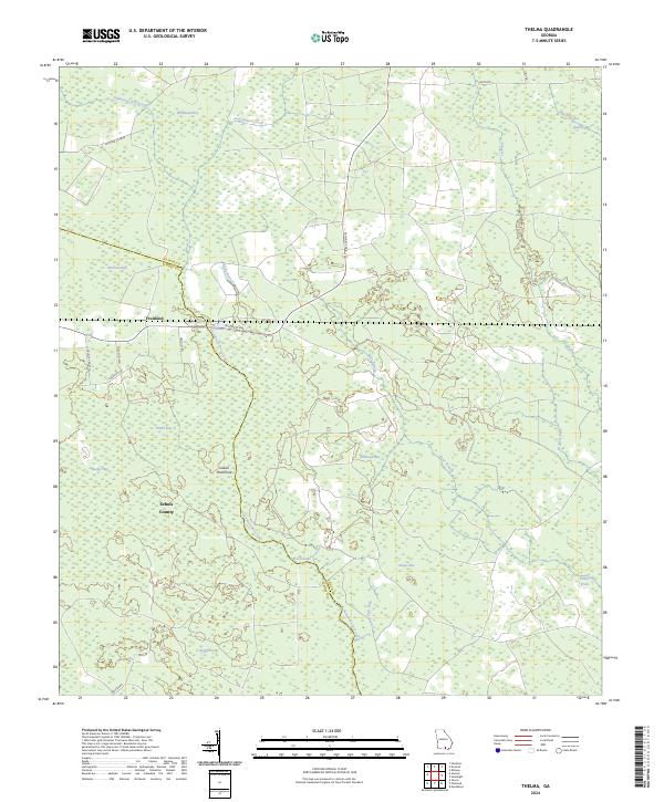
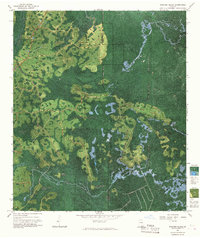
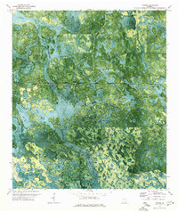
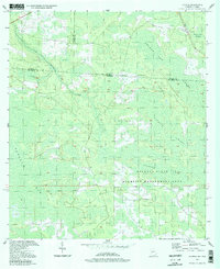
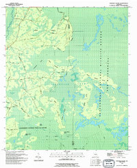
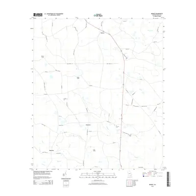
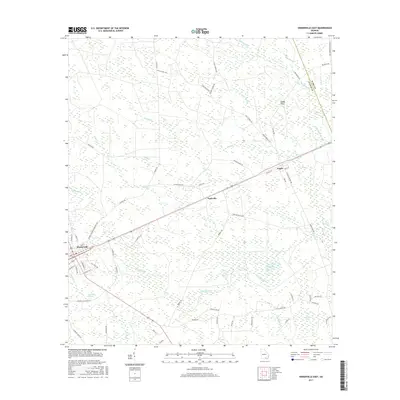
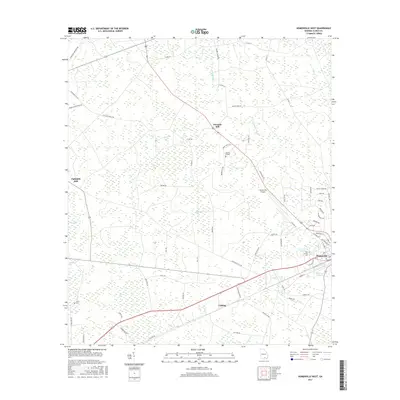
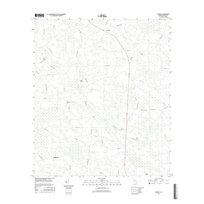
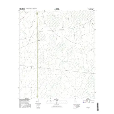
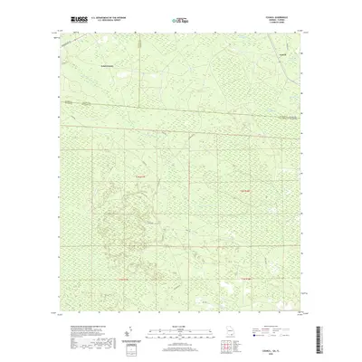
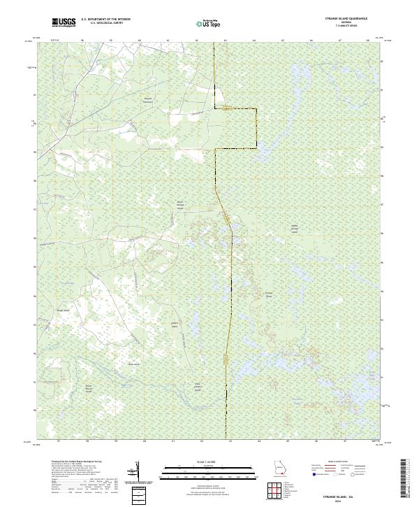
Fruitland and the surrounding wetland pine barrens of the Georgia-Florida borderlands define this landscape in Clinch and Echols County. The terrain is characterized by numerous shallow depressions known as bays, including Whitehead Bay, McClain Bay, and Bexley Bay, which dictate the drainage patterns of local waterways. Suwannoochee Creek and Sweetwater Creek meander through this low-lying area, while isolated high ground like Indian Hammock provides rare topographical relief. This modern survey shows a region where human settlement is limited to a few corridors like W Forest Ave, leaving much of the environment to its natural hydrological features such as Beryl Lake and Anderson Bay. The map provides a detailed view of the rural road network, including Hunting Club Rd and Register Rd, which serve the timberlands and hunting grounds common to this part of the state.
Find a feature on this map
32 named features on this map. Tap any name to fly to it.
Don’t see what you’re looking for? This feature index may not catch every label — zoom into the map to look around manually.
Map Details
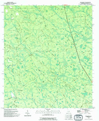
Editions of this 2024 Thelma Map
This is the sole edition of this map. No revisions or reprints were ever made.
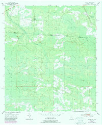
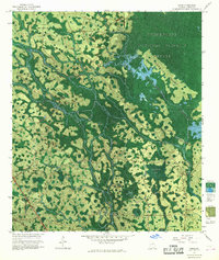
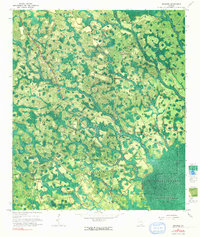
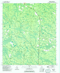
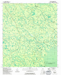
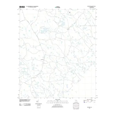
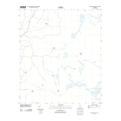
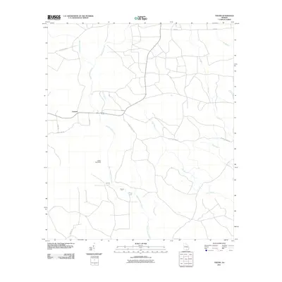
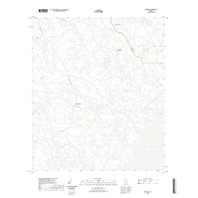
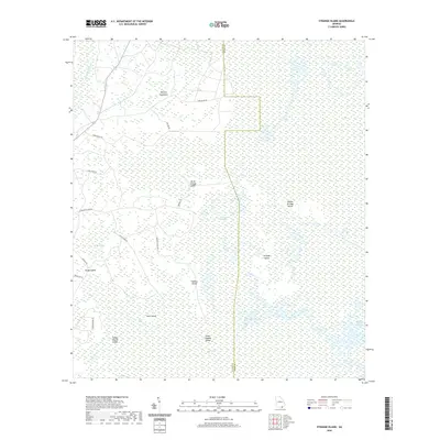
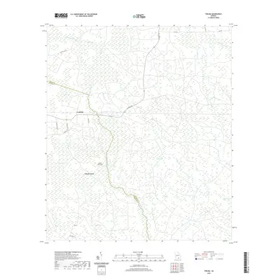
Historical Maps of Fruitland Through Time
68 maps found
1955 Council
Clinch County, GA
1967 Colon
Clinch County, GA
1967 Spooner
Clinch County, GA
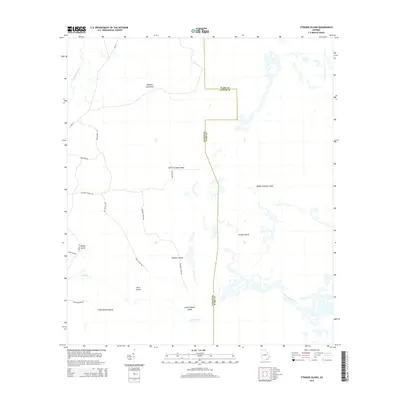
1967 Strange Island
Clinch County, GA
1968 Headlight
Clinch County, GA
1968 Homerville East
Clinch County, GA
1968 Midway
Clinch County, GA
1971 Thelma
Clinch County, GA
1972 Sirmans
Clinch County, GA
1978 Homerville West
Clinch County, GA

1980 Okefenokee Swamp
Clinch County, GA
1994 Colon
Clinch County, GA
1994 Council
Clinch County, GA
1994 Headlight
Clinch County, GA
1994 Midway
Clinch County, GA
1994 Spooner
Clinch County, GA
1994 Strange Island
Clinch County, GA
2006 Council
Clinch County, GA
2011 Colon
Clinch County, GA
2011 Council
Clinch County, GA
2011 Headlight
Clinch County, GA
2011 Homerville East
Clinch County, GA
2011 Homerville West
Clinch County, GA
2011 Midway
Clinch County, GA
2011 Sirmans
Clinch County, GA
2011 Spooner
Clinch County, GA
2011 Strange Island
Clinch County, GA
2011 Thelma
Clinch County, GA
2014 Colon
Clinch County, GA
2014 Council
Clinch County, GA
2014 Headlight
Clinch County, GA

2014 Homerville East
Clinch County, GA
2014 Homerville West
Clinch County, GA
2014 Midway
Clinch County, GA
2014 Sirmans
Clinch County, GA
2014 Spooner
Clinch County, GA
2014 Strange Island
Clinch County, GA
2014 Thelma
Clinch County, GA
2017 Colon
Clinch County, GA
2017 Council
Clinch County, GA
2017 Headlight
Clinch County, GA
2017 Homerville East
Clinch County, GA
2017 Homerville West
Clinch County, GA
2017 Midway
Clinch County, GA
2017 Sirmans
Clinch County, GA
2017 Spooner
Clinch County, GA
2017 Strange Island
Clinch County, GA
2017 Thelma
Clinch County, GA
2020 Colon
Clinch County, GA
2020 Council
Clinch County, GA
2020 Headlight
Clinch County, GA

2020 Homerville East
Clinch County, GA
2020 Homerville West
Clinch County, GA
2020 Midway
Clinch County, GA
2020 Sirmans
Clinch County, GA
2020 Spooner
Clinch County, GA
2020 Strange Island
Clinch County, GA
2020 Thelma
Clinch County, GA
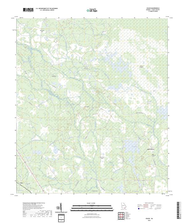
2024 Colon
Clinch County, GA
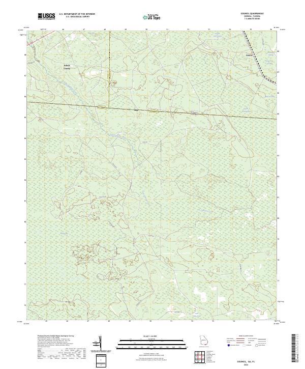
2024 Council
Clinch County, GA
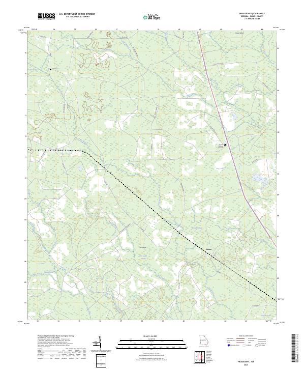
2024 Headlight
Clinch County, GA
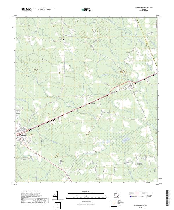
2024 Homerville East
Clinch County, GA
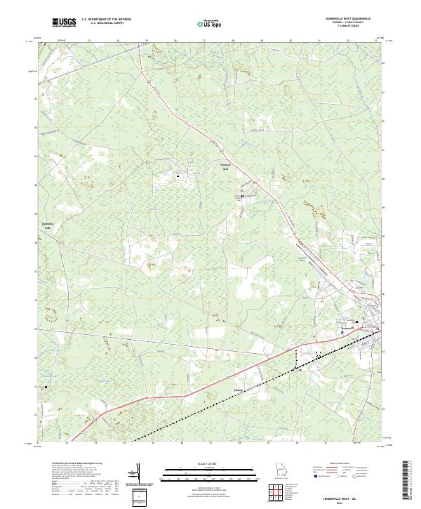
2024 Homerville West
Clinch County, GA
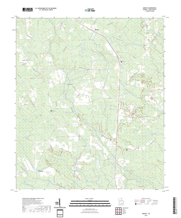
2024 Midway
Clinch County, GA
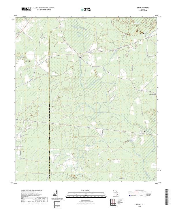
2024 Sirmans
Clinch County, GA
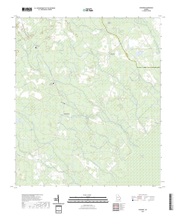
2024 Spooner
Clinch County, GA
2024 Strange Island
Clinch County, GA
2024 Thelma
Clinch County, GA