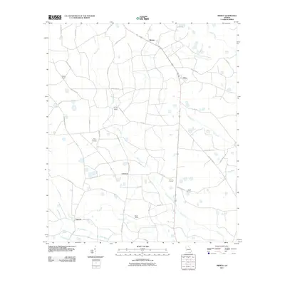
2011 Map of Midway
USGS Topo · Published 2011About this map
Tatum Creek and its many tributaries meander through this landscape in Clinch County, defining a region characterized by small rural settlements and family landmarks. The small community of Midway sits in the northern reaches, while Chauncey and Mud Valley anchor the central and southern portions of the map. This area is notable for its numerous burial grounds, including the Griffis Cemetery and Hard Scramble Cemetery, which provide valuable touchpoints for genealogists.
Find a feature on this map
47 named features on this map. Tap any name to fly to it.
Don’t see what you’re looking for? This feature index may not catch every label — zoom into the map to look around manually.
Map Details
Editions of this 2011 Midway Map
This is the sole edition of this map. No revisions or reprints were ever made.
Other maps of this area

1953 · Waycross
USGS Topo · 1:250,000

1954 · Valdosta
USGS Topo · 1:250,000

1958 · Valdosta
USGS Topo · 1:250,000

1958 · Waycross
USGS Topo · 1:250,000

1959 · Valdosta
USGS Topo · 1:250,000

1967 · Spooner
USGS Topo · 1:24,000

1967 · Colon
USGS Topo · 1:24,000

1968 · Homerville East
USGS Topo · 1:24,000

1968 · Midway
USGS Topo · 1:24,000

1968 · Headlight
USGS Topo · 1:24,000