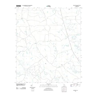
2011 Map of Headlight
USGS Topo · Published 2011About this map
Headlight and Ernest anchor this portion of Clinch County, where the landscape is defined by a intricate network of swampy lowlands and named bayous. The terrain is a complex mosaic of hydrologic features, including Walters Bay, Lees Bay, and the sprawling drainage of Big Branch. These wet depressions are interspersed with elevated areas known locally as islands, such as Crews Island in the northeast and Cart Island toward the center.
Find a feature on this map
34 named features on this map. Tap any name to fly to it.
Don’t see what you’re looking for? This feature index may not catch every label — zoom into the map to look around manually.
Map Details
Editions of this 2011 Headlight Map
This is the sole edition of this map. No revisions or reprints were ever made.
Other maps of this area

1954 · Valdosta
USGS Topo · 1:250,000

1958 · Valdosta
USGS Topo · 1:250,000

1959 · Valdosta
USGS Topo · 1:250,000

1967 · Spooner
USGS Topo · 1:24,000

1967 · Colon
USGS Topo · 1:24,000

1967 · Fargo
USGS Topo · 1:24,000

1968 · Midway
USGS Topo · 1:24,000

1968 · Needmore
USGS Topo · 1:24,000

1968 · Headlight
USGS Topo · 1:24,000

1971 · Thelma
USGS Topo · 1:24,000