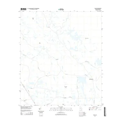
2014 Map of Colon
USGS Topo · Published 2014About this map
Colon and Williamsburg occupy a landscape defined by an intricate network of wetlands and named rises in Clinch County. The terrain is characterized by numerous island-like features such as Big Island, Rowells Island, and Buck Trail Island, which emerge from the surrounding lowlands. Waterways like Alligator Creek and Tatum Cr wind through the area, with Vessels Ford providing a specific point of passage on Riggins Br. The road network is largely functional and sparse, featuring names like Swamp Perimeter Rd and Tower Rd, which suggest the management of the vast timber and swamp resources. Points of local interest like Bird Sand Hill and Score Bridge mark the few notable elevations and crossings in this rural corner of South Georgia, reflecting a pattern of settlement and movement shaped entirely by the heavy moisture and drainage of the region.
Find a feature on this map
28 named features on this map. Tap any name to fly to it.
Don’t see what you’re looking for? This feature index may not catch every label — zoom into the map to look around manually.
Map Details
Editions of this 2014 Colon Map
This is the sole edition of this map. No revisions or reprints were ever made.
Other maps of this area

1954 · Valdosta
USGS Topo · 1:250,000

1958 · Valdosta
USGS Topo · 1:250,000

1959 · Valdosta
USGS Topo · 1:250,000

1966 · The Pocket
USGS Topo · 1:24,000

1966 · Cravens Island
USGS Topo · 1:24,000

1967 · Strange Island
USGS Topo · 1:24,000

1967 · Spooner
USGS Topo · 1:24,000

1967 · Colon
USGS Topo · 1:24,000

1967 · Fargo
USGS Topo · 1:24,000

1968 · Midway
USGS Topo · 1:24,000