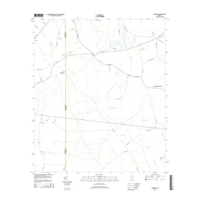
2014 Map of Sirmans
USGS Topo · Published 2014About this map
Sirmans sits at the western edge of this South Georgia landscape, where the flatlands are defined by a network of slow-moving blackwater drainages and rural timber roads. The Lanier Co / Clinch Co boundary divides the terrain, marking a transition between the small settlement of Sirmans and the outlying timber-related landmarks further east. In the northeastern corner, Eightmile Still points to the historical importance of the naval stores industry, where longleaf pine forests were tapped for turpentine and rosin.
Find a feature on this map
55 named features on this map. Tap any name to fly to it.
Don’t see what you’re looking for? This feature index may not catch every label — zoom into the map to look around manually.
Map Details
Editions of this 2014 Sirmans Map
This is the sole edition of this map. No revisions or reprints were ever made.
Other maps of this area

1953 · Waycross
USGS Topo · 1:250,000

1954 · Valdosta
USGS Topo · 1:250,000

1958 · Valdosta
USGS Topo · 1:250,000

1958 · Waycross
USGS Topo · 1:250,000

1959 · Valdosta
USGS Topo · 1:250,000

1968 · Naylor
USGS Topo · 1:24,000

1968 · Lakeland
USGS Topo · 1:24,000

1971 · Du Pont
USGS Topo · 1:24,000

1971 · Stockton
USGS Topo · 1:24,000

1972 · Sirmans
USGS Topo · 1:24,000