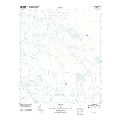
2011 Map of Colon
USGS Topo · Published 2011About this map
The settlement of Colon and the nearby community of Williamsburg sit at the southern edge of a complex wetland environment where land and water merge into a mosaic of named islands and seasonal branches. The landscape is defined by the flow of Riggins Branch and Alligator Creek, which wind through the terrain to isolate landforms like Big Island, Cub Island, and Buck Trail Island. Unlike traditional islands in open water, these features represent slightly elevated ground within the surrounding marshy lowlands, providing stable sites for local infrastructure.
Find a feature on this map
25 named features on this map. Tap any name to fly to it.
Don’t see what you’re looking for? This feature index may not catch every label — zoom into the map to look around manually.
Map Details
Editions of this 2011 Colon Map
This is the sole edition of this map. No revisions or reprints were ever made.
Other maps of this area

1954 · Valdosta
USGS Topo · 1:250,000

1958 · Valdosta
USGS Topo · 1:250,000

1959 · Valdosta
USGS Topo · 1:250,000

1966 · The Pocket
USGS Topo · 1:24,000

1966 · Cravens Island
USGS Topo · 1:24,000

1967 · Strange Island
USGS Topo · 1:24,000

1967 · Spooner
USGS Topo · 1:24,000

1967 · Colon
USGS Topo · 1:24,000

1967 · Fargo
USGS Topo · 1:24,000

1968 · Midway
USGS Topo · 1:24,000