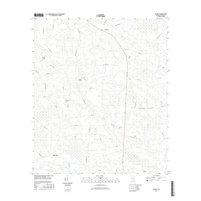
2017 Map of Midway
USGS Topo · Published 2017About this map
Midway and Magnolia anchor this Clinch County landscape, characterized by a complex network of wetlands and namesake islands. The terrain is defined by numerous shallow water bodies including Big Water Pond, Jordan Bay, and Tower Bay, which are interspersed with higher ground labeled as Turkey Island and Knight Island. This geography creates a unique spatial pattern where small settlements and rural homesteads are connected by a grid of named farm roads such as Strickland Rd and Jernigan Farm Rd. Local heritage is preserved in several rural burial grounds that dot the area, including Griffis Cem, Hard Scramble Cem, and Chauncey Cem. The drainage of the region is facilitated by numerous small watercourses like Tatum Cr, Mill Br, and Sugar Br, which slowly navigate the low-lying interior of southern Georgia.
Find a feature on this map
66 named features on this map. Tap any name to fly to it.
Don’t see what you’re looking for? This feature index may not catch every label — zoom into the map to look around manually.
Map Details
Editions of this 2017 Midway Map
This is the sole edition of this map. No revisions or reprints were ever made.
Other maps of this area

1953 · Waycross
USGS Topo · 1:250,000

1954 · Valdosta
USGS Topo · 1:250,000

1958 · Valdosta
USGS Topo · 1:250,000

1958 · Waycross
USGS Topo · 1:250,000

1959 · Valdosta
USGS Topo · 1:250,000

1967 · Spooner
USGS Topo · 1:24,000

1967 · Colon
USGS Topo · 1:24,000

1968 · Homerville East
USGS Topo · 1:24,000

1968 · Midway
USGS Topo · 1:24,000

1968 · Headlight
USGS Topo · 1:24,000