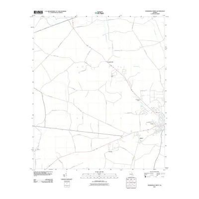
2011 Map of Homerville West
USGS Topo · Published 2011About this map
Fivemile Still and the surrounding pine flatwoods of Clinch County define this 2011 landscape just west of the county seat. The area is characterized by its network of timber-access roads and rural homesteads, including the small settlements of Gillicon and Cutting. The map documents critical local landmarks like Holmes Chapel and the Homerville Airport, situated near the confluence of Woodyard Creek and Cane Creek. Genealogists will find the locations of North Cemetery and Pine Forest Cemetery particularly valuable for tracing local family history. The presence of roads like 5 Mile Still Rd and 8 Mile Still Rd reflects the enduring importance of the turpentine and timber industries that have historically shaped this part of Georgia's wiregrass region.
Find a feature on this map
37 named features on this map. Tap any name to fly to it.
Don’t see what you’re looking for? This feature index may not catch every label — zoom into the map to look around manually.
Map Details
Editions of this 2011 Homerville West Map
This is the sole edition of this map. No revisions or reprints were ever made.
Other maps of this area

1953 · Waycross
USGS Topo · 1:250,000

1954 · Valdosta
USGS Topo · 1:250,000

1958 · Valdosta
USGS Topo · 1:250,000

1958 · Waycross
USGS Topo · 1:250,000

1959 · Valdosta
USGS Topo · 1:250,000

1968 · Homerville East
USGS Topo · 1:24,000

1968 · Midway
USGS Topo · 1:24,000

1968 · Cogdell
USGS Topo · 1:24,000

1971 · Du Pont
USGS Topo · 1:24,000

1971 · Stockton
USGS Topo · 1:24,000