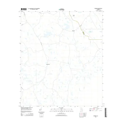
2014 Map of Spooner
USGS Topo · Published 2014About this map
The low-lying wetlands and creek systems of the Georgia coastal plain dominate this 2014 survey, illustrating the rural landscape along the border of Clinch and Ware counties. Small, established communities like Jamestown and Spooner serve as local anchors in an area defined by complex drainage networks. Named water bodies such as Surveyors Cr, Turkey Br, and Cane Cr weave through the terrain, punctuated by features like Stevens Bay and Gainey Island.
Find a feature on this map
21 named features on this map. Tap any name to fly to it.
Don’t see what you’re looking for? This feature index may not catch every label — zoom into the map to look around manually.
Map Details
Editions of this 2014 Spooner Map
This is the sole edition of this map. No revisions or reprints were ever made.
Other maps of this area

1953 · Waycross
USGS Topo · 1:250,000

1954 · Valdosta
USGS Topo · 1:250,000

1958 · Valdosta
USGS Topo · 1:250,000

1958 · Waycross
USGS Topo · 1:250,000

1959 · Valdosta
USGS Topo · 1:250,000

1966 · The Pocket
USGS Topo · 1:24,000

1966 · Cravens Island
USGS Topo · 1:24,000

1967 · Spooner
USGS Topo · 1:24,000

1967 · Colon
USGS Topo · 1:24,000

1967 · Waycross SW
USGS Topo · 1:24,000