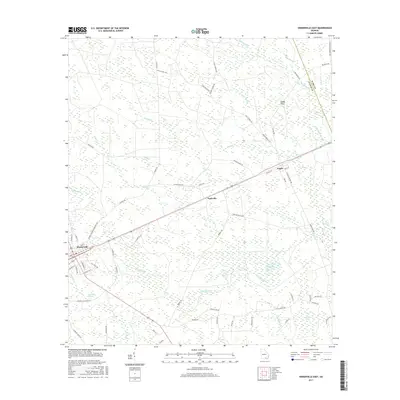
2017 Map of Homerville East
USGS Topo · Published 2017About this map
Homerville serves as the primary hub in this Georgia landscape, situated along the Frank S Sessions Memorial Hwy and surrounded by a complex network of wetlands and bayous characteristic of the region. The map reveals a land defined by water and forest, where namesake "bays" like Bunkie Bay and Devils Bay interrupt the sandy pine woods. These features, along with names like Sandy Flats and Sandy Flats, indicate a terrain where drainage is slow and the environment is dictated by the flow of Suwannee Cr and its many tributaries.
Find a feature on this map
72 named features on this map. Tap any name to fly to it.
Don’t see what you’re looking for? This feature index may not catch every label — zoom into the map to look around manually.
Map Details
Editions of this 2017 Homerville East Map
This is the sole edition of this map. No revisions or reprints were ever made.
Other maps of this area
1953 · Waycross
USGS Topo · 1:250,000

1954 · Valdosta
USGS Topo · 1:250,000
1958 · Valdosta
USGS Topo · 1:250,000
1958 · Waycross
USGS Topo · 1:250,000
1959 · Valdosta
USGS Topo · 1:250,000
1967 · Spooner
USGS Topo · 1:24,000
1967 · Pine Valley
USGS Topo · 1:24,000
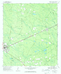
1968 · Homerville East
USGS Topo · 1:24,000
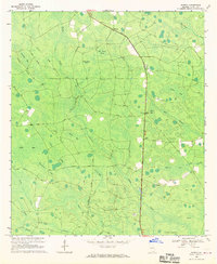
1968 · Midway
USGS Topo · 1:24,000
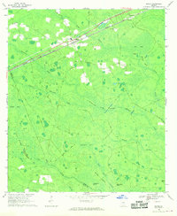
1968 · Manor
USGS Topo · 1:24,000