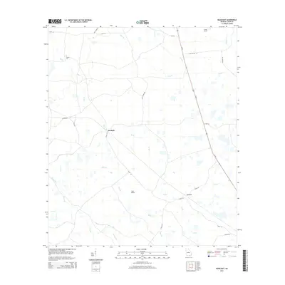
2014 Map of Headlight
USGS Topo · Published 2014About this map
Headlight and Ernest stand as primary reference points in this southeastern Georgia landscape, situated within a complex network of wetlands and branch streams. The terrain is characterized by numerous small basins and bays, such as Lees Bay and Walters Bay, interspersed with named dry ground like Crews Island and Cart Island. This 2014 survey documents the modern layout of rural roads, including Colon Rd and the significant corridor of Us-441, which bisects the eastern half of the area. For those interested in local genealogy or historical land use, the Hilliard Cem is a notable landmark in the northwest. The drainage patterns of Jones Cr, Big Br, and Black Br illustrate the low-lying nature of this region, where subtle elevation changes dictate the placement of local roads like Cason Rd and Coon Hollow Rd.
Find a feature on this map
29 named features on this map. Tap any name to fly to it.
Don’t see what you’re looking for? This feature index may not catch every label — zoom into the map to look around manually.
Map Details
Editions of this 2014 Headlight Map
This is the sole edition of this map. No revisions or reprints were ever made.
Other maps of this area

1954 · Valdosta
USGS Topo · 1:250,000

1958 · Valdosta
USGS Topo · 1:250,000

1959 · Valdosta
USGS Topo · 1:250,000

1967 · Spooner
USGS Topo · 1:24,000

1967 · Colon
USGS Topo · 1:24,000

1967 · Fargo
USGS Topo · 1:24,000

1968 · Midway
USGS Topo · 1:24,000

1968 · Needmore
USGS Topo · 1:24,000

1968 · Headlight
USGS Topo · 1:24,000

1971 · Thelma
USGS Topo · 1:24,000