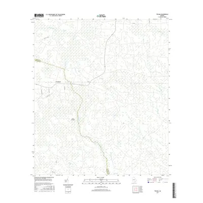
2017 Map of Thelma
USGS Topo · Published 2017About this map
Fruitland and the crossroads at Thelma anchor this portion of the coastal plain near the Clinch Co / Echols Co line. The landscape is defined by an intricate network of wetlands, with the winding course of Suwannoochee Cr serving as the primary drainage for the area. This low-lying region is characterized by numerous bay features, such as Whitehead Bay, McClain Bay, and Stalvey Bay, which are often linked by smaller seasonal watercourses like Boggy Drain and Soldier Drain.
Find a feature on this map
30 named features on this map. Tap any name to fly to it.
Don’t see what you’re looking for? This feature index may not catch every label — zoom into the map to look around manually.
Map Details
Editions of this 2017 Thelma Map
This is the sole edition of this map. No revisions or reprints were ever made.
Other maps of this area

1954 · Valdosta
USGS Topo · 1:250,000

1958 · Valdosta
USGS Topo · 1:250,000

1959 · Valdosta
USGS Topo · 1:250,000

1968 · Midway
USGS Topo · 1:24,000

1968 · Needmore
USGS Topo · 1:24,000

1968 · Headlight
USGS Topo · 1:24,000

1971 · Thelma
USGS Topo · 1:24,000

1971 · Du Pont
USGS Topo · 1:24,000

1971 · Stockton
USGS Topo · 1:24,000

1971 · Tarver
USGS Topo · 1:24,000