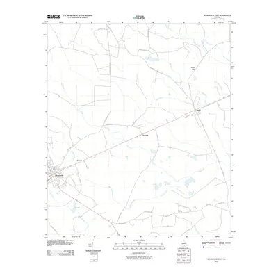
2011 Map of Homerville East
USGS Topo · Published 2011About this map
The Homerville area in southern Georgia is characterized by a high-density network of watercourses and agricultural road systems. Local commerce and civic life center around the Homerville Post Office and the rail-aligned settlements of Argyle, Traisville, and Paletree. The landscape is defined by its drainage patterns, with Suwannee Creek and its many tributaries, including Polly Branch and Little Suwannee Creek, carving through the terrain. Evidence of water management and local industry is seen at Dickerson Millpond, which collects the waters of Tatum Creek. Further east, the Sandy Flats provide a distinct topographical contrast to the riparian corridors of Surveyors Creek and Cane Creek. The road network, comprising numerous local routes like Sessoms Memorial Hwy and Country Road 129, reflects a rural infrastructure built around these waterways and small communities.
Find a feature on this map
43 named features on this map. Tap any name to fly to it.
Don’t see what you’re looking for? This feature index may not catch every label — zoom into the map to look around manually.
Map Details
Editions of this 2011 Homerville East Map
This is the sole edition of this map. No revisions or reprints were ever made.
Other maps of this area

1953 · Waycross
USGS Topo · 1:250,000

1954 · Valdosta
USGS Topo · 1:250,000

1958 · Valdosta
USGS Topo · 1:250,000

1958 · Waycross
USGS Topo · 1:250,000

1959 · Valdosta
USGS Topo · 1:250,000

1967 · Spooner
USGS Topo · 1:24,000

1967 · Pine Valley
USGS Topo · 1:24,000

1968 · Homerville East
USGS Topo · 1:24,000

1968 · Midway
USGS Topo · 1:24,000

1968 · Manor
USGS Topo · 1:24,000