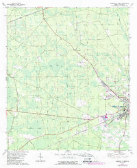
1978 Map of Homerville West
USGS Topo · Published 1987About this map
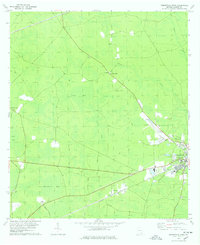
The low-lying wetlands of Clinch County define this 1970s landscape, where expansive features like Skinner Bay, Light Bay, and Bear Bay dominate the terrain west of the county seat. The town of Homerville serves as the primary hub, showing significant development around the CSX rail line and the Homerville Airport. Cultural and community life is anchored by institutions such as Clinch County High Sch and First Assembly of God Ch, while rural life is traced through a network of specialized roads including Cutting Road and Hunter Road.
Find a feature on this map
28 named features on this map. Tap any name to fly to it.
Don’t see what you’re looking for? This feature index may not catch every label — zoom into the map to look around manually.
Map Details
Editions of this 1978 Homerville West Map
2 editions found
Other maps of this area

1953 · Waycross
USGS Topo · 1:250,000

1954 · Valdosta
USGS Topo · 1:250,000

1958 · Valdosta
USGS Topo · 1:250,000

1958 · Waycross
USGS Topo · 1:250,000

1959 · Valdosta
USGS Topo · 1:250,000

1968 · Homerville East
USGS Topo · 1:24,000

1968 · Midway
USGS Topo · 1:24,000

1968 · Cogdell
USGS Topo · 1:24,000

1971 · Du Pont
USGS Topo · 1:24,000

1971 · Stockton
USGS Topo · 1:24,000