Old Maps of Dasher, Georgia for Academic Research
Study the evolution of Dasher with 17 high-resolution historic maps. Whether you're teaching, researching, or modeling changes in land use, these maps provide essential visual documentation of urban, environmental, and geographic change.
- Analyze long-term change: Track patterns in development, transportation, and natural features.
- Ideal for environmental or urban studies: Support academic projects with primary historical map data.
- Use in the classroom or lab: Educators and researchers rely on these maps to bring historical context to life.
These maps are a powerful tool for teaching, research, and visualizing how Dasher has changed over the decades.
Dasher, GA maps
(17)- 1954 Map of Valdosta, 1967 Print
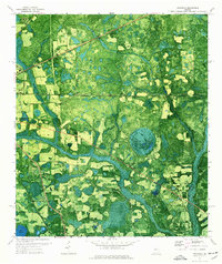
 1954 Valdosta1967 Print · USGSThe South Georgia and North Florida borderlands are captured here in the mid-fifties, showing the deep timber and wetland networks of the coastal plain. Researchers can trace the path of the Atlantic Coast Line through Valdosta or explore the interior of the Okefenokee Swamp.2 unique versions available
 - 1958 Map of Valdosta
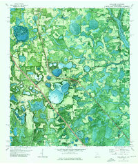
 1958 Valdosta1958 Print · USGSSouth Georgia and North Florida are captured here in the mid-fifties, showing the vast Okefenokee Swamp and the vital timber and rail corridors connecting the two states. Researchers can locate the footprint of Moody Air Force Base, trace the Live Oak Perry and Gulf railroad, or find early community sites like Bakers Mill and Paradise Church.
 - 1959 Map of Valdosta
 1959 Valdosta1959 Print · USGSThe Georgia-Florida borderlands in the mid-fifties reveal a landscape of massive blackwater swamps and emerging military aviation hubs. Genealogists and historians can trace rail-stop towns like Fargo and Stockton or explore the interior reaches of the Okefenokee Swamp and Billys Island.
 - 1971 Map of Indianola, 1976 Print
 1971 Indianola1976 Print · USGSSouth Georgia's rural landscape is captured here in the early 1970s as two major railroads intersect near the Florida border. Genealogists and local historians can trace the foundations of Indianola and Dasher alongside rural landmarks like Twin Hill Ch and Boring Pond.
 - 1971 Map of Lake Park, 1976 Print
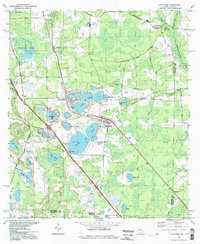
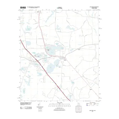
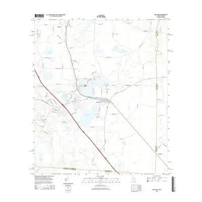
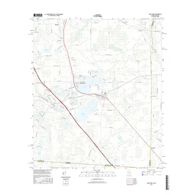
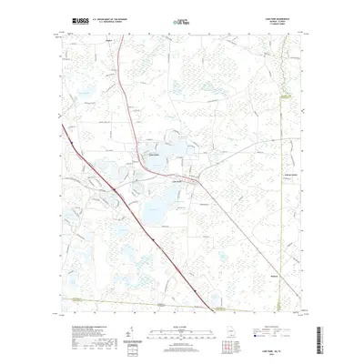
 1971 Lake Park1976 Print · USGSSouthern Georgia's lake country is captured in the early 1970s, showcasing the intersection of the railway and the region's unique water-pocked landscape. Genealogists and local historians can trace rural roots at Hickory Grove Cemetery, Frances Lake Ch, and the community of Lake Park.
 - 1981 Map of Valdosta
 1981 Valdosta1981 Print · USGSCrossing the Georgia and Florida border in the early eighties, this survey captures the agricultural and military landscape of the coastal plain. Genealogists and historians can trace the rail-linked growth of Valdosta and Quitman or find rural landmarks like New Hope Church and Lake Miccosukee.
 - 1994 Map of Lake Park, 1998 Print
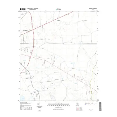
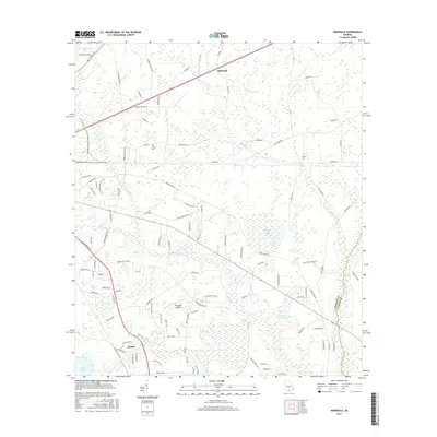
 1994 Lake Park1998 Print · USGSThe Georgia-Florida border country near Lowndes County is captured here in the mid-nineties, showing a landscape defined by deep blue sinkhole lakes. Researchers can trace local history at Lake Park Cem, Strickland Ch, and the waters of Ocean Pond.
 - 2011 Map of Indianola, 2011 Print
 2011 Indianola2011 Print · USGSCovers Dasher, including Valdosta, Bandy, and other nearby areas
 - 2011 Map of Lake Park, 2011 Print
 2011 Lake Park2011 Print · USGSCovers Dasher, including Lake Park, Herring, and other nearby areas
 - 2014 Map of Lake Park, 2014 Print
 2014 Lake Park2014 Print · USGSCovers Dasher, including Lake Park, Herring, and other nearby areas
 - 2014 Map of Indianola, 2014 Print
 2014 Indianola2014 Print · USGSCovers Dasher, including Valdosta, Bandy, and other nearby areas
 - 2017 Map of Indianola, 2017 Print
 2017 Indianola2017 Print · USGSCovers Dasher, including Valdosta, Bandy, and other nearby areas
 - 2017 Map of Lake Park, 2017 Print
 2017 Lake Park2017 Print · USGSCovers Dasher, including Lake Park, Herring, and other nearby areas
 - 2020 Map of Indianola, 2020 Print
 2020 Indianola2020 Print · USGSCovers Dasher, including Valdosta, Bandy, and other nearby areas
 - 2020 Map of Lake Park, 2020 Print
 2020 Lake Park2020 Print · USGSCovers Dasher, including Lake Park, Herring, and other nearby areas
 - 2024 Map of Indianola, 2024 Print
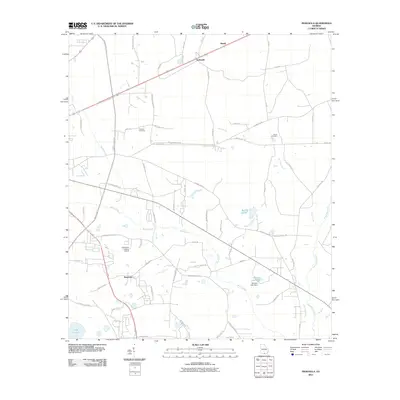
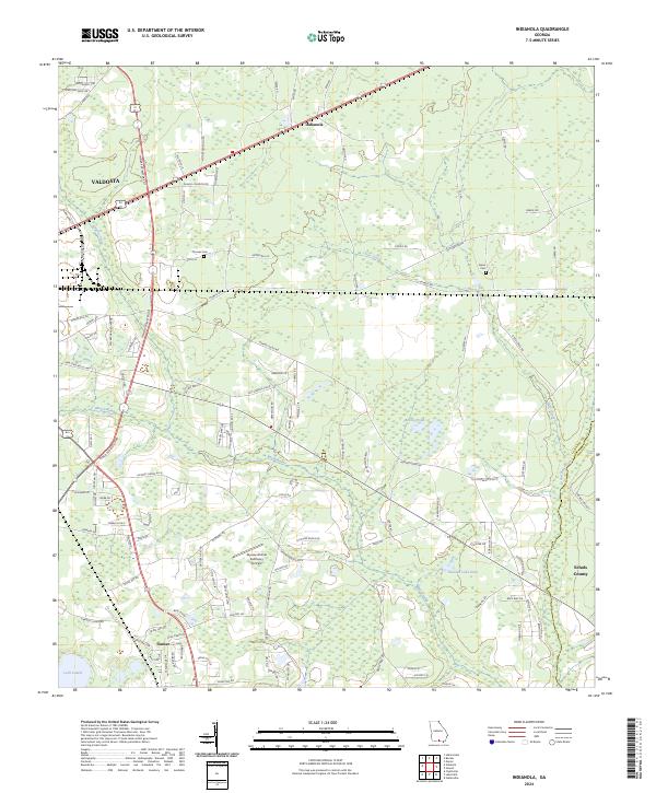 2024 Indianola2024 Print · USGSSoutheastern Georgia near the Florida border shows a landscape of growing communities and dense wetlands in the early twenty-first century. Researchers can trace family history at Thomas Cem, locate the small community of Dasher, and find landmarks like Loch Laurel.
 - 2024 Map of Lake Park, 2024 Print
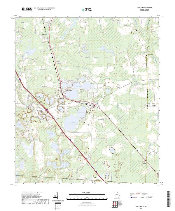 2024 Lake Park2024 Print · USGSSouth Georgia's lake country is detailed in this recent survey of the corridor between Valdosta and the Florida line. Genealogists can locate Lake Park Cem and family-named water bodies like Garrolls Pond or Browns Pond.
End of results
Showing maps 1-17 of 17
Top cities near Dasher
Frequently asked questions
- What are the different types of historical maps available for Dasher?
- What is the oldest map of Dasher?
- Where can I purchase historical maps of Dasher for my home or office?
- Where can I download high-res historical maps of Dasher?
- Are there historical topographic maps available for Dasher?
- Is there historical aerial imagery available for Dasher?
- Where are historical maps of Dasher sourced from?