Old Maps of Murray County, Georgia
Explore 33 old maps of Murray County, spanning from 1886 to today. These high-resolution historic maps reveal how streets, neighborhoods, landmarks, and natural features evolved over time — perfect for genealogy, metal detecting, research, and local history exploration.
What you can do with these maps:
- See how Murray County changed over time: Compare historical maps to modern-day views to trace roads, homesites, rail lines & more.
- View detailed metadata: Each map includes creators, publishers, year, scale, and archive source.
- Overlay maps with satellite & LiDAR: Visualize the past alongside modern tools to explore terrain & human change.
- Trusted historical sources: Maps sourced from the USGS, Library of Congress, and other archives.
- Access maps your way: View online, download high-res files, or order prints for personal or research use.
Start exploring old maps of Murray County to uncover forgotten places, hidden landmarks, and the deep history beneath your feet.
Murray County, GA maps
(33)- 1886 Map of Dalton
 1886 Dalton1886 Print · USGSCovers Murray County, including Dalton, Calhoun, and other nearby areas
 - 1892 Map of Dalton
 1892 Dalton1892 Print · USGSCovers Murray County, including Dalton, Calhoun, and other nearby areas
 - 1897 Map of Dalton
 1897 Dalton1897 Print · USGSCovers Murray County, including Dalton, Calhoun, and other nearby areas4 unique versions available
 - 1911 Map of Cohutta Mtn
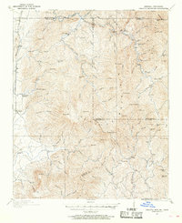 1911 Cohutta Mtn1911 Print · USGSCovers Murray County, including Mountaintown, Pleasant Hill, and other nearby areas2 unique versions available
 - 1913 Map of Cohutta Mtn.
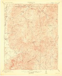 1913 Cohutta Mtn.1913 Print · USGSCovers Murray County, including Mountaintown, Pleasant Hill, and other nearby areas3 unique versions available
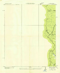
 - 1914 Map of Talking Rock, 1960 Print
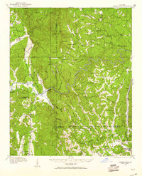 1914 Talking Rock1960 Print · USGSCovers Murray County, including Ellijay, Talking Rock, and other nearby areas2 unique versions available
 - 1916 Map of Talking Rock
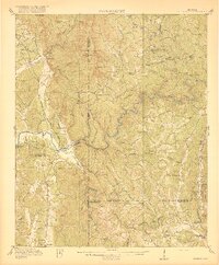 1916 Talking Rock1916 Print · USGSCovers Murray County, including Ellijay, Talking Rock, and other nearby areas2 unique versions available
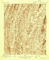
 - 1935 Map of Hemp Top
 1935 Hemp Top1935 Print · USGSCovers Murray County, including Fannin County, Polk County, and other nearby areas
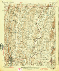
 - 1938 Map of Chatsworth
 1938 Chatsworth1938 Print · USGSCovers Murray County, including Dalton, Chatsworth, and other nearby areas3 unique versions available
 - 1943 Map of Dalton
 1943 Dalton1943 Print · USGSCovers Murray County, including Dalton, Chatsworth, and other nearby areas2 unique versions available
 - 1949 Map of Calhoun, 1965 Print
 1949 Calhoun1965 Print · USGSCovers Murray County, including Dalton, Calhoun, and other nearby areas
 - 1951 Map of Calhoun
 1951 Calhoun1951 Print · USGSCovers Murray County, including Dalton, Calhoun, and other nearby areas2 unique versions available
 - 1955 Map of Rome
 1955 Rome1955 Print · USGSCovers Murray County, including Chattanooga, Sandy Springs, and other nearby areas
 - 1958 Map of Rome, 1966 Print
 1958 Rome1966 Print · USGSCovers Murray County, including Chattanooga, Sandy Springs, and other nearby areas3 unique versions available
 - 1959 Map of Dyer Gap
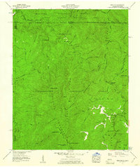
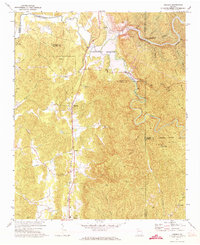
 1959 Dyer Gap1959 Print · USGSCovers Murray County, including Mountaintown, Pleasant Hill, and other nearby areas3 unique versions available
 - 1959 Map of Hemp Top, 1961 Print
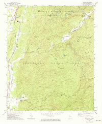
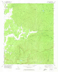
 1959 Hemp Top1961 Print · USGSCovers Murray County, including Fannin County, Polk County, and other nearby areas4 unique versions available
 - 1961 Map of Rome
 1961 Rome1961 Print · USGSCovers Murray County, including Chattanooga, Sandy Springs, and other nearby areas
 - 1963 Map of Rome
 1963 Rome1963 Print · USGSCovers Murray County, including Chattanooga, Sandy Springs, and other nearby areas
 - 1968 Map of Tennga, 1973 Print
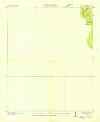
 1968 Tennga1973 Print · USGSCovers Murray County, including Cisco, Tennga, and other nearby areas3 unique versions available
 - 1971 Map of Oakman, 1973 Print
 1971 Oakman1973 Print · USGSCovers Murray County, including Ranger, McDaniel, and other nearby areas2 unique versions available
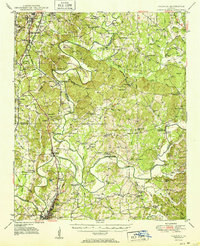
 - 1971 Map of Ramhurst, 1974 Print
 1971 Ramhurst1974 Print · USGSCovers Murray County, including Bloodtown, Dennis, and other nearby areas2 unique versions available
 - 1971 Map of Crandall, 1974 Print
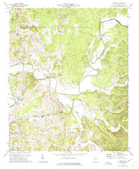
 1971 Crandall1974 Print · USGSCovers Murray County, including Hasslers Mill, Crandall, and other nearby areas3 unique versions available
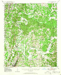
 - 1972 Map of Redbud, 1974 Print
 1972 Redbud1974 Print · USGSCovers Murray County, including Redbud, Nickelsville, and other nearby areas2 unique versions available
 - 1972 Map of Calhoun North, 1974 Print
 1972 Calhoun North1974 Print · USGSCovers Murray County, including Calhoun, Resaca, and other nearby areas3 unique versions available
 - 1972 Map of Chatsworth, 1974 Print
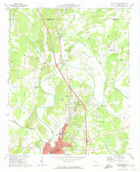
 1972 Chatsworth1974 Print · USGSCovers Murray County, including Chatsworth, Eton, and other nearby areas3 unique versions available
Showing maps 1-25 of 33
Top cities of Murray County
Frequently asked questions
- What are the different types of historical maps available for Murray County?
- What is the oldest map of Murray County?
- Where can I purchase historical maps of Murray County for my home or office?
- Where can I download high-res historical maps of Murray County?
- Are there historical topographic maps available for Murray County?
- Is there historical aerial imagery available for Murray County?
- Where are historical maps of Murray County sourced from?