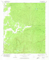
1971 Map of Crandall
USGS Topo · Published 1974About this map
Cohutta Mountains rise sharply in this 1971 survey of north Georgia, where the high-altitude terrain is dominated by the Chattahoochee National Forest and Fort Mountain State Park. The western edge of the quadrangle shows the transition to the valley floor, where the Louisville and Nashville railroad serves the settlement of Crandall. Small rural communities like Hasslers Mill and Holly are linked by a network of unimproved roads and jeep trails that follow the winding paths of Holly Creek and its many tributaries.
Find a feature on this map
48 named features on this map. Tap any name to fly to it.
Don’t see what you’re looking for? This feature index may not catch every label — zoom into the map to look around manually.
Map Details
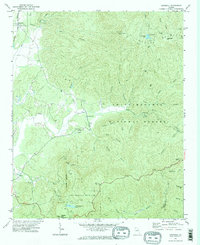
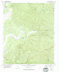
Editions of this 1971 Crandall Map
Other maps of this area

1886 · Dalton
USGS Topo · 1:125,000

1892 · Dalton
USGS Topo · 1:125,000

1897 · Dalton
USGS Topo · 1:125,000

1911 · Cohutta Mtn
USGS Topo · 1:62,500

1913 · Cohutta Mtn.
USGS Topo · 1:62,500

1914 · Talking Rock
USGS Topo · 1:62,500

1916 · Talking Rock
USGS Topo · 1:62,500
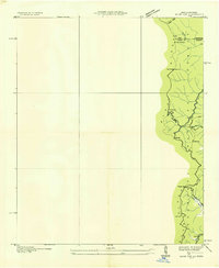
1935 · Hemp Top
USGS Topo · 1:24,000

1938 · Chatsworth
USGS Topo · 1:48,000

1943 · Dalton
USGS Topo · 1:62,500