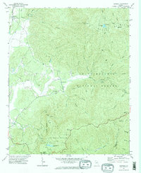
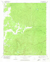
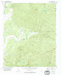
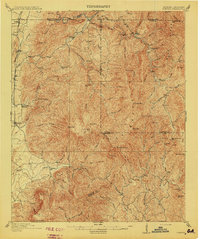
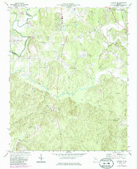
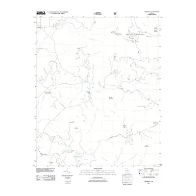
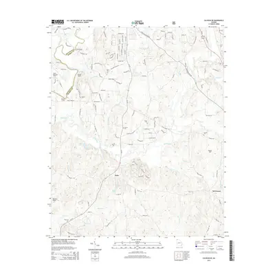
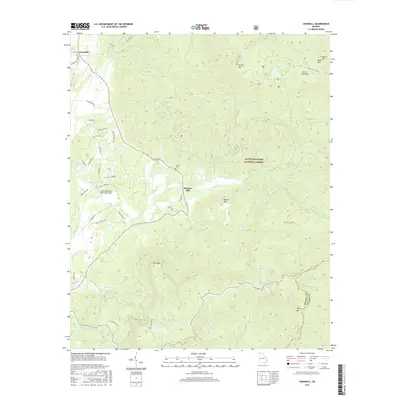
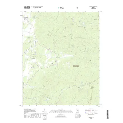
1971 Map of Crandall
USGS Topo · Published 1984About this map
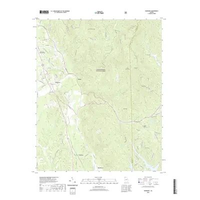
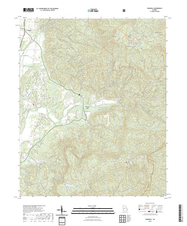
Crandall stands at the northwestern base of the Cohutta Mountains, where the Nashville and Louisville RR tracks follow the level ground of the valley. This landscape is defined by the steep elevation gains into the Chattahoochee National Forest, transitioning from the lowland rails to high-altitude landmarks like the Grassy Mtn lookout tower. Central to the map is the remote Hasslers Mill settlement, situated along the winding course of Holly Creek.
Find a feature on this map
52 named features on this map. Tap any name to fly to it.
Don’t see what you’re looking for? This feature index may not catch every label — zoom into the map to look around manually.
Map Details
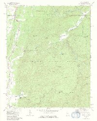
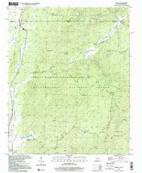
Editions of this 1971 Crandall Map
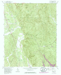
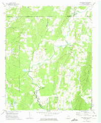
Historical Maps of Hasslers Mill Through Time
33 maps found
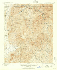
1911 Cohutta Mountain
Murray County, GA
1913 Cuhutta
Murray County, GA
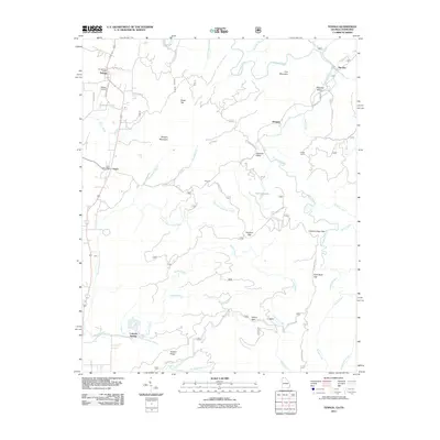
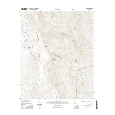
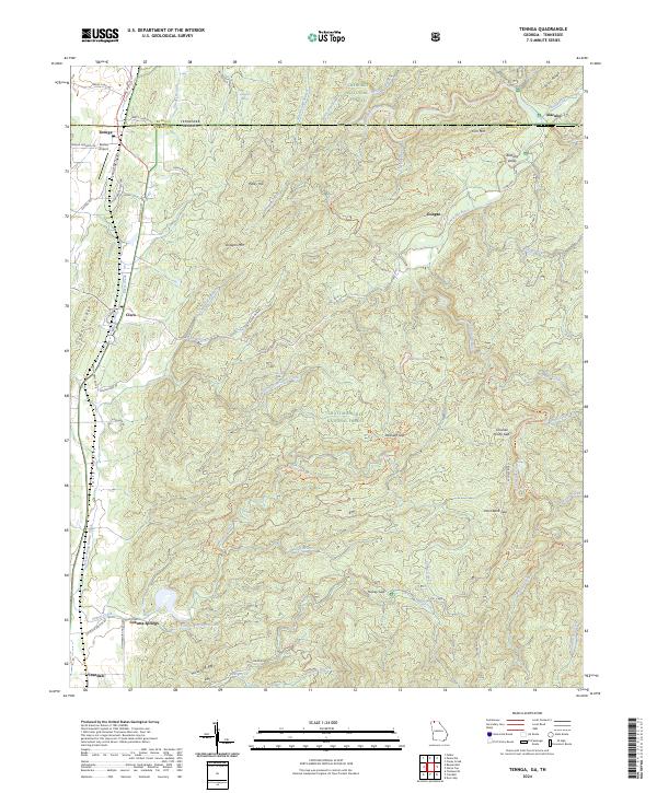
1968 Tennga
Murray County, GA
1971 Crandall
Murray County, GA
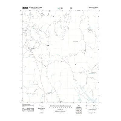
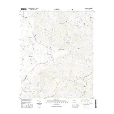
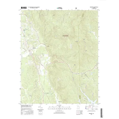
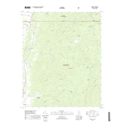
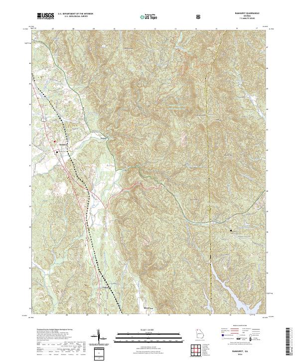
1971 Ramhurst
Murray County, GA
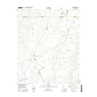
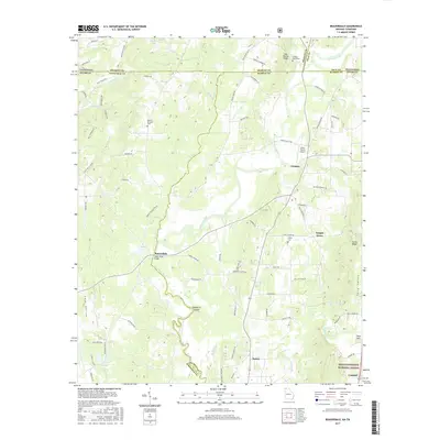
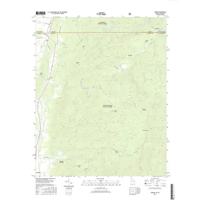
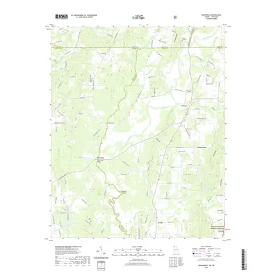
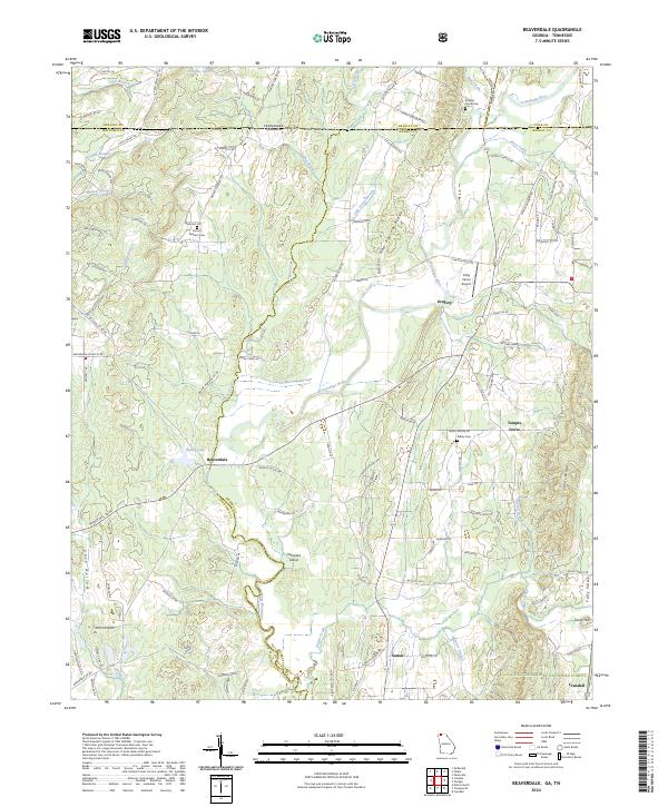
1972 Beaverdale
Murray County, GA
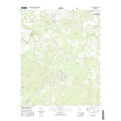
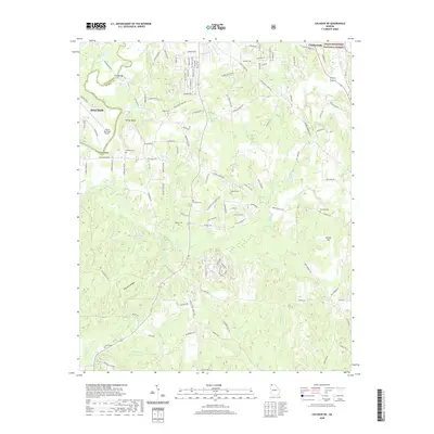
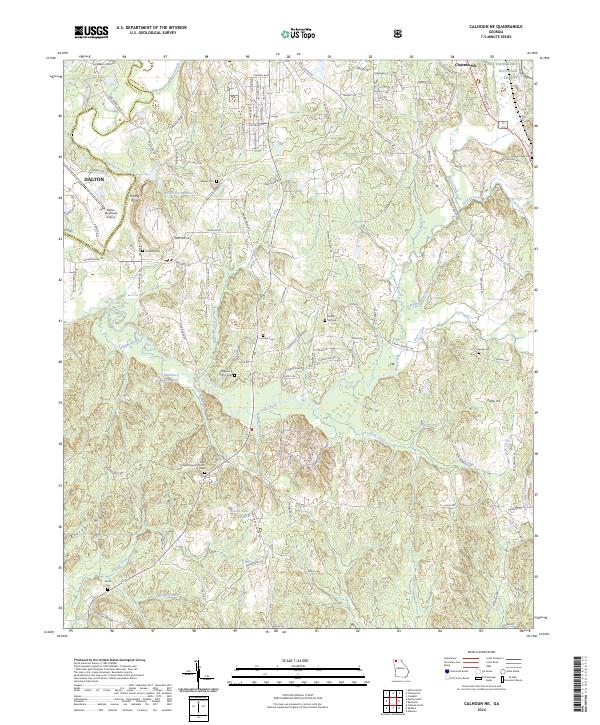
1972 Calhoun NE
Murray County, GA
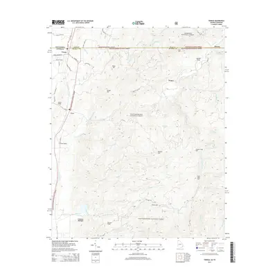
1997 Tennga
Murray County, GA
2011 Beaverdale
Murray County, GA
2011 Calhoun NE
Murray County, GA
2011 Crandall
Murray County, GA
2011 Ramhurst
Murray County, GA
2011 Tennga
Murray County, GA
2014 Beaverdale
Murray County, GA
2014 Calhoun NE
Murray County, GA
2014 Crandall
Murray County, GA
2014 Ramhurst
Murray County, GA
2014 Tennga
Murray County, GA
2017 Beaverdale
Murray County, GA
2017 Calhoun NE
Murray County, GA
2017 Crandall
Murray County, GA
2017 Ramhurst
Murray County, GA
2017 Tennga
Murray County, GA
2020 Beaverdale
Murray County, GA
2020 Calhoun NE
Murray County, GA
2020 Crandall
Murray County, GA
2020 Ramhurst
Murray County, GA
2020 Tennga
Murray County, GA
2024 Beaverdale
Murray County, GA
2024 Calhoun NE
Murray County, GA
2024 Crandall
Murray County, GA
2024 Ramhurst
Murray County, GA
2024 Tennga
Murray County, GA