Old Maps of Maxeys, Georgia for Academic Research
Study the evolution of Maxeys with 18 high-resolution historic maps. Whether you're teaching, researching, or modeling changes in land use, these maps provide essential visual documentation of urban, environmental, and geographic change.
- Analyze long-term change: Track patterns in development, transportation, and natural features.
- Ideal for environmental or urban studies: Support academic projects with primary historical map data.
- Use in the classroom or lab: Educators and researchers rely on these maps to bring historical context to life.
These maps are a powerful tool for teaching, research, and visualizing how Maxeys has changed over the decades.
Maxeys, GA maps
(18)- 1953 Map of Athens, 1966 Print
 1953 Athens1966 Print · USGSGeorgia's Piedmont and Savannah River borderlands come alive in this mid-century survey of the region surrounding Athens and Augusta. Trace the rail-and-river economy through the Georgia RR and landmarks like the Fort Gordon Military Reservation.3 unique versions available
 - 1958 Map of Athens
 1958 Athens1958 Print · USGSNorth-central Georgia and the Savannah River valley are captured in the late fifties, showing the region as the new reservoirs were filling. Researchers can trace historic rail lines like the Georgia RR and locate rural landmarks such as Social Circle, Graves Mountain, and the Fort Gordon Military Reservation.
 - 1959 Map of Athens
 1959 Athens1959 Print · USGSNortheast Georgia and the South Carolina borderlands appear here in the mid-fifties, during a decade of infrastructure growth. Genealogists and historians can trace the rail-and-river geography of towns like Social Circle, the sprawl of Fort Gordon Military Reservation, and the newly formed Clark Hill Reservoir.
 - 1963 Map of Athens
 1963 Athens1963 Print · USGSGeorgia's Piedmont and the Savannah River valley are captured in the early sixties as major reservoirs and military installations reshaped the landscape. Researchers can trace the development of Clark Hill Reservoir, locate the Fort Gordon Military Reservation, and find historic towns like Social Circle and Eatonton.
 - 1971 Map of Maxeys, 1973 Print
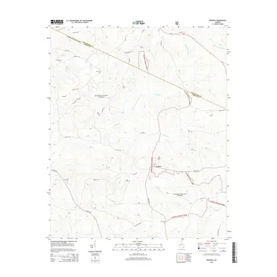
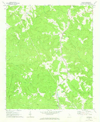 1971 Maxeys1973 Print · USGSThe Oglethorpe County countryside in the early seventies shows a landscape of quiet forest and rail-side hamlets. Researchers can trace rural lineages through sites like Antioch Ch, Arnold Grove Ch, and the many cemeteries near Maxeys.
 - 1972 Map of Penfield, 1973 Print
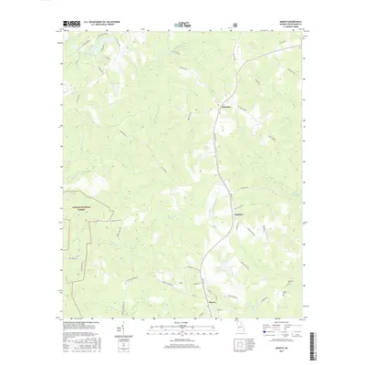
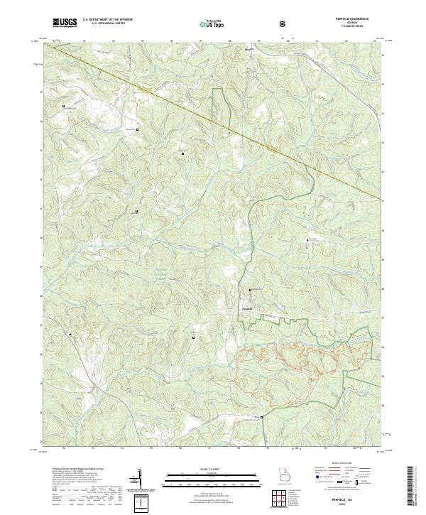
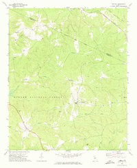 1972 Penfield1973 Print · USGSGreene County in the early seventies remains a landscape of quiet rural hamlets and deep woods within the Oconee National Forest. Researchers can trace the heritage of local congregations and families at sites like Old Mercer Chapel, Shiloh Ch, and the Boswell Chapel Cem.2 unique versions available
 - 1980 Map of Athens, 1981 Print
 1980 Athens1981 Print · USGSNorth Georgia in the early eighties exhibits a landscape of growing university towns and deep-rooted rail hubs. Genealogists can trace family lands near Social Circle or Watkinsville while following the routes of the Central of Georgia and the Appalachee River.2 unique versions available
 - 1988 Map of Athens
 1988 Athens1988 Print · USGSThe Georgia Piedmont and South Carolina borderlands appear in the late eighties as a landscape of vast reservoirs and growing towns. Researchers can trace the legacy of the Georgia RR connecting Athens and Augusta, or locate landmarks within Oconee National Forest.
 - 2011 Map of Penfield, 2011 Print
 2011 Penfield2011 Print · USGSCovers Maxeys, including Woodville, Penfield, and other nearby areas
 - 2011 Map of Maxeys, 2011 Print
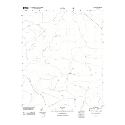
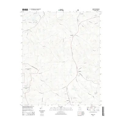
 2011 Maxeys2011 Print · USGSCovers Maxeys, including Crawford, Hutchins, and other nearby areas
 - 2014 Map of Penfield, 2014 Print
 2014 Penfield2014 Print · USGSCovers Maxeys, including Woodville, Penfield, and other nearby areas
 - 2014 Map of Maxeys, 2014 Print
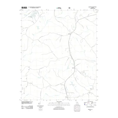
 2014 Maxeys2014 Print · USGSCovers Maxeys, including Crawford, Hutchins, and other nearby areas
 - 2017 Map of Maxeys, 2017 Print
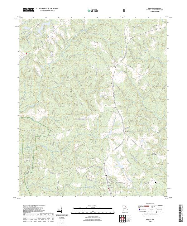
 2017 Maxeys2017 Print · USGSCovers Maxeys, including Crawford, Hutchins, and other nearby areas
 - 2017 Map of Penfield, 2017 Print
 2017 Penfield2017 Print · USGSCovers Maxeys, including Woodville, Penfield, and other nearby areas
 - 2020 Map of Maxeys, 2020 Print
 2020 Maxeys2020 Print · USGSCovers Maxeys, including Crawford, Hutchins, and other nearby areas
 - 2020 Map of Penfield, 2020 Print
 2020 Penfield2020 Print · USGSCovers Maxeys, including Woodville, Penfield, and other nearby areas
 - 2024 Map of Penfield, 2024 Print
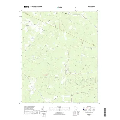
 2024 Penfield2024 Print · USGSGreene County's wooded hills and creek valleys are documented here, showing the rural landscape between Penfield and Maxeys. Researchers can locate numerous family burial sites like Macedonia Cem and Finley Cem or trace the early paths of Town Creek.
 - 2024 Map of Maxeys, 2024 Print
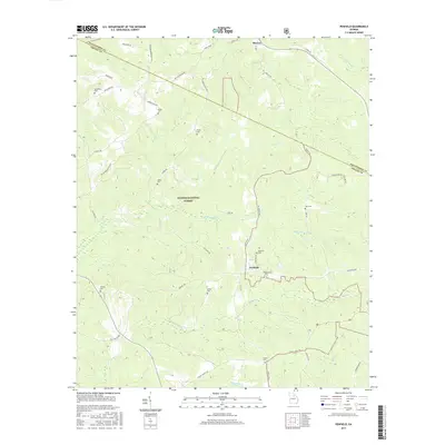
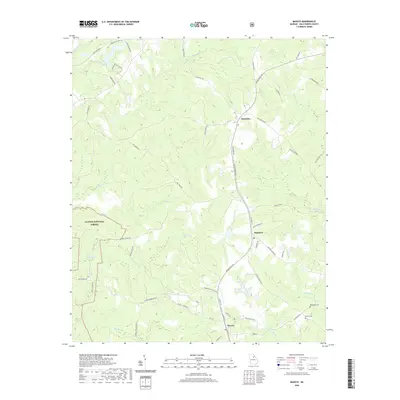
 2024 Maxeys2024 Print · USGSOglethorpe County in the twenty-first century remains a landscape of deep-rooted family history and quiet rural junctions. Researchers can trace ancestral sites at McWhorter Cem or explore the settlement patterns around Stephens and Maxeys.
End of results
Showing maps 1-18 of 18
Top cities near Maxeys
- Athens historical maps
- Greensboro historical maps
- Watkinsville historical maps
- Union Point historical maps
- Winterville historical maps
- Crawford historical maps
See more
Frequently asked questions
- What are the different types of historical maps available for Maxeys?
- What is the oldest map of Maxeys?
- Where can I purchase historical maps of Maxeys for my home or office?
- Where can I download high-res historical maps of Maxeys?
- Are there historical topographic maps available for Maxeys?
- Is there historical aerial imagery available for Maxeys?
- Where are historical maps of Maxeys sourced from?