2020s Maps of Pierce County, Georgia
Explore 26 historic maps of Pierce County from the 2020s. These maps offer a rare glimpse into what life looked like during the 2020s — showing old roads, neighborhoods, homes, and landmarks that have changed or disappeared over time.
Whether you're researching your family's past, planning a metal detecting trip, or studying how Pierce County's landscape evolved across the 2020s, these high-resolution maps are a powerful tool for exploring the history of this region.
- Focus on a specific era: All maps on this page are from the 2020s, giving you a focused view of this time period.
- See what’s changed: Compare century-old streets, trails, and buildings to today's modern landscape using overlays and satellite layers.
- Research with precision: Use these maps for genealogy, historical research, land use analysis, or educational projects.
- View, download, or print: Maps are fully viewable online in high resolution, and can be downloaded or printed for your own records.
Start exploring Pierce County's history through authentic maps from the 2020s. This is your window into the past.
Pierce County, GA maps
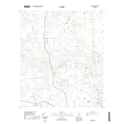
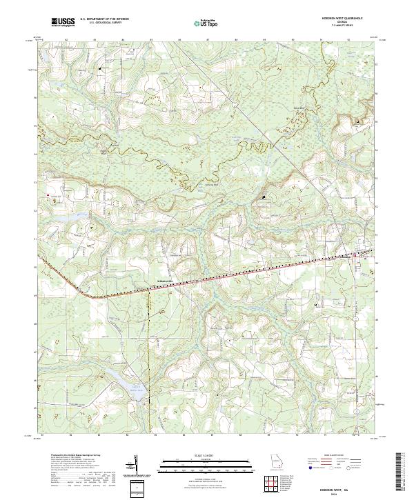
(26)- 2020 Map of Hoboken West, 2020 Print
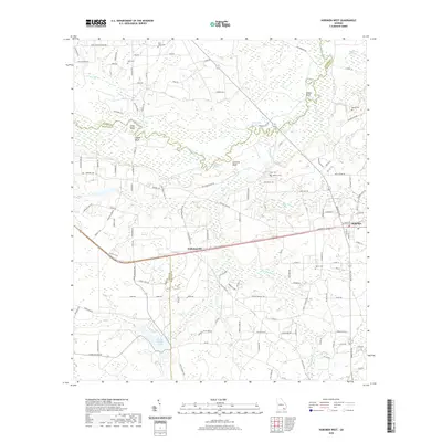 2020 Hoboken West2020 Print · USGSCovers Pierce County, including Hoboken, Schlatterville, and other nearby areas
 - 2020 Map of K'Ville, 2020 Print
 2020 K'Ville2020 Print · USGSCovers Pierce County, including K'Ville, Wayne County, and other nearby areas
 - 2020 Map of Mershon, 2020 Print
 2020 Mershon2020 Print · USGSCovers Pierce County, including Mershon, Walkersville, and other nearby areas
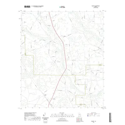
 - 2020 Map of Patterson, 2020 Print
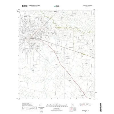
 2020 Patterson2020 Print · USGSCovers Pierce County, including Patterson, Offerman, and other nearby areas
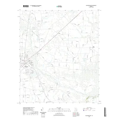
 - 2020 Map of Blackshear West, 2020 Print
 2020 Blackshear West2020 Print · USGSCovers Pierce County, including Blackshear, Homestead, and other nearby areas
 - 2020 Map of Waycross East, 2020 Print
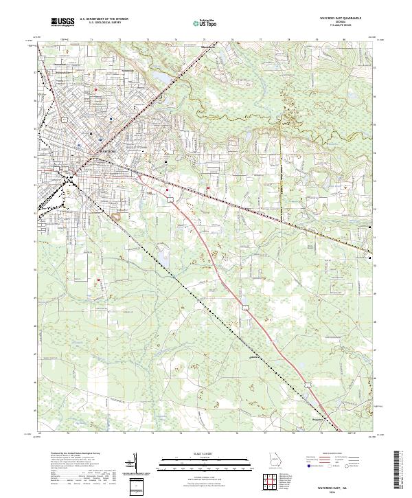
 2020 Waycross East2020 Print · USGSCovers Pierce County, including Waycross, Blackshear, and other nearby areas
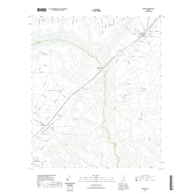
 - 2020 Map of Coffee, 2020 Print
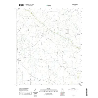 2020 Coffee2020 Print · USGSCovers Pierce County, including Coffee, Lambright, and other nearby areas
 - 2020 Map of Dixie Union, 2020 Print
 2020 Dixie Union2020 Print · USGSCovers Pierce County, including Dixie Union, Waltertown, and other nearby areas
 - 2020 Map of Screven, 2020 Print
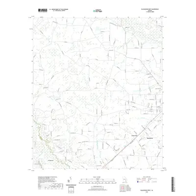
 2020 Screven2020 Print · USGSCovers Pierce County, including Screven, Patterson, and other nearby areas
 - 2020 Map of Blackshear East, 2020 Print
 2020 Blackshear East2020 Print · USGSCovers Pierce County, including Blackshear, Patterson, and other nearby areas
 - 2020 Map of Patterson SE, 2020 Print
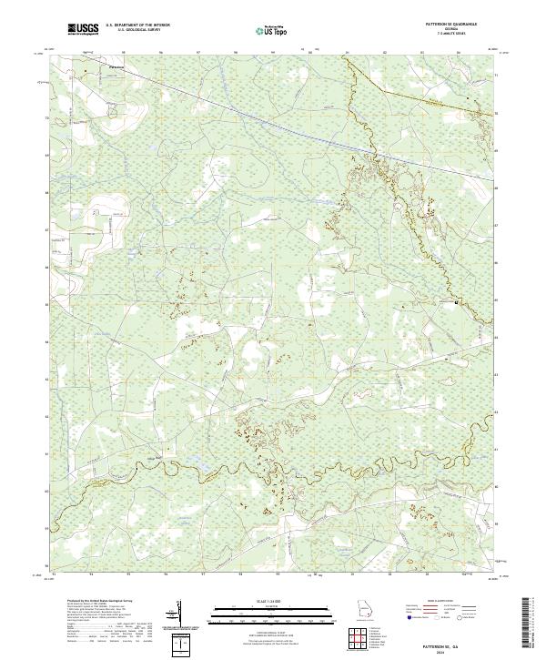
 2020 Patterson SE2020 Print · USGSCovers Pierce County, including Patterson, Wayne County, and other nearby areas
 - 2020 Map of Crawley, 2020 Print
 2020 Crawley2020 Print · USGSCovers Pierce County, including Bolen, Ware County, and other nearby areas
 - 2020 Map of Hortense, 2020 Print
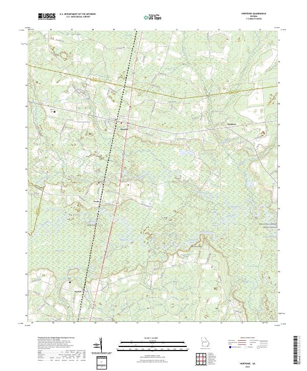
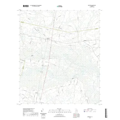 2020 Hortense2020 Print · USGSCovers Pierce County, including Trudie, Hortense, and other nearby areas
 - 2024 Map of Patterson, 2024 Print
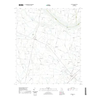
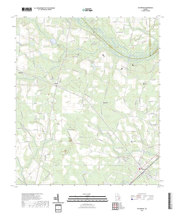 2024 Patterson2024 Print · USGSSoutheast Georgia's rural landscape comes into focus in this contemporary survey of Pierce and Wayne counties. Family researchers can trace ancestral sites through numerous small burial grounds like Tyre Cem, the Bristol Baptist Church, and the settlement at Aspinwall.
 - 2024 Map of Screven, 2024 Print
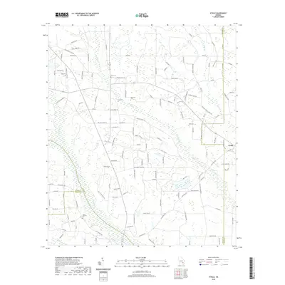
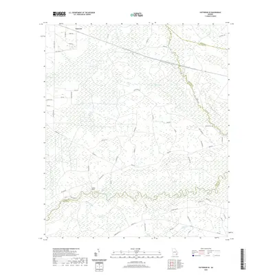
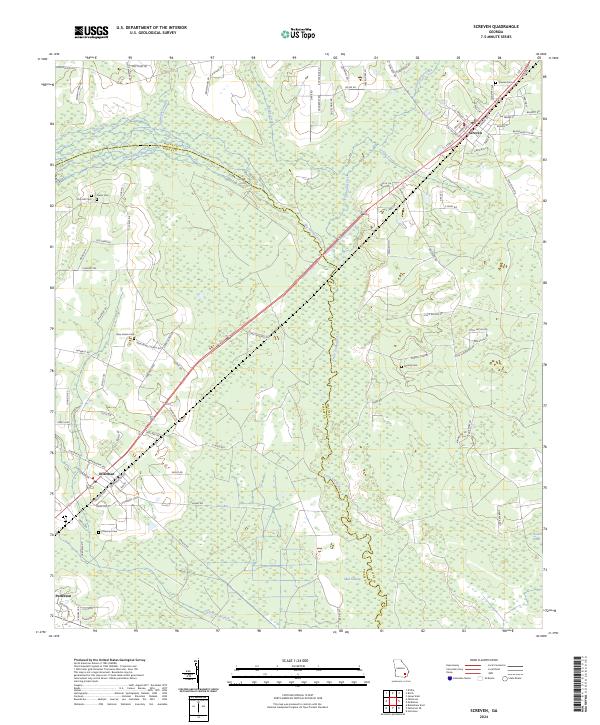 2024 Screven2024 Print · USGSThe towns of Screven and Offerman are depicted in the 2020s as modern communities deeply connected to their coastal plain heritage. Researchers can trace family sites like Moody Cem and New Home Ch or explore the drainage of Zero Bay and the Little Satilla River.
 - 2024 Map of Blackshear West, 2024 Print
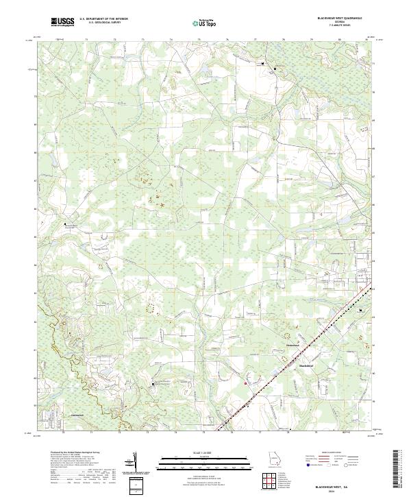 2024 Blackshear West2024 Print · USGSSoutheastern Georgia near the Satilla River is documented in this contemporary survey of Pierce and Ware counties. Genealogists can trace family landmarks and burial sites such as Ben James Primitive Baptist Church Cem and Nunn Cem near Blackshear.
 - 2024 Map of K'Ville, 2024 Print
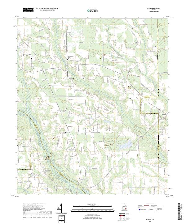 2024 K'Ville2024 Print · USGSSoutheast Georgia's riverine landscape is captured here in the twenty-first century, showing the rural settlement patterns along the Appling and Wayne county lines. Researchers can trace family history through numerous landmarks like Milikin Methodist Church Cem, K'Ville, and Martha Memorial Church.
 - 2024 Map of Dixie Union, 2024 Print
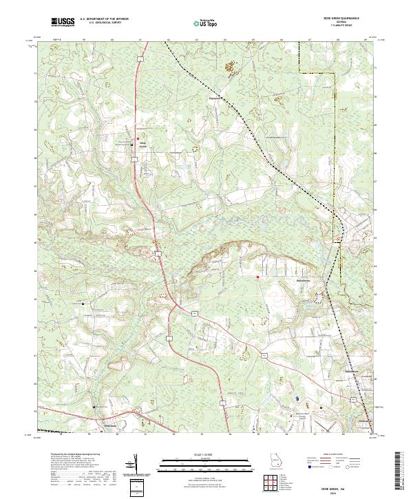 2024 Dixie Union2024 Print · USGSWare County life in the early 21st century centers on the river and rail corridors between Waresboro and Jamestown. Researchers can trace local lineage at the Rome Primitive Baptist Church Cem or follow the path of the Satilla River.
 - 2024 Map of Coffee, 2024 Print
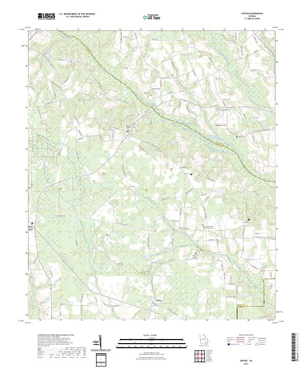 2024 Coffee2024 Print · USGSBacon County at the present day is a landscape of creek-bottom timber and quiet rural settlements. Researchers can locate family roots at Antioch Baptist Church Cem, Moody Cem, and the community of Coffee.
 - 2024 Map of Blackshear East, 2024 Print
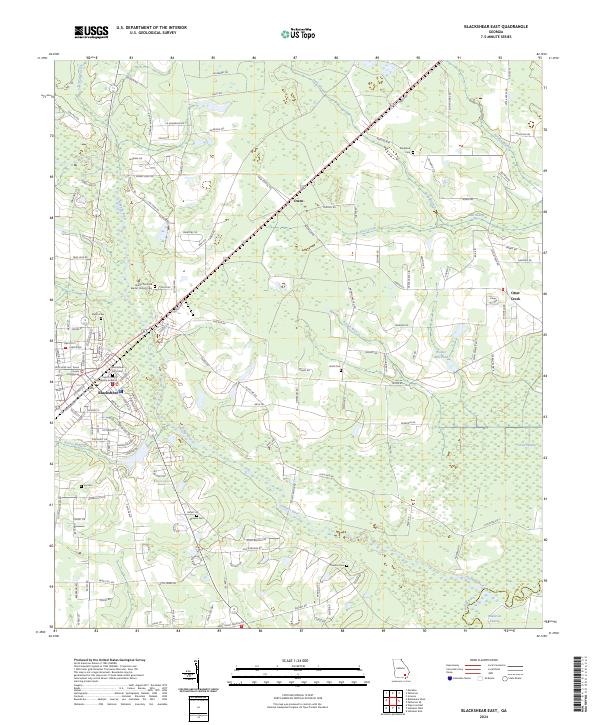 2024 Blackshear East2024 Print · USGSThe county seat of Blackshear and its eastern rural surroundings are documented here as they appeared in 2024. Researchers can trace family history through several local burial sites, including Blackshear City Cemetery, Smith Cem, and Shiloh Primitive Baptist Church Cem.
 - 2024 Map of Hoboken West, 2024 Print
 2024 Hoboken West2024 Print · USGSThe Satilla River basin in Brantley and Pierce counties reveals a landscape shaped by water and family-named homesteads in recent years. Researchers can trace rural lineages at Enon Cem, Martin Cem, and the historic settlement of Schlatterville.
 - 2024 Map of Hortense, 2024 Print
 2024 Hortense2024 Print · USGSBrantley County and its neighbors are mapped here in the early twenty-first century, showing a landscape defined by the winding Satilla River. Genealogists can locate family sites like Baxter Cem and Lewis Cem near the rail-side community of Raybon.
 - 2024 Map of Patterson SE, 2024 Print
 2024 Patterson SE2024 Print · USGSThe wetlands and river bends of southeast Georgia are documented here in the 2020s. Genealogists and local historians can locate Raulerson Cem and Indian Bluff near the meandering Satilla River.
 - 2024 Map of Waycross East, 2024 Print
 2024 Waycross East2024 Print · USGSWaycross and its surrounding wetlands are shown in great detail in this contemporary survey of southeastern Georgia. Genealogists and researchers can trace family landmarks like Hazzard Hill Cem or locate the rural communities of Astoria and Braganza.
 - 2024 Map of Mershon, 2024 Print
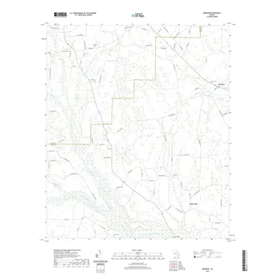
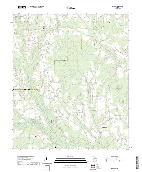 2024 Mershon2024 Print · USGSPierce and Bacon counties show a traditional landscape of river bottomlands and rural settlements in the twenty-first century. Genealogists can trace family locations through numerous sites like Youmans - Davis Cem, Ramah Cem, and the village of Mershon.
Showing maps 1-25 of 26
Top cities of Pierce County
Frequently asked questions
- What are the different types of historical maps available for Pierce County?
- What is the oldest map of Pierce County?
- Where can I purchase historical maps of Pierce County for my home or office?
- Where can I download high-res historical maps of Pierce County?
- Are there historical topographic maps available for Pierce County?
- Is there historical aerial imagery available for Pierce County?
- Where are historical maps of Pierce County sourced from?