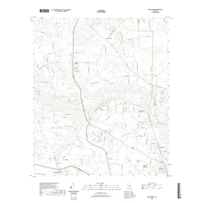
2020 Map of Dixie Union
USGS Topo · Published 2020About this map
The Satilla River meanders across this landscape in southern Georgia, creating a dense network of wetlands and creek drainage that includes Dryden Cr and Kettle Cr. This 2020 record of the region shows the sprawling residential clusters and agricultural roads that define the rural character north of Waycross. The map anchors on the namesake settlement of Dixie Union, where local routes like Telmore-Dixie Union Rd and Buck King Rd converge near the Dryden Cr headwaters.
Find a feature on this map
119 named features on this map. Tap any name to fly to it.
Don’t see what you’re looking for? This feature index may not catch every label — zoom into the map to look around manually.
Map Details
Editions of this 2020 Dixie Union Map
This is the sole edition of this map. No revisions or reprints were ever made.
Other maps of this area

1953 · Waycross
USGS Topo · 1:250,000

1958 · Waycross
USGS Topo · 1:250,000

1967 · Waycross West
USGS Topo · 1:24,000

1967 · Pine Valley
USGS Topo · 1:24,000

1967 · Waycross East
USGS Topo · 1:24,000

1971 · Dixie Union
USGS Topo · 1:24,000

1971 · Beach
USGS Topo · 1:24,000

1971 · Talmo
USGS Topo · 1:24,000

1971 · Blackshear West
USGS Topo · 1:24,000

1971 · Mershon
USGS Topo · 1:24,000