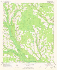
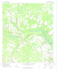
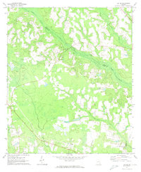
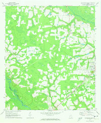
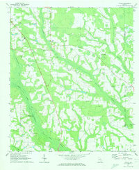
1971 Map of Mershon
USGS Topo · Published 1974About this map
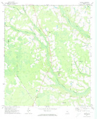
The Alabaha River and the complex drainage of Hurricane Creek define this rural landscape on the border of Bacon and Pierce counties. In the early 1970s, the area remained a network of scattered agricultural settlements and small religious centers. The community of Mershon sits at a crossroads in the northeast, while Walkersville serves as a southern anchor near the river. This survey captures a highly localized geography of faith and family, evidenced by the numerous country churches and cemeteries that dot the wood-lined creeks. Notable sites include Tenmile Creek Ch and Ramah Ch, alongside family-named burial grounds like Henderson Cem and Youmans Cem. The terrain is marked by extractive sites such as a Sandpit and Gravel Pit, reflecting the local industrial activity along the waterways during this era.
Find a feature on this map
22 named features on this map. Tap any name to fly to it.
Don’t see what you’re looking for? This feature index may not catch every label — zoom into the map to look around manually.
Map Details
Editions of this 1971 Mershon Map
This is the sole edition of this map. No revisions or reprints were ever made.
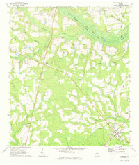
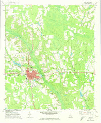
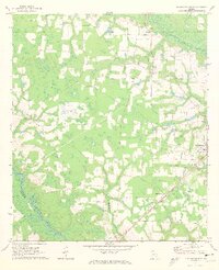
Other maps of this area

1953 · Waycross
USGS Topo · 1:250,000

1958 · Waycross
USGS Topo · 1:250,000
1971 · Dixie Union
USGS Topo · 1:24,000
1971 · Coffee
USGS Topo · 1:24,000
1971 · Blackshear East
USGS Topo · 1:24,000
1971 · K'ville
USGS Topo · 1:24,000
1971 · Patterson
USGS Topo · 1:24,000
1971 · Alma
USGS Topo · 1:24,000
1971 · Blackshear West
USGS Topo · 1:24,000
1971 · Crawley
USGS Topo · 1:24,000