
1971 Map of Blackshear East
USGS Topo · Published 1974About this map
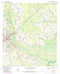
Alabaha River and the Satilla River define the watery landscape of this southern Georgia survey, where the drainages of Kettle Creek and Hacklebarney Creek cut through the sandy pine lands. The settlement pattern in the early 1970s is remarkably dispersed, characterized by isolated family landmarks and country congregations such as Hacklebarney Ch and Ben James Ch. A distinct local commercial character is evident at the Jot 'Em Down Store, situated north of the more developed fringes of Blackshear.
Find a feature on this map
25 named features on this map. Tap any name to fly to it.
Don’t see what you’re looking for? This feature index may not catch every label — zoom into the map to look around manually.
Map Details
Editions of this 1971 Blackshear East Map
2 editions found
Other maps of this area

1953 · Waycross
USGS Topo · 1:250,000

1958 · Waycross
USGS Topo · 1:250,000
1966 · Hoboken East
USGS Topo · 1:24,000

1967 · Hoboken West
USGS Topo · 1:24,000

1967 · Waycross East
USGS Topo · 1:24,000

1971 · Patterson
USGS Topo · 1:24,000
1971 · Screven
USGS Topo · 1:24,000

1971 · Blackshear West
USGS Topo · 1:24,000

1971 · Mershon
USGS Topo · 1:24,000
1971 · Patterson SE
USGS Topo · 1:24,000