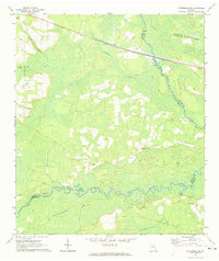
1971 Map of Patterson SE
USGS Topo · Published 1974About this map
The Satilla River flows through the southern half of this Pierce County landscape, creating a broad wetland environment defined by Raulerson Swamp and Kneeknocker Swamp. The 1971 terrain is a complex network of wetlands and small stream branches like Sixty Foot Branch and Otter Creek. Human settlement is concentrated in small community hubs and spiritual centers, such as Laura Chapel and the Raulerson Community Center.
Find a feature on this map
22 named features on this map. Tap any name to fly to it.
Don’t see what you’re looking for? This feature index may not catch every label — zoom into the map to look around manually.
Map Details
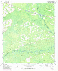
Editions of this 1971 Patterson SE Map
2 editions found
Other maps of this area

1917 · Nahunta
USGS Topo · 1:62,500

1918 · Hortense
USGS Topo · 1:62,500

1918 · Nahunta
USGS Topo · 1:62,500

1944 · Hortense
USGS Topo · 1:62,500

1946 · Brunswick
USGS Topo · 1:250,000

1948 · Brunswick
USGS Topo · 1:250,000

1953 · Waycross
USGS Topo · 1:250,000

1956 · Brunswick
USGS Topo · 1:250,000

1958 · Waycross
USGS Topo · 1:250,000

1961 · Brunswick
USGS Topo · 1:250,000