Old Maps of Rockmart, Georgia for Hiking & Exploration
Hike through history with 29 historic maps of Rockmart. Explore old trails, ghost towns, and forgotten backroads — perfect for outdoor adventurers and local explorers.
- Rediscover forgotten places: Map out old mining camps, roads, and footpaths that no longer exist on modern maps.
- Layer with modern tools: Combine with LiDAR or satellite views to plan hikes through historical terrain.
- Made for exploration: Popular among hikers, overlanders, and local history lovers.
Use these maps to find adventure and explore the hidden past of Rockmart.
Rockmart, GA maps
(29)- 1886 Map of Rome
 1886 Rome1886 Print · USGSNorthwest Georgia in the mid-1880s is captured as a vital junction of river navigation and emerging rail power. Genealogists and historians can trace family locations near Rome and Cedartown or find rural landmarks like Kirk's Grave and Cunningham or Agate P.O.
 - 1889 Map of Tallapoosa
 1889 Tallapoosa1889 Print · USGSAcross the Georgia and Alabama border in the late nineteenth century, iron furnaces and river mills powered the local economy. Genealogists can trace family homesteads near landmarks like Tecumseh Furnace, Pine Wood Church, and Allgood's Mill.
 - 1892 Map of Tallapoosa
 1892 Tallapoosa1892 Print · USGSThe Georgia-Alabama borderlands at the end of the nineteenth century reveal a landscape of early industry and river-powered mills. Genealogists and historians can trace family-named landmarks like Allgood Mill, Rainwater Ford, and the Tecumseh Furnace ruins.
 - 1897 Map of Tallapoosa
 1897 Tallapoosa1897 Print · USGSThe Georgia and Alabama borderlands are captured here in the late nineteenth century as the railroad and milling industries reshaped the landscape. Researchers can trace family-named sites like Munroe Mill, early crossings at Rainwater Ford, and old depots at Rockrun Station.4 unique versions available
 - 1898 Map of Rome, 1960 Print
 1898 Rome1960 Print · USGSNorthwest Georgia in the late nineteenth century is a landscape of mountain ridges and busy river confluences. Researchers can trace historic river crossings like Perkins Ferry and the rail-side growth of Summerville, Lindale, and Rome.
 - 1899 Map of Rome
 1899 Rome1899 Print · USGSNorthwest Georgia and the Alabama border are captured in the late 1890s, when river travel and mountain gaps dictated the flow of commerce. Genealogists can trace family footprints near Miller Ferry, Raccoon Mills, and the thriving rail hub of Rome.
 - 1904 Map of Rome
 1904 Rome1904 Print · USGSNorthwest Georgia and the Alabama borderlands are captured here during a period of heavy river traffic and expanding rail lines. Genealogists can trace family footprints across dozens of river crossings like Freeman Ferry and early settlements such as Chubbtown or Raccoon Mills.4 unique versions available
 - 1953 Map of Atlanta, 1965 Print
 1953 Atlanta1965 Print · USGSThe growing Atlanta metro and the industrial corridors of Eastern Alabama are captured here during the mid-century transition. Researchers can trace the rail-to-road shift through hubs like Anniston and La Grange or locate sites within Fort McClellan.2 unique versions available
 - 1955 Map of Rome
 1955 Rome1955 Print · USGSThe tri-state borderlands of Georgia, Alabama, and Tennessee appear in the mid-fifties as a landscape of ridge-and-valley industry and river navigation. Genealogists can trace family footprints near Chattanooga, the iron works of Gadsden, and textile towns like Trion or Summerville.
 - 1957 Map of Atlanta
 1957 Atlanta1957 Print · USGSAtlanta and the Alabama borderlands appear here in the mid-fifties, capturing the region's post-war suburban and industrial transition. Trace the development of early transport hubs and military sites like Fort McPherson, Anniston, and the Kennesaw Mountain National Battlefield Park.
 - 1958 Map of Atlanta
 1958 Atlanta1958 Print · USGSMid-century Georgia and Alabama are shown in this regional study of the corridor between the Chattahoochee River and the Appalachian foothills. Local historians can trace the development of suburban Atlanta alongside vital landmarks like Stone Mountain, Dobbins AFB, and the Seaboard Air Line rail routes.
 - 1958 Map of Buchanan, 1960 Print
 1958 Buchanan1960 Print · USGSHaralson and Polk Counties are shown in the late fifties as a landscape of ridge-top churches and valley railroads. Genealogists can trace family footprints at Lees Chapel, Abernathys Mill, and along the Central of Georgia Railroad.2 unique versions available
 - 1958 Map of Rome, 1966 Print
 1958 Rome1966 Print · USGSNorthwest Georgia and neighboring Tennessee and Alabama are captured here in the late fifties, showcasing a landscape of high ridges and river valleys. Researchers can trace historic rail lines like the Seaboard Air Line RR and explore the bounds of Cloudland Canyon State Park or Fort Oglethorpe.3 unique versions available
 - 1961 Map of Rome
 1961 Rome1961 Print · USGSNorthwest Georgia and neighboring Tennessee and Alabama are shown here at a moment of significant mid-century growth. Researchers can trace the rail networks of the Central of Georgia or locate landmarks within Chickamauga and Chattanooga Nat Military Park.
 - 1963 Map of Rome
 1963 Rome1963 Print · USGSThe tri-state corner of Georgia, Alabama, and Tennessee is captured here during a period of massive reservoir expansion and post-war growth. Genealogists and historians can trace the rail corridors of the Southern Ry or locate landmarks like Fort Oglethorpe and Cloudland Canyon State Park.
 - 1968 Map of Rockmart North, 1970 Print
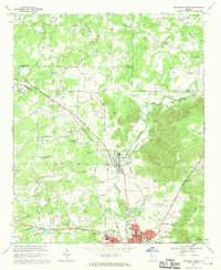 1968 Rockmart North1970 Print · USGSNorthwest Georgia during the late sixties was a landscape of rail-dependent industrial towns and rural family farmsteads. Genealogists can trace ancestral sites like Shady Grove Ch, Rose Hill Cemetery, and the old quarries around Portland.2 unique versions available
 - 1973 Map of Rockmart South, 1975 Print
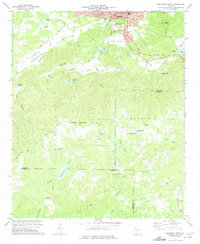 1973 Rockmart South1975 Print · USGSThe industrial and rural landscape of Polk County comes into focus in the early 1970s, from the rail yards of Rockmart to the banks of the TALLAPOOSA RIVER. Researchers can trace old family settlements and local landmarks like Van Wert, Noah Chapel, and the County Line Cem.2 unique versions available
 - 1981 Map of Rome, 1982 Print
 1981 Rome1982 Print · USGSNorthwest Georgia and the Alabama borderlands come into focus in the early eighties, defined by the winding Coosa River and the high ridges of Lookout Mountain. Researchers can trace the rail-and-river economy through Rome, Gadsden, and Cedartown, alongside natural landmarks like Yellow Creek Falls.2 unique versions available
 - 1981 Map of Anniston, 1982 Print
 1981 Anniston1982 Print · USGSNortheast Alabama and the Georgia borderlands come alive in the early eighties, showing a landscape of heavy industry, military outposts, and mountain forests. Genealogists and historians can trace the development of towns like Anniston and Carrollton, or locate landmarks such as Whitesides Mill and Webster Chapel.2 unique versions available
 - 2011 Map of Rockmart North, 2011 Print
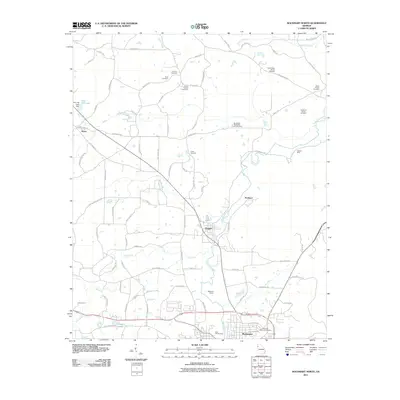 2011 Rockmart North2011 Print · USGSThis Georgia survey captures the communities between Rockmart and Aragon at the start of the century. Genealogists can locate family-named landmarks like the Dickerson Family Cemetery and trace the industrial footprint of the Rockmart Quarry.
 - 2011 Map of Rockmart South, 2011 Print
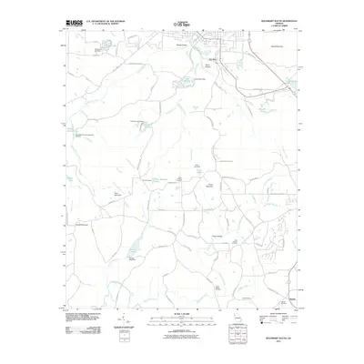 2011 Rockmart South2011 Print · USGSNear the turn of the twenty-first century, this Polk County landscape reflects a deep rural heritage alongside new recreational paths like the Silver Comet Trl. Genealogists can trace family roots at Beulah Cemetery and Maple Springs Cemetery or locate old community centers like Van Wert.
 - 2014 Map of Rockmart North, 2014 Print
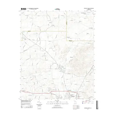 2014 Rockmart North2014 Print · USGSThe northern reaches of Rockmart and the surrounding tri-county area are shown in detail during the early twenty-first century. Genealogists and local historians can trace rural burial sites like Flint Hill Cem and settlements such as Aragon, Seney, and Crossroads.
 - 2014 Map of Rockmart South, 2014 Print
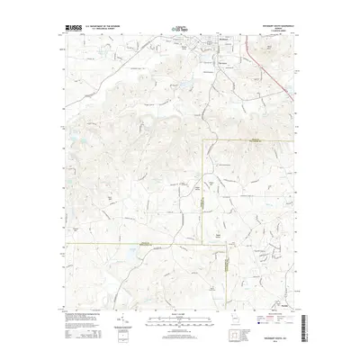 2014 Rockmart South2014 Print · USGSThe northern Georgia borderlands near the turn of the 21st century reveal a landscape of creek-side settlements and mountain ridges. Genealogists can find several historic burial sites, including Maple Springs Cem and Beulah Cem, while tracing old routes through Van Wert and Happy Hollow.
 - 2017 Map of Rockmart South, 2017 Print
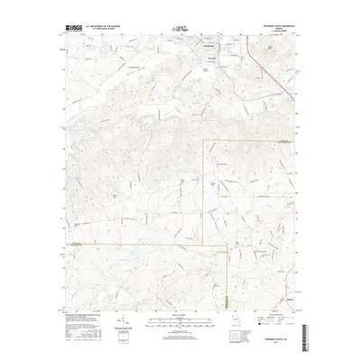 2017 Rockmart South2017 Print · USGSThe hill country south of Rockmart and Van Wert is captured in detail during the late twenty-teens. Researchers can trace rural cemeteries such as Holly Springs Cem and family-named landmarks like Everett Mtn and Morgan Valley.
 - 2017 Map of Rockmart North, 2017 Print
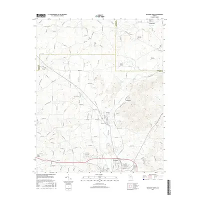 2017 Rockmart North2017 Print · USGSNorth Georgia's industrial and rural intersections come alive in this recent survey of the Aragon and Rockmart area. Genealogists and historians can trace numerous burial grounds and family landmarks, including Dickerson Family Cem and Culver Chapel Cem near Euharlee Creek.
Showing maps 1-25 of 29
Top cities near Rockmart
- Rome historical maps
- Cartersville historical maps
- Dallas historical maps
- Cedartown historical maps
- Euharlee historical maps
- Hiram historical maps
See more
Frequently asked questions
- What are the different types of historical maps available for Rockmart?
- What is the oldest map of Rockmart?
- Where can I purchase historical maps of Rockmart for my home or office?
- Where can I download high-res historical maps of Rockmart?
- Are there historical topographic maps available for Rockmart?
- Is there historical aerial imagery available for Rockmart?
- Where are historical maps of Rockmart sourced from?